Old Maps of Closeburn Manor, Virginia for Academic Research
Study the evolution of Closeburn Manor with 13 high-resolution historic maps. Whether you're teaching, researching, or modeling changes in land use, these maps provide essential visual documentation of urban, environmental, and geographic change.
- Analyze long-term change: Track patterns in development, transportation, and natural features.
- Ideal for environmental or urban studies: Support academic projects with primary historical map data.
- Use in the classroom or lab: Educators and researchers rely on these maps to bring historical context to life.
These maps are a powerful tool for teaching, research, and visualizing how Closeburn Manor has changed over the decades.
Closeburn Manor, VA maps
(13)- 1892 Map of Lynchburg
 1892 Lynchburg1892 Print · USGSCentral Virginia in the 1890s centered on the vital rail and river junction of Lynchburg and its surrounding tobacco-growing counties. Family historians can trace ancestral crossings at Wards Road Ferry, locate the Academy church, and follow the early Virginia Midland Rail Road through Evington.6 unique versions available
 - 1947 Map of Roanoke, 1948 Print
 1947 Roanoke1948 Print · USGSCentral Virginia in the late 1940s reveals a region defined by its great mountain ridges and the powerful river-and-rail economy connecting Roanoke to Lynchburg. Researchers can trace the path of the Virginian RR and locate historic county seats like Charlotte Court House.2 unique versions available
 - 1950 Map of Goode, 1952 Print
 1950 Goode1952 Print · USGSMid-century Bedford and Campbell Counties are documented here as the rural landscape meets the mountains. Genealogists can trace the location of numerous country landmarks like Poplar Forest, Coltons Mill, and the many schools and churches including North Bedford Ch.3 unique versions available
 - 1959 Map of Roanoke
 1959 Roanoke1959 Print · USGSCentral Virginia and the Blue Ridge appear in great detail during the late fifties, showcasing the transition from mountain industry to Piedmont farmland. Trace the path of the Norfolk and Western railroad or find old river towns like Appomattox and Amelia Court House.
 - 1963 Map of Roanoke
 1963 Roanoke1963 Print · USGSCentral Virginia and the Blue Ridge front appear here in the early sixties, caught between their deep railroad roots and new postwar developments. Genealogists and historians can trace the rail lines of the Norfolk and Western through towns like Bedford and Altavista, or locate family landmarks near Smith Mountain Lake.
 - 1965 Map of Forest, 1967 Print
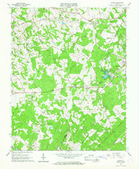 1965 Forest1967 Print · USGSThe border of Bedford and Campbell counties comes alive in the mid-1960s, showing a mix of historic estates and mid-century recreation. Trace the landscape from Jefferson's Poplar Forest to the New London Drag Strip and Airport and New London Academy.4 unique versions available
 - 1971 Map of Roanoke, 1977 Print
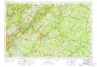 1971 Roanoke1977 Print · USGSThe Virginia Piedmont and Blue Ridge mountains meet in this early 1970s landscape of river valleys and rail hubs. Researchers can trace historic transportation routes and landmarks like the Appomattox Court House Nat Hist Pk, the Peaks of Otter, and Amelia Court House.2 unique versions available
 - 1985 Map of Roanoke, 1986 Print
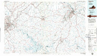 1985 Roanoke1986 Print · USGSMid-eighties Virginia comes into focus across the Blue Ridge and the upper Roanoke River valley during a period of steady regional growth. Genealogists and historians can trace family-named landmarks like Mt Moriah Ch, local hubs such as Cave Spring, and sites like the New London Airport (Drag Strip).2 unique versions available
 - 2010 Map of Forest, 2010 Print
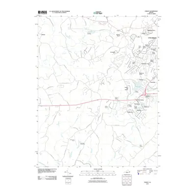 2010 Forest2010 Print · USGSBedford County's suburban corridors near Lynchburg are documented here at a time of significant residential expansion. Researchers can trace family history at the Callaway-Steptoe Cemetery or explore established communities like New London and Bedford Springs.
 - 2013 Map of Forest, 2013 Print
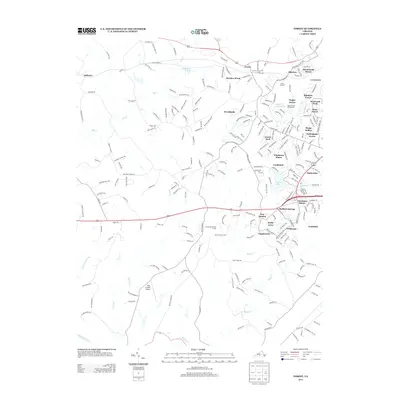 2013 Forest2013 Print · USGSBedford County's suburban and rural landscapes are captured here during a time of steady residential growth west of Lynchburg. Genealogists and local historians can trace the development of Poplar Forest, New London, and the lakeside community of Timberlake.
 - 2016 Map of Forest, 2016 Print
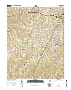 2016 Forest2016 Print · USGSBedford and Campbell counties were experiencing significant suburban expansion south of the James River in the mid-2010s. Genealogists and historians can trace family locations near the Callaway-Steptoe Cem, the historic Poplar Forest estate, and New London.
 - 2019 Map of Forest, 2019 Print
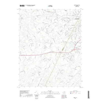 2019 Forest2019 Print · USGSBedford and Campbell Counties come together in this 2019 survey, showcasing the historic corridor between the Blue Ridge and Lynchburg. Genealogists and historians can trace the grounds of Poplar Forest or locate early burial sites like Steptoe Cem and Mount Moriah Cem.
 - 2022 Map of Forest, 2022 Print
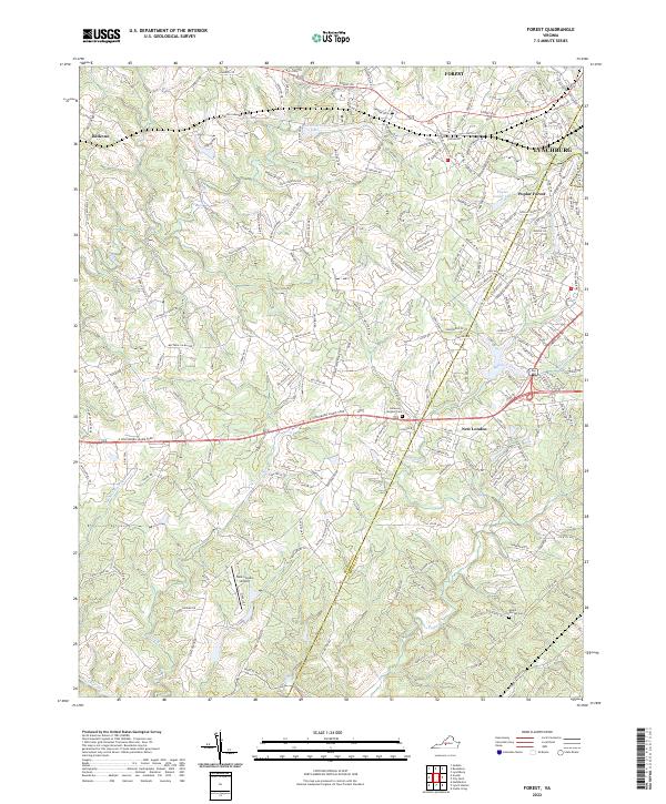 2022 Forest2022 Print · USGSBedford and Campbell Counties are captured in this modern survey as residential growth spreads west from Lynchburg. Researchers can trace historical sites like Poplar Forest and New London, or locate family resting places at Callaway Steptoe Cem.
End of results
Showing maps 1-13 of 13
Frequently asked questions
- What are the different types of historical maps available for Closeburn Manor?
- What is the oldest map of Closeburn Manor?
- Where can I purchase historical maps of Closeburn Manor for my home or office?
- Where can I download high-res historical maps of Closeburn Manor?
- Are there historical topographic maps available for Closeburn Manor?
- Is there historical aerial imagery available for Closeburn Manor?
- Where are historical maps of Closeburn Manor sourced from?