Old Maps of Colonial Point, Virginia for Genealogy
Trace your family roots with 13 historic maps of Colonial Point. These high-res maps reveal old neighborhoods, homesites, landmarks, and streets — helping you uncover where your ancestors lived and how the area evolved over time.
- Explore historic neighborhoods: Identify where your relatives may have lived in the 1800s or 1900s.
- Compare maps over time: Trace the changes in streets, buildings, and landmarks for multi-generational research.
- Perfect for genealogy & ancestry research: Used by family historians and researchers to map out lineage and migration.
These maps are an incredible resource for exploring your personal connection to Colonial Point's past.
Colonial Point, VA maps
(13)- 1907 Map of Norfolk
 1907 Norfolk1907 Print · USGSCoastal Virginia is mapped here at the dawn of the twentieth century, during the bustle of the great Jamestown Exposition. Researchers can trace the early rail-and-canal economy through the Albemarle and Chesapeake Canal, the Navy Yard, and historic outposts like the Cape Henry Light.
 - 1921 Map of Newport News
 1921 Newport News1921 Print · USGSThe Virginia tidewater area comes alive in the early twentieth century, showing a landscape defined by maritime industry and massive military installations. Genealogists and historians can trace rail lines and early settlements from Camp Stuart down to Jolliff School and the Dismal Swamp.4 unique versions available
 - 1952 Map of Bowers Hill
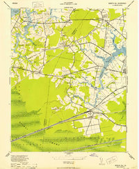 1952 Bowers Hill1952 Print · USGSIn the early 1950s, the border of Nansemond and Norfolk counties was a landscape of tide-water branches and heavy rail. Genealogists can trace family footprints around Pughsville, Sunray, and numerous rural landmarks like Glebe Ch and Florence School.
 - 1953 Map of Norfolk, 1954 Print
 1953 Norfolk1954 Print · USGSCoastal Virginia and northeastern North Carolina appear here during the post-war industrial boom, showing the critical rail-and-sea connections of Hampton Roads. Genealogists can trace family roots through rural landmarks like Gethsemane Ch, the Caledonia State Prison Farm, and the vast interior of the Dismal Swamp.4 unique versions available
 - 1955 Map of Bowers Hill, 1958 Print
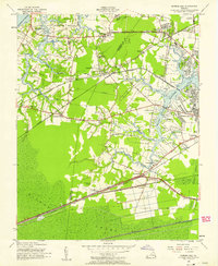 1955 Bowers Hill1958 Print · USGSCoastal Virginia in the mid-fifties shows a landscape of tidal creeks and burgeoning suburbs bridged by a massive rail network. Researchers can trace family sites at Pughsville, find old rural landmarks like Glebe Church, or locate the historic Portsmouth Airfield.
 - 1965 Map of Bowers Hill, 1967 Print
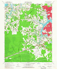 1965 Bowers Hill1967 Print · USGSSoutheastern Virginia at the height of the mid-century suburban boom shows the convergence of the Dismal Swamp with a growing transportation hub. Researchers can trace the development of Nansemond Shores or locate the old Sunray settlement near the Seaboard Air Line rail corridors.4 unique versions available
 - 1985 Map of Norfolk, 1986 Print
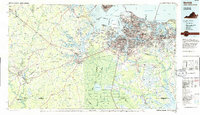 1985 Norfolk1986 Print · USGSThe Tidewater region in the mid-eighties shows the dense urban expansion of the coastal cities alongside the preservation of the Great Dismal Swamp. Researchers can trace rural family-named crossroads and historic transit routes like the Seaboard Coast Line or find Somerton and Lake Drummond.3 unique versions available
 - 1994 Map of Bowers Hill, 2000 Print
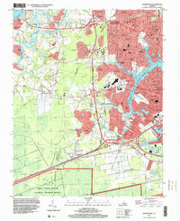 1994 Bowers Hill2000 Print · USGSThe Tidewater region meets the northern reaches of the Great Dismal Swamp in this late-century survey. Genealogists can trace family names and local landmarks like Shoulders Hill, Hodges Ferry, and the Poplar Run Ch Cem.
 - 2011 Map of Bowers Hill, 2011 Print
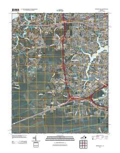 2011 Bowers Hill2011 Print · USGSThe Western Branch of the Elizabeth River meets suburban growth in this early 21st-century portrait of Chesapeake and Portsmouth. Researchers can trace the evolution of old crossroads like Boone and Pughsville or locate Triangle Cemetery and the Hodges Ferry Bridge.
 - 2013 Map of Bowers Hill, 2013 Print
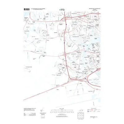 2013 Bowers Hill2013 Print · USGSChesapeake and Suffolk's suburban landscape and tidal waterways are captured here in the early 2010s. Trace the growth of local neighborhoods from Pughsville to Churchland or locate landmarks like Hampton Roads Executive Airport.
 - 2016 Map of Bowers Hill, 2016 Print
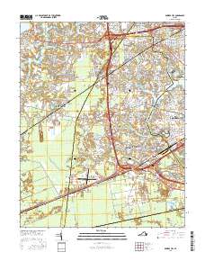 2016 Bowers Hill2016 Print · USGSThe City of Chesapeake and City of Suffolk meet at the edge of the Great Dismal Swamp in this recent survey. Local historians can trace the growth of communities like Pughsville, Jolliff, and Shoulders Hill amidst a landscape of modern highway junctions and airports.
 - 2019 Map of Bowers Hill, 2019 Print
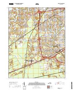 2019 Bowers Hill2019 Print · USGSThe Hampton Roads region enters a period of significant suburban and transit growth in the late twenty-teens. Trace the complex waterways of the Western Branch Elizabeth River and locate local landmarks like Meadowbrook Memorial Gardens and Jolliff.
 - 2022 Map of Bowers Hill, 2022 Print
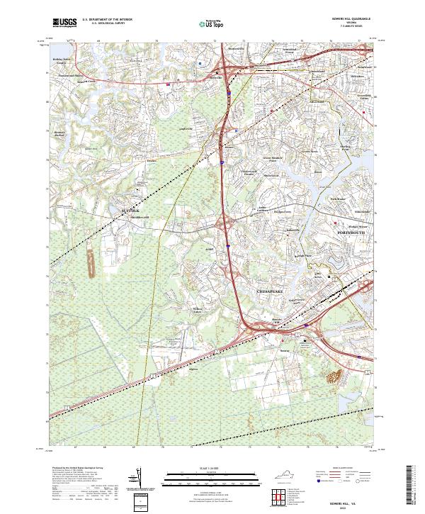 2022 Bowers Hill2022 Print · USGSCoastal Virginia's Tidewater region is shown here in the early twenty-first century, spanning the boundaries of three major cities. Researchers can trace local genealogy and land use through Churchland Baptist Cem, the Suffolk Seaboard Coastline Trl, and Shoulders Hill.
End of results
Showing maps 1-13 of 13
Frequently asked questions
- What are the different types of historical maps available for Colonial Point?
- What is the oldest map of Colonial Point?
- Where can I purchase historical maps of Colonial Point for my home or office?
- Where can I download high-res historical maps of Colonial Point?
- Are there historical topographic maps available for Colonial Point?
- Is there historical aerial imagery available for Colonial Point?
- Where are historical maps of Colonial Point sourced from?