Old Maps of Grassfield, Virginia for Academic Research
Study the evolution of Grassfield with 12 high-resolution historic maps. Whether you're teaching, researching, or modeling changes in land use, these maps provide essential visual documentation of urban, environmental, and geographic change.
- Analyze long-term change: Track patterns in development, transportation, and natural features.
- Ideal for environmental or urban studies: Support academic projects with primary historical map data.
- Use in the classroom or lab: Educators and researchers rely on these maps to bring historical context to life.
These maps are a powerful tool for teaching, research, and visualizing how Grassfield has changed over the decades.
Grassfield, VA maps
(12)- 1907 Map of Norfolk
 1907 Norfolk1907 Print · USGSCoastal Virginia is mapped here at the dawn of the twentieth century, during the bustle of the great Jamestown Exposition. Researchers can trace the early rail-and-canal economy through the Albemarle and Chesapeake Canal, the Navy Yard, and historic outposts like the Cape Henry Light.
 - 1940 Map of Lake Drummond, 1964 Print
 1940 Lake Drummond1964 Print · USGSThe Great Dismal Swamp and its drainage canals are captured here in the 1940s, showing a landscape defined by timber extraction and transit. Genealogists and historians can trace old schools and landings from Jacks Camp to Wallaceton Sch and the Lumber RR.
 - 1945 Map of Lake Drummond
 1945 Lake Drummond1945 Print · USGSThe Dismal Swamp straddles the Virginia-North Carolina line in the 1940s, revealing a landscape defined by timber extraction and historic waterways. Researchers can trace the Intracoastal Waterway, the Lumber RR, and local centers like Wallaceton and Deep Creek.
 - 1953 Map of Norfolk, 1954 Print
 1953 Norfolk1954 Print · USGSCoastal Virginia and northeastern North Carolina appear here during the post-war industrial boom, showing the critical rail-and-sea connections of Hampton Roads. Genealogists can trace family roots through rural landmarks like Gethsemane Ch, the Caledonia State Prison Farm, and the vast interior of the Dismal Swamp.4 unique versions available
 - 1954 Map of Deep Creek, 1956 Print
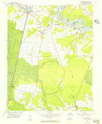 1954 Deep Creek1956 Print · USGSCoastal Virginia in the mid-fifties is defined here by the meeting of the eastern Dismal Swamp and the Intracoastal Waterway. Genealogists and local historians can trace early settlements and family landmarks such as Camden Mills, West Landing, and the Mt Lebanon Ch.3 unique versions available
 - 1977 Map of Deep Creek, 1978 Print
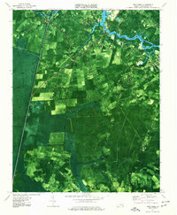 1977 Deep Creek1978 Print · USGSThe Chesapeake area in the late seventies is captured here as suburban growth meets the ancient Great Dismal Swamp. Trace the industrial and social landscape via the Dismal Swamp Canal, St Bethlehem Ch, and the settlement at Great Bridge.2 unique versions available
 - 1985 Map of Norfolk, 1986 Print
 1985 Norfolk1986 Print · USGSThe Tidewater region in the mid-eighties shows the dense urban expansion of the coastal cities alongside the preservation of the Great Dismal Swamp. Researchers can trace rural family-named crossroads and historic transit routes like the Seaboard Coast Line or find Somerton and Lake Drummond.3 unique versions available
 - 2011 Map of Deep Creek, 2011 Print
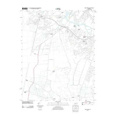 2011 Deep Creek2011 Print · USGSChesapeake and its surrounding settlements are shown in detail during a period of rapid modern expansion. Genealogists and historians can trace family-named sites and landmarks like Good Hope Cemetery, Bells Mill, and the historic Dismal Swamp Canal.
 - 2013 Map of Deep Creek, 2013 Print
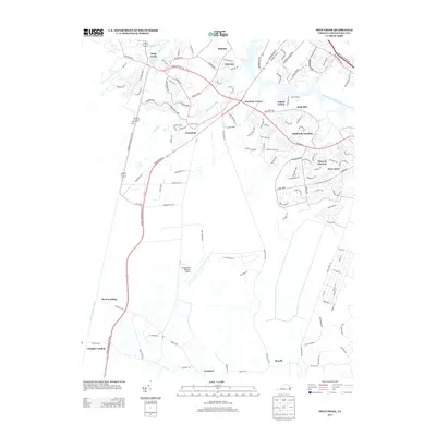 2013 Deep Creek2013 Print · USGSVirginia's southern waterways and expanding residential districts are captured here in the early twenty-first century. Genealogists and historians can trace local development near Dismal Swamp Canal and find landmarks like Bells Mill and Cornland.
 - 2016 Map of Deep Creek, 2016 Print
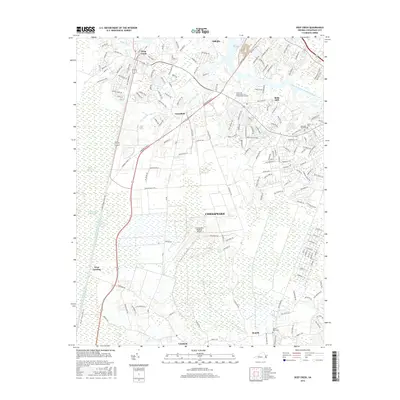 2016 Deep Creek2016 Print · USGSChesapeake and the northern Great Dismal Swamp are shown here in the mid-2010s during a period of sustained suburban growth and infrastructure development. Researchers can trace the path of the Dismal Swamp Canal or find local landmarks like Bells Mill and Good Hope Cem.
 - 2019 Map of Deep Creek, 2019 Print
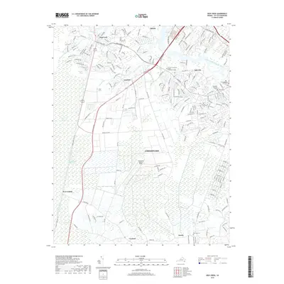 2019 Deep Creek2019 Print · USGSCoastal Virginia's unique wetland and suburban landscape is captured here in the late twenty-teens. Researchers can trace the historic Dismal Swamp Canal and locate family landmarks like Berea Cem and the crossroads at Cornland or Benefit.
 - 2022 Map of Deep Creek, 2022 Print
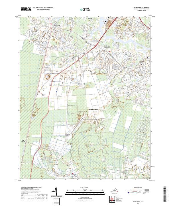 2022 Deep Creek2022 Print · USGSChesapeake and the northern edge of the Great Dismal Swamp are shown here as they appeared in the early 2020s. Researchers can locate family sites like the Sergeant March Corprew Family Cem or trace the historic Dismal Swamp Canal route.
End of results
Showing maps 1-12 of 12
Frequently asked questions
- What are the different types of historical maps available for Grassfield?
- What is the oldest map of Grassfield?
- Where can I purchase historical maps of Grassfield for my home or office?
- Where can I download high-res historical maps of Grassfield?
- Are there historical topographic maps available for Grassfield?
- Is there historical aerial imagery available for Grassfield?
- Where are historical maps of Grassfield sourced from?