Old Maps of Canterbury, Virginia for Hiking & Exploration
Hike through history with 12 historic maps of Canterbury. Explore old trails, ghost towns, and forgotten backroads — perfect for outdoor adventurers and local explorers.
- Rediscover forgotten places: Map out old mining camps, roads, and footpaths that no longer exist on modern maps.
- Layer with modern tools: Combine with LiDAR or satellite views to plan hikes through historical terrain.
- Made for exploration: Popular among hikers, overlanders, and local history lovers.
Use these maps to find adventure and explore the hidden past of Canterbury.
Canterbury, VA maps
(12)- 1892 Map of Gordonsville, 1899 Print
 1892 Gordonsville1899 Print · USGSCentral Virginia’s railway hubs and mountain gaps come alive in this late nineteenth-century survey. Genealogists and historians can trace the foundations of Charlottesville and the bustling rail junctions at Gordonsville and Orange.6 unique versions available
 - 1949 Map of Charlottesville
 1949 Charlottesville1949 Print · USGSThe Shenandoah Valley and Blue Ridge appear in the late 1940s as a thriving corridor of rail and river commerce. Researchers can trace the mid-century footprints of Harrisonburg, Staunton, and Culpeper alongside the historic routes of the Southern Railway.2 unique versions available
 - 1956 Map of Charlottesville, 1966 Print
 1956 Charlottesville1966 Print · USGSThe Shenandoah Valley and Blue Ridge are captured in detail during the mid-1960s as the modern interstate system began to emerge. Genealogists and historians can trace rail-connected hubs like Waynesboro or follow the river paths of the Rapidan River and Rivanna River.4 unique versions available
 - 1961 Map of Rapidan, 1963 Print
 1961 Rapidan1963 Print · USGSMadison and Culpeper Counties during the early sixties show a transition from a traditional mill-based economy to a modern rural landscape. Genealogists can trace family names at Waylands Mill, Achsah, and Thorofare Mtn Chapel along the Piedmont rivers.2 unique versions available
 - 1971 Map of Culpeper West, 1972 Print
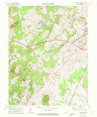 1971 Culpeper West1972 Print · USGSCulpeper and its western mountain fringes are captured here in the early seventies, showing a landscape defined by traditional rail corridors and rural churches. Genealogists can trace family names at Fairview Cem and find local landmarks like Waylands Mill and the Piedmont Vocational Sch.2 unique versions available
 - 1986 Map of Charlottesville
 1986 Charlottesville1986 Print · USGSCentral Virginia in the mid-eighties shows a landscape balanced between the growing city centers of the Piedmont and the protected ridges of the Blue Ridge. Trace the historic rail lines of the Chesapeake and Ohio Railway or locate local landmarks like Monticello Mountain and Bridgewater College.3 unique versions available
 - 1997 Map of Culpeper West, 1999 Print
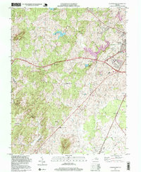 1997 Culpeper West1999 Print · USGSCulpeper and its western rural surroundings are captured in the late 1990s as the town expanded toward the Piedmont hills. Researchers can trace historic settlements and local landmarks like Waylands Mill, Rising Zion Ch, and the tracks of the Southern railroad.
 - 2010 Map of Culpeper West, 2010 Print
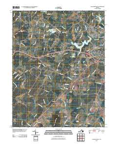 2010 Culpeper West2010 Print · USGSCulpeper and its western reaches are shown in the early twenty-first century, featuring a mix of growing residential estates and older rural landmarks. Researchers can trace family sites at Antioch Cemetery or locate historic hubs like Waylands Mill and Mitchells.
 - 2013 Map of Culpeper West, 2013 Print
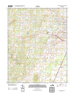 2013 Culpeper West2013 Print · USGSThe western reaches of Culpeper County in the early twenty-first century show a landscape where modern residential growth meets deep-rooted rural outposts. Local historians can trace the development of the Village of Culpeper alongside older points of interest like Waylands Mill and Mitchells.
 - 2016 Map of Culpeper West, 2016 Print
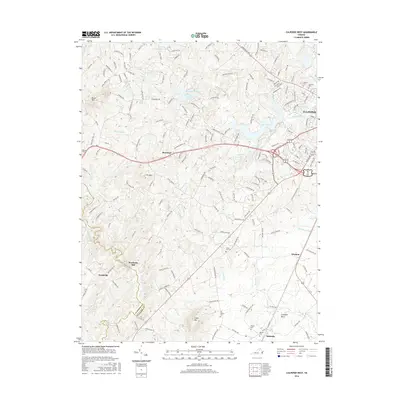 2016 Culpeper West2016 Print · USGSThe Virginia Piedmont west of Culpeper appears in the mid-2010s as a landscape of reservoir lakes and historic rural crossroads. Genealogists and local historians can trace family locations near Waylands Mill, Antioch Cem, and the old settlement of Merrimac.
 - 2019 Map of Culpeper West, 2019 Print
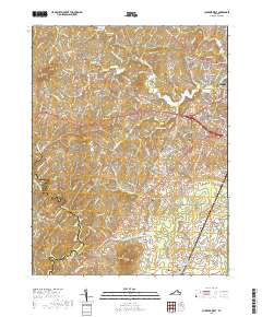 2019 Culpeper West2019 Print · USGSThe western outskirts of Culpeper and the rural Piedmont landscape appear here in recent years. Genealogists and local historians can trace family burial sites like Antioch Cem and Pilgrim Cem or locate the old milling sites at Waylands Mill.
 - 2022 Map of Culpeper West, 2022 Print
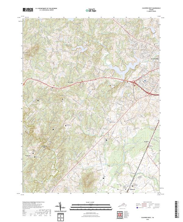 2022 Culpeper West2022 Print · USGSCulpeper County in the early 2020s shows a landscape where growing residential areas meet a long agricultural and family history. Researchers can trace ancestral lines through numerous local sites like Waylands Mill, Mitchells, and the Bushong Hawkins Cem.
End of results
Showing maps 1-12 of 12
Frequently asked questions
- What are the different types of historical maps available for Canterbury?
- What is the oldest map of Canterbury?
- Where can I purchase historical maps of Canterbury for my home or office?
- Where can I download high-res historical maps of Canterbury?
- Are there historical topographic maps available for Canterbury?
- Is there historical aerial imagery available for Canterbury?
- Where are historical maps of Canterbury sourced from?