Old Maps of Rapidan, Virginia for Genealogy
Trace your family roots with 11 historic maps of Rapidan. These high-res maps reveal old neighborhoods, homesites, landmarks, and streets — helping you uncover where your ancestors lived and how the area evolved over time.
- Explore historic neighborhoods: Identify where your relatives may have lived in the 1800s or 1900s.
- Compare maps over time: Trace the changes in streets, buildings, and landmarks for multi-generational research.
- Perfect for genealogy & ancestry research: Used by family historians and researchers to map out lineage and migration.
These maps are an incredible resource for exploring your personal connection to Rapidan's past.
Rapidan, VA maps
(11)- 1892 Map of Gordonsville, 1899 Print
 1892 Gordonsville1899 Print · USGSCentral Virginia’s railway hubs and mountain gaps come alive in this late nineteenth-century survey. Genealogists and historians can trace the foundations of Charlottesville and the bustling rail junctions at Gordonsville and Orange.6 unique versions available
 - 1949 Map of Charlottesville
 1949 Charlottesville1949 Print · USGSThe Shenandoah Valley and Blue Ridge appear in the late 1940s as a thriving corridor of rail and river commerce. Researchers can trace the mid-century footprints of Harrisonburg, Staunton, and Culpeper alongside the historic routes of the Southern Railway.2 unique versions available
 - 1956 Map of Charlottesville, 1966 Print
 1956 Charlottesville1966 Print · USGSThe Shenandoah Valley and Blue Ridge are captured in detail during the mid-1960s as the modern interstate system began to emerge. Genealogists and historians can trace rail-connected hubs like Waynesboro or follow the river paths of the Rapidan River and Rivanna River.4 unique versions available
 - 1961 Map of Rapidan, 1963 Print
 1961 Rapidan1963 Print · USGSMadison and Culpeper Counties during the early sixties show a transition from a traditional mill-based economy to a modern rural landscape. Genealogists can trace family names at Waylands Mill, Achsah, and Thorofare Mtn Chapel along the Piedmont rivers.2 unique versions available
 - 1971 Map of Rapidan, 1972 Print
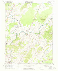 1971 Rapidan1972 Print · USGSOrange and Culpeper Counties meet at the river forks in the early 1970s, showing a landscape defined by the Southern rail line and traditional rural crossroads. Researchers can locate local landmarks like Woodberry Forest Sch, Emmanuel Ch, and the quarries near Buzzard Mountain.2 unique versions available
 - 1986 Map of Charlottesville
 1986 Charlottesville1986 Print · USGSCentral Virginia in the mid-eighties shows a landscape balanced between the growing city centers of the Piedmont and the protected ridges of the Blue Ridge. Trace the historic rail lines of the Chesapeake and Ohio Railway or locate local landmarks like Monticello Mountain and Bridgewater College.3 unique versions available
 - 2010 Map of Rapidan, 2010 Print
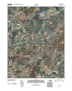 2010 Rapidan2010 Print · USGSThe river valleys of Orange County come into focus during the first decade of the 21st century, centered on the historic confluence of the Rapidan and Robinson Rivers. Researchers can trace family sites near Rapidan, identify small settlements like Trimmers Crossing, and locate local landmarks such as Linden Dam and Emmanuel Cemetery.
 - 2013 Map of Rapidan, 2013 Print
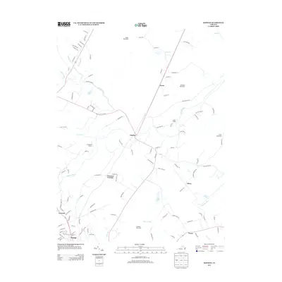 2013 Rapidan2013 Print · USGSIn the early twenty-first century, this area of the Virginia Piedmont remains anchored by the river and mountain peaks. Genealogists and historians can trace the roads connecting Rapidan, Orange, and Clifton, or locate landmarks like Jerdone Mountain and Arrowpoint Airport.
 - 2016 Map of Rapidan, 2016 Print
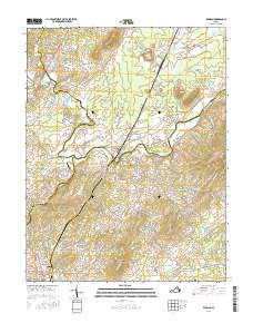 2016 Rapidan2016 Print · USGSThe rural Virginia Piedmont comes into focus in this mid-2010s survey of the river-laced border between Orange and Culpeper counties. Genealogists and local historians can trace the roads connecting Orange to Clifton and find landmarks like Emmanuel Cem and Willis Bridge.
 - 2019 Map of Rapidan, 2019 Print
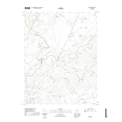 2019 Rapidan2019 Print · USGSThe Piedmont region of Central Virginia is captured here in the late twenty-teens, showing the confluence of several counties along the Rapidan River. Genealogists can trace family landmarks and burial sites including Emmanuel Cem and the small settlement of Nasons.
 - 2022 Map of Rapidan, 2022 Print
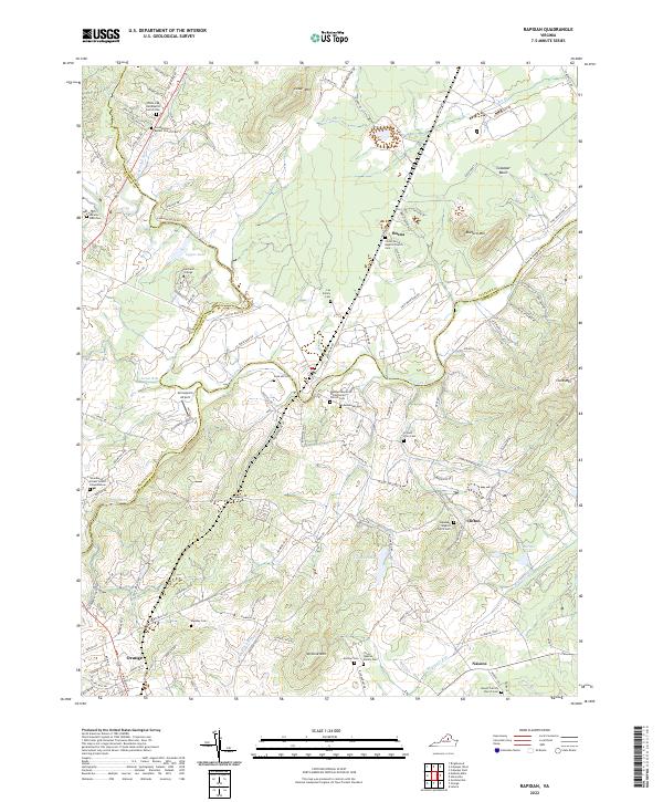 2022 Rapidan2022 Print · USGSThe Piedmont countryside at the meeting of Culpeper and Orange Counties remains a landscape of family legacy and river junctions. Researchers can trace ancestral roots through dozens of local sites like Jerdone Cem, Taylor-Quarles Family Cem, and the Waddell Memorial Presbyterian Church.
End of results
Showing maps 1-11 of 11
Top cities near Rapidan
- Culpeper historical maps
- Orange historical maps
- Gordonsville historical maps
- Brightwood historical maps
- Blue Ridge Shores historical maps
- Madison historical maps
See more
Frequently asked questions
- What are the different types of historical maps available for Rapidan?
- What is the oldest map of Rapidan?
- Where can I purchase historical maps of Rapidan for my home or office?
- Where can I download high-res historical maps of Rapidan?
- Are there historical topographic maps available for Rapidan?
- Is there historical aerial imagery available for Rapidan?
- Where are historical maps of Rapidan sourced from?