2010s Maps of Cumberland County, Virginia
Explore 52 historic maps of Cumberland County from the 2010s. These maps offer a rare glimpse into what life looked like during the 2010s — showing old roads, neighborhoods, homes, and landmarks that have changed or disappeared over time.
Whether you're researching your family's past, planning a metal detecting trip, or studying how Cumberland County's landscape evolved across the 2010s, these high-resolution maps are a powerful tool for exploring the history of this region.
- Focus on a specific era: All maps on this page are from the 2010s, giving you a focused view of this time period.
- See what’s changed: Compare century-old streets, trails, and buildings to today's modern landscape using overlays and satellite layers.
- Research with precision: Use these maps for genealogy, historical research, land use analysis, or educational projects.
- View, download, or print: Maps are fully viewable online in high resolution, and can be downloaded or printed for your own records.
Start exploring Cumberland County's history through authentic maps from the 2010s. This is your window into the past.
Cumberland County, VA maps
(52)- 2010 Map of Cartersville, 2010 Print
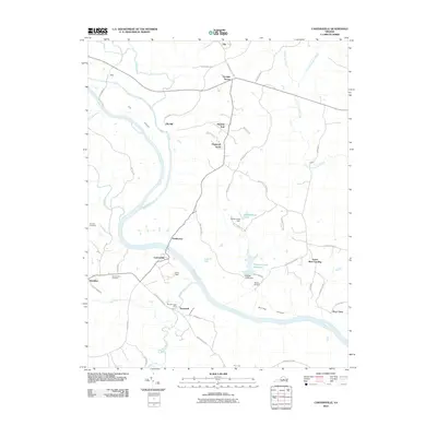 2010 Cartersville2010 Print · USGSGoochland and Cumberland counties meet along the James River in this 2010 survey of the Virginia interior. Researchers can trace rural heritage through sites like Muddy Creek Mills, Harrison Cemetery, and the riverfront settlement of Cartersville.
 - 2010 Map of Lakeside Village, 2010 Print
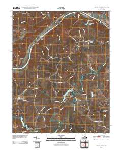 2010 Lakeside Village2010 Print · USGSFluvanna County's riverfront and rural interior are captured here in the early twenty-first century as the landscape transitioned toward recreation and residential life. Researchers can locate family landmarks like Little Fork Cemetery or trace the water systems of Trice Lake and Trenton Mills.
 - 2010 Map of Hillcrest, 2010 Print
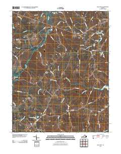 2010 Hillcrest2010 Print · USGSCumberland County at the start of the decade reveals a rural landscape defined by the Willis River and family-held land. Genealogists and local historians can trace legacy sites like Guinea Mills, Antioch Cemetery, and the crossroads of Cotton Town.
 - 2010 Map of Deatonville, 2010 Print
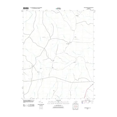 2010 Deatonville2010 Print · USGSAmelia County’s rural character is preserved in this study of the landscape near the turn of the decade. Genealogists and local historians can trace legacy sites like Pilgrim Cemetery, the Southall Cemetery, and the community of Deatonville.
 - 2010 Map of Gold Hill, 2010 Print
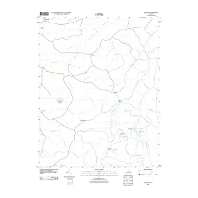 2010 Gold Hill2010 Print · USGSCumberland County’s rural landscape is captured here in the early twenty-first century, showcasing a network of historic river-valley settlements. Researchers can trace family sites near Trents Mill, Gold Hill, and Nuckols, or locate the Cornerstone Cemetery and County Cemetery.
 - 2010 Map of Cumberland, 2010 Print
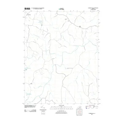 2010 Cumberland2010 Print · USGSCumberland County at the start of the 2010s remains a landscape of traditional river settlements and family-named landmarks. Researchers can trace the heritage of the Appomattox River valley through sites like Stony Point Mills, Grove Cemetery, and Doctor W B Blanton Pond.
 - 2010 Map of Whiteville, 2010 Print
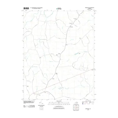 2010 Whiteville2010 Print · USGSCumberland County, Virginia, is shown in the early twenty-first century as a rural landscape shaped by its many creeks and family homesteads. Researchers can locate numerous family burial grounds like Meador Cemetery or trace the rails near Grays Siding.
 - 2010 Map of Farmville, 2010 Print
 2010 Farmville2010 Print · USGSFarmville and the surrounding Prince Edward County countryside are captured here in the early twenty-first century, centered on the Appomattox River. Researchers can locate historic burial sites like the Confederate Cemetery and trace the outskirts near Tuggle and Raines Tavern.
 - 2010 Map of Rice, 2010 Print
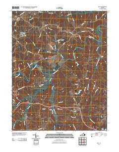 2010 Rice2010 Print · USGSThe Appomattox River valley in Prince Edward County comes into focus in the early 2000s, centered on the landmark High Bridge. Researchers can trace old family footprints through numerous local burial grounds like Pisgah Cemetery and High Bridge Cemetery.
 - 2010 Map of Willis Mountain, 2010 Print
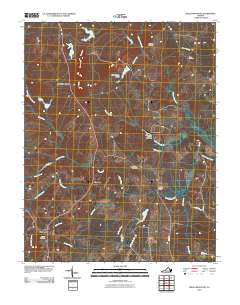 2010 Willis Mountain2010 Print · USGSBuckingham County, Virginia, is shown in the early twenty-first century as a landscape of rural crossroads and river valleys. Genealogists can trace family locations near Smyrna Cemetery or Curdsville, while landmarks like Willis Mountain and Dobsons Bridge anchor the local geography.
 - 2010 Map of Arvonia, 2010 Print
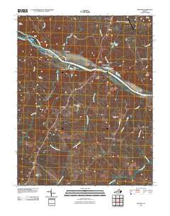 2010 Arvonia2010 Print · USGSBuckingham County at the start of the decade reveals a landscape shaped by the James River and its industrial crossings. Researchers can locate family burial sites like Grace Cemetery and trace local hamlets such as Arvonia, Shores, and Gilliamsville.
 - 2010 Map of Ballsville, 2010 Print
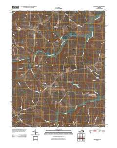 2010 Ballsville2010 Print · USGSAmelia County as it appeared in the early 21st century remains a landscape of quiet crossroads and historic river bends. Researchers can trace ancestral locations near Clementown Mills and Lodore, or locate family plots at Piedmont Cemetery.
 - 2010 Map of Trenholm, 2010 Print
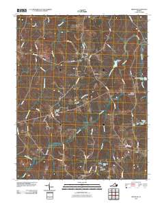 2010 Trenholm2010 Print · USGSPowhatan County at the turn of the decade reveals a landscape of enduring rural crossroads and named creek valleys. Researchers can trace historic local routes like Old Tavern Rd and Frenchs Store Rd while locating landmarks such as Bevins Pond and the settlement at Ballsville.
 - 2013 Map of Arvonia, 2013 Print
 2013 Arvonia2013 Print · USGSBuckingham County's river-linked communities come into focus in this early twenty-first-century survey of the James and Slate River confluence. Researchers can trace the layout of Arvonia, Bremo Bluff, and LeSueur alongside local landmarks like the John H. Cocke Memorial Bridge.
 - 2013 Map of Ballsville, 2013 Print
 2013 Ballsville2013 Print · USGSAmelia County’s rural riverfront comes to life in the early twenty-first century as the Appomattox River carves through a landscape of historic crossroads. Trace the locations of long-standing communities like Clementown Mills, Tobaccoville, and Lodore.
 - 2013 Map of Hillcrest, 2013 Print
 2013 Hillcrest2013 Print · USGSCumberland County’s rural interior is documented in this early 21st-century survey of the Piedmont landscape. Genealogists and local historians can locate small crossroads such as Guinea Mills, Ca Ira, and the Amos Dairy Farm along with the tributaries of the Willis River.
 - 2013 Map of Rice, 2013 Print
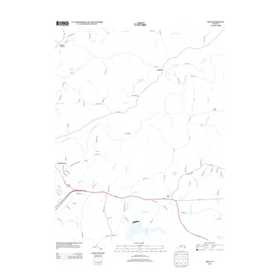 2013 Rice2013 Print · USGSThe rural landscape east of Farmville is captured here in the early 2000s, centered on the vital crossings of the Appomattox. Researchers can trace historic river points and local settlements like High Bridge, Raines Tavern, and Rice.
 - 2013 Map of Cartersville, 2013 Print
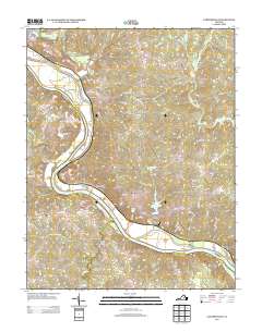 2013 Cartersville2013 Print · USGSCartersville and the surrounding river country are documented here in the early twenty-first century as the James River winds past historical landmarks. Researchers can trace the layout of Cartersville, the site of Muddy Creek Mills, and the large expanse of Elk Island.
 - 2013 Map of Whiteville, 2013 Print
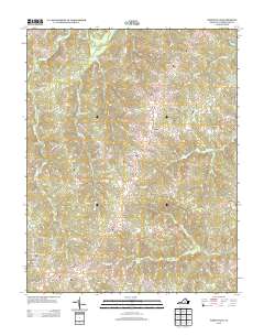 2013 Whiteville2013 Print · USGSCumberland County’s central forest and farmland are captured here in the early twenty-first century, showing a landscape shaped by the Willis River and local creeks. Genealogists and local historians can locate legacy sites like Grays Siding, Oak Forest, and the small community of Ashby.
 - 2013 Map of Farmville, 2013 Print
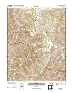 2013 Farmville2013 Print · USGSThe town of Farmville and its surrounding Prince Edward County landscapes are captured here in the early twenty-first century. Researchers can trace the development of Farmville near the Appomattox River or locate outlying points like Raines Tavern and Tuggle.
 - 2013 Map of Gold Hill, 2013 Print
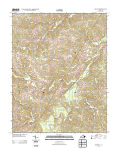 2013 Gold Hill2013 Print · USGSCumberland County’s wooded Piedmont comes alive in this modern survey of rural settlements and state forests. Researchers can trace family-named roads and community centers from Trents Mill and Union Hill to the shores of Bear Creek Lake.
 - 2013 Map of Willis Mountain, 2013 Print
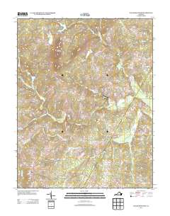 2013 Willis Mountain2013 Print · USGSBuckingham County maintains its rural character in the early twenty-first century, centered on the prominent landmark of Willis Mountain. Genealogists and local historians can trace the roads and waterways connecting the settlements of Curdsville, Sheppards, and Pleasant Valley.
 - 2013 Map of Deatonville, 2013 Print
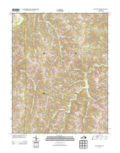 2013 Deatonville2013 Print · USGSAmelia County as it appeared in the early 2010s shows a landscape still deeply rooted in its rural crossroads and river-fed geography. Genealogists and researchers can trace the vicinity of Deatonville and Gills or follow old routes like Morrissetts Mill Rd.
 - 2013 Map of Cumberland, 2013 Print
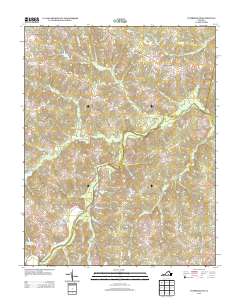 2013 Cumberland2013 Print · USGSCumberland County at the start of the 2010s reveals a landscape of enduring rural settlements and historic mill sites. Genealogists and researchers can trace local landmarks like Stony Point Mills, Doctor W B Blanton Pond, and the various branches of Little Guinea Cr.
 - 2013 Map of Lakeside Village, 2013 Print
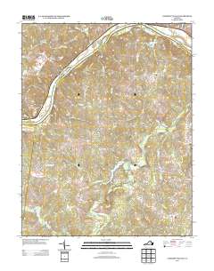 2013 Lakeside Village2013 Print · USGSThe rural Virginia Piedmont south of Columbia comes into focus in this modern era, showing a landscape defined by the James River and the Willis River. Researchers can locate family-named features and small hubs like Lakeside Village, Trenton Mills, and Stearnes.
Showing maps 1-25 of 52
Top cities of Cumberland County
Frequently asked questions
- What are the different types of historical maps available for Cumberland County?
- What is the oldest map of Cumberland County?
- Where can I purchase historical maps of Cumberland County for my home or office?
- Where can I download high-res historical maps of Cumberland County?
- Are there historical topographic maps available for Cumberland County?
- Is there historical aerial imagery available for Cumberland County?
- Where are historical maps of Cumberland County sourced from?