Old Maps of Bealeton, Virginia
Explore 25 old maps of Bealeton, spanning from 1894 to today. These high-resolution historic maps reveal how streets, neighborhoods, landmarks, and natural features evolved over time — perfect for genealogy, metal detecting, research, and local history exploration.
What you can do with these maps:
- See how Bealeton changed over time: Compare historical maps to modern-day views to trace roads, homesites, rail lines & more.
- View detailed metadata: Each map includes creators, publishers, year, scale, and archive source.
- Overlay maps with satellite & LiDAR: Visualize the past alongside modern tools to explore terrain & human change.
- Trusted historical sources: Maps sourced from the USGS, Library of Congress, and other archives.
- Access maps your way: View online, download high-res files, or order prints for personal or research use.
Start exploring old maps of Bealeton to uncover forgotten places, hidden landmarks, and the deep history beneath your feet.
Bealeton, VA maps
(25)- 1894 Map of Warrenton
 1894 Warrenton1894 Print · USGSVirginia's northern Piedmont and mountain gaps are mapped here in the late nineteenth century as the rail-and-river economy flourished. Genealogists can trace family names and small crossroads from Warrenton and Brentsville to White Sulphur Springs.9 unique versions available
 - 1894 Map of Warrenton, 1897 Print
 1894 Warrenton1897 Print · USGSFauquier County and its neighbors are documented here in the late nineteenth century, showing a landscape defined by the Bull Run Mountains and the Rappahannock. Genealogists and historians can trace old homesteads and transport hubs like Warrenton, Thorofare Gap, and Sudley Spring.
 - 1927 Map of Remington
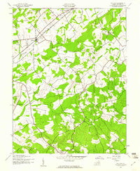
 1927 Remington1927 Print · USGSFauquier and Culpeper counties appear here in the late twenties, captured as a landscape of river-bottom farms and rail towns. Genealogists can trace family footprints at Fauquier Sulphur Springs, Westley Chapel, and the Luttrell Sch.4 unique versions available
 - 1930 Map of Warrenton
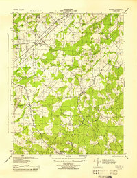
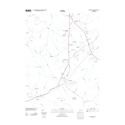
 1930 Warrenton1930 Print · USGSFauquier and Culpeper counties are captured here in the late twenties, showing a rural landscape organized around the Southern railroad and the Rappahannock River. Researchers can trace old school districts and river crossings like Hinson Ford and Litchfield Sch.2 unique versions available
 - 1943 Map of Catlett, 1955 Print
 1943 Catlett1955 Print · USGSMid-century Fauquier and Prince William counties center on the Southern Railway as it links rural hubs and farming estates. Genealogists can trace family footprints across dozens of local landmarks, from Vint Hill Farm to Dunkard Church and Balls Mill.2 unique versions available
 - 1943 Map of Midland, 1961 Print
 1943 Midland1961 Print · USGSMid-century Fauquier County comes to life during the war years, centered on the railroad crossing at Midland. Genealogists and historians can trace the rural landscape through family-connected sites like Mt Pleasant Sch, Elkrun, and Crossroad Ch.
 - 1944 Map of Midland
 1944 Midland1944 Print · USGSMidland and the surrounding Fauquier County countryside are captured here during the mid-1940s as a landscape of rural crossroads and rail sidings. Genealogists and local historians can trace the exact locations of Mt Carmel Ch, Morrisville, and the Southern Railway line.
 - 1948 Map of Washington
 1948 Washington1948 Print · USGSThe Potomac and Chesapeake regions in the late 1940s reveal a landscape of expanding military reach and deep-rooted Tidewater settlements. Trace old rail corridors like the Richmond Fredericksburg & Potomac RR or locate landmarks like the Wakefield Washington Monument and St. Marys College.2 unique versions available
 - 1957 Map of Washington, 1966 Print
 1957 Washington1966 Print · USGSThe mid-Atlantic region during the mid-fifties and early sixties reveals a landscape of growing suburbs and vital military outposts. Researchers can trace historic river towns and shorelines from Alexandria to the Hooper Islands and St Clements Island.5 unique versions available
 - 1961 Map of Washington
 1961 Washington1961 Print · USGSThe mid-Atlantic region in the late fifties is presented in remarkable detail, from the Blue Ridge foothills to the Chesapeake Eastern Shore. Researchers can trace historic river landings and military sites like Mount Vernon, Fort Belvoir, and Point Lookout.2 unique versions available
 - 1966 Map of Remington, 1969 Print
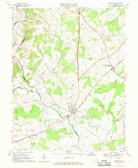 1966 Remington1969 Print · USGSThe Rappahannock River border between Fauquier and Culpeper counties comes alive in this mid-sixties survey. Researchers can trace rural lineages through local landmarks like Cedar Grove Cem, Payne Sch, and the depot at Remington.4 unique versions available
 - 1967 Map of Midland, 1969 Print
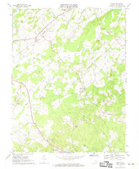 1967 Midland1969 Print · USGSMidland and the surrounding Fauquier County countryside are captured here in the late sixties as the rail-and-creek economy still defined the area. Genealogists can locate family landmarks like the John Marshall Birthplace, Ensors Shop, and the Franklin Mine.3 unique versions available
 - 1982 Map of Washington West, 1983 Print
 1982 Washington West1983 Print · USGSThe Virginia and Maryland suburbs were undergoing intense development in the early eighties as the capital region expanded outward. Researchers can trace the footprint of Cold War-era defense sites like Fort Belvoir and Vint Hill Farms Station alongside growing academic centers like George Mason University.
 - 1986 Map of Washington West
 1986 Washington West1986 Print · USGSNorthern Virginia and the D.C. metro area are captured here in the mid-eighties as suburban growth began to meet rural Fauquier County. Trace the development of the corridor from Alexandria out to Dulles and the preserved lands of Prince William Forest Park.2 unique versions available
 - 1989 Map of Washington
 1989 Washington1989 Print · USGSThe Potomac River valley and Chesapeake Bay are shown in comprehensive detail during the late 1980s. Genealogists and historians can trace the transition from urban Alexandria to the rural Northern Neck, locating landmarks like Mount Vernon and Stratford Hall.
 - 2010 Map of Remington, 2010 Print
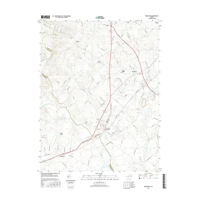
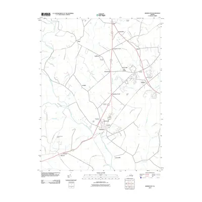 2010 Remington2010 Print · USGSCovers Bealeton, including Remington, Opal, and other nearby areas
 - 2010 Map of Midland, 2010 Print
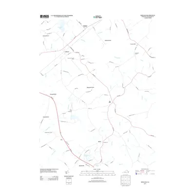
 2010 Midland2010 Print · USGSCovers Bealeton, including Midland, Weimertown, and other nearby areas
 - 2013 Map of Midland, 2013 Print
 2013 Midland2013 Print · USGSCovers Bealeton, including Midland, Weimertown, and other nearby areas
 - 2013 Map of Remington, 2013 Print
 2013 Remington2013 Print · USGSCovers Bealeton, including Remington, Opal, and other nearby areas
 - 2016 Map of Remington, 2016 Print
 2016 Remington2016 Print · USGSCovers Bealeton, including Remington, Opal, and other nearby areas
 - 2016 Map of Midland, 2016 Print
 2016 Midland2016 Print · USGSCovers Bealeton, including Midland, Weimertown, and other nearby areas
 - 2019 Map of Remington, 2019 Print
 2019 Remington2019 Print · USGSCovers Bealeton, including Remington, Opal, and other nearby areas
 - 2019 Map of Midland, 2019 Print
 2019 Midland2019 Print · USGSCovers Bealeton, including Midland, Weimertown, and other nearby areas
 - 2022 Map of Remington, 2022 Print
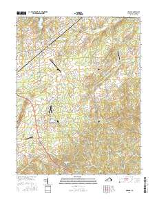
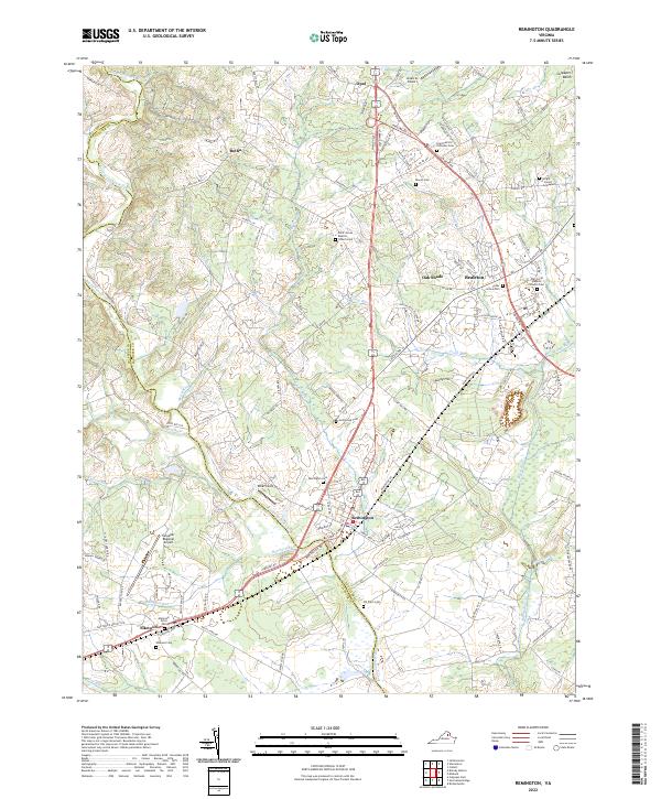 2022 Remington2022 Print · USGSThe Fauquier and Culpeper county line is traced by the Rappahannock River in this recent survey of Northern Virginia’s horse country and rural corridors. Genealogists and local historians can locate numerous family and church burial sites, including the Hollywood Cem, Saint Patrick Orthodox Cem, and the Wright James Graveyard.
 - 2022 Map of Midland, 2022 Print
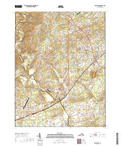
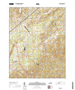
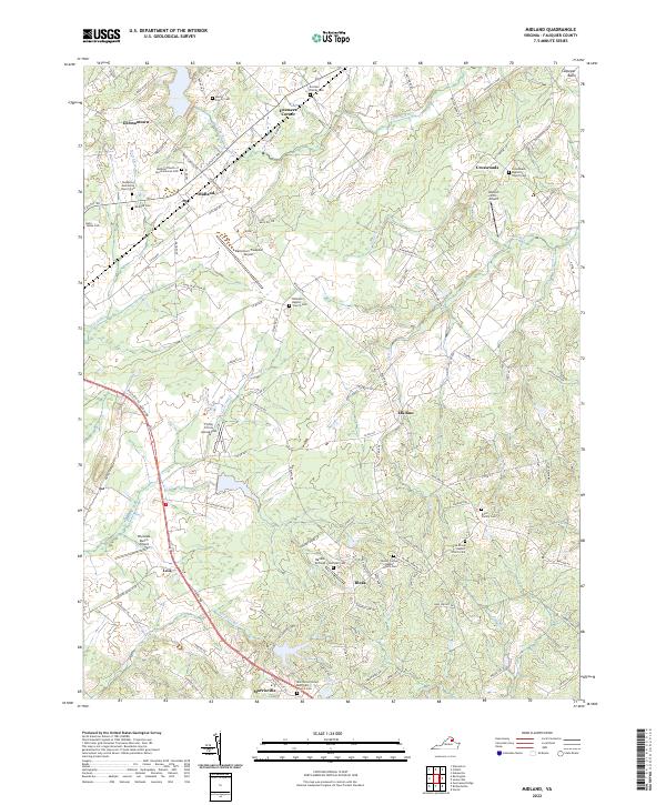 2022 Midland2022 Print · USGSMidland and the surrounding Fauquier County countryside are shown here in the early twenty-first century, characterized by rural aviation and deep-rooted family history. Researchers can trace ancestral sites like the Eustace Family Cem and Martin Family Cem or visit the Flying Circus Aerodrome.
End of results
Showing maps 1-25 of 25
Top cities near Bealeton
- Linton Hall historical maps
- Culpeper historical maps
- Gainesville historical maps
- Warrenton historical maps
- Nokesville historical maps
- Haymarket historical maps
See more
Frequently asked questions
- What are the different types of historical maps available for Bealeton?
- What is the oldest map of Bealeton?
- Where can I purchase historical maps of Bealeton for my home or office?
- Where can I download high-res historical maps of Bealeton?
- Are there historical topographic maps available for Bealeton?
- Is there historical aerial imagery available for Bealeton?
- Where are historical maps of Bealeton sourced from?