Old Maps of Fredericksburg, Virginia for Academic Research
Study the evolution of Fredericksburg with 23 high-resolution historic maps. Whether you're teaching, researching, or modeling changes in land use, these maps provide essential visual documentation of urban, environmental, and geographic change.
- Analyze long-term change: Track patterns in development, transportation, and natural features.
- Ideal for environmental or urban studies: Support academic projects with primary historical map data.
- Use in the classroom or lab: Educators and researchers rely on these maps to bring historical context to life.
These maps are a powerful tool for teaching, research, and visualizing how Fredericksburg has changed over the decades.
Fredericksburg, VA maps
(23)- 1887 Map of Spottsylvania
 1887 Spottsylvania1887 Print · USGSCovers Fredericksburg, including Culpeper, Lake of the Woods, and other nearby areas
 - 1889 Map of Fredericksburg
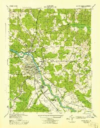
 1889 Fredericksburg1889 Print · USGSCovers Fredericksburg, including Stafford, King George, and other nearby areas
 - 1892 Map of Fredericksburg
 1892 Fredericksburg1892 Print · USGSCovers Fredericksburg, including Stafford, King George, and other nearby areas
 - 1892 Map of Spottsylvania
 1892 Spottsylvania1892 Print · USGSCovers Fredericksburg, including Culpeper, Lake of the Woods, and other nearby areas6 unique versions available
 - 1894 Map of Fredericksburg
 1894 Fredericksburg1894 Print · USGSCovers Fredericksburg, including Stafford, King George, and other nearby areas10 unique versions available
 - 1926 Map of Stafford, 1956 Print
 1926 Stafford1956 Print · USGSCovers Fredericksburg, including Stafford, Falmouth, and other nearby areas
 - 1931 Map of Stafford
 1931 Stafford1931 Print · USGSCovers Fredericksburg, including Stafford, Falmouth, and other nearby areas
 - 1943 Map of Salem Church, 1961 Print
 1943 Salem Church1961 Print · USGSCovers Fredericksburg, including Spotsylvania County, Culpeper County, and other nearby areas
 - 1943 Map of Fredericksburg, 1961 Print
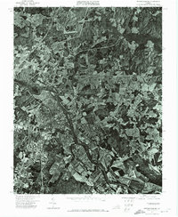
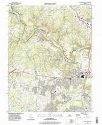
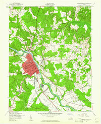 1943 Fredericksburg1961 Print · USGSCovers Fredericksburg, including Falmouth, Southern Gateway, and other nearby areas
 - 1944 Map of Salem Church
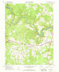
 1944 Salem Church1944 Print · USGSCovers Fredericksburg, including Spotsylvania County, Culpeper County, and other nearby areas
 - 1944 Map of Fredericksburg
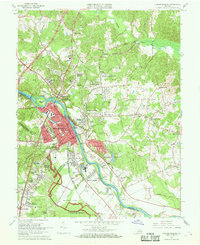
 1944 Fredericksburg1944 Print · USGSCovers Fredericksburg, including Falmouth, Southern Gateway, and other nearby areas
 - 1948 Map of Washington
 1948 Washington1948 Print · USGSCovers Fredericksburg, including Washington, Arlington, and other nearby areas2 unique versions available
 - 1957 Map of Washington, 1966 Print
 1957 Washington1966 Print · USGSCovers Fredericksburg, including Washington, Arlington, and other nearby areas5 unique versions available
 - 1961 Map of Washington
 1961 Washington1961 Print · USGSCovers Fredericksburg, including Washington, Arlington, and other nearby areas2 unique versions available
 - 1966 Map of Salem Church, 1968 Print
 1966 Salem Church1968 Print · USGSCovers Fredericksburg, including Spotsylvania County, Culpeper County, and other nearby areas5 unique versions available
 - 1966 Map of Fredericksburg, 1968 Print
 1966 Fredericksburg1968 Print · USGSCovers Fredericksburg, including Falmouth, Southern Gateway, and other nearby areas5 unique versions available
 - 1972 Map of Fredericksburg, 1974 Print
 1972 Fredericksburg1974 Print · USGSCovers Fredericksburg, including Falmouth, Southern Gateway, and other nearby areas
 - 1983 Map of Fredericksburg, 1984 Print
 1983 Fredericksburg1984 Print · USGSCovers Fredericksburg, including Stafford, Culpeper, and other nearby areas2 unique versions available
 - 1989 Map of Washington
 1989 Washington1989 Print · USGSCovers Fredericksburg, including Washington, Arlington, and other nearby areas
 - 1994 Map of Fredericksburg, 1997 Print
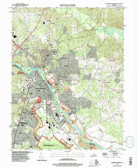 1994 Fredericksburg1997 Print · USGSCovers Fredericksburg, including Falmouth, Southern Gateway, and other nearby areas
 - 1994 Map of Salem Church, 1997 Print
 1994 Salem Church1997 Print · USGSCovers Fredericksburg, including Spotsylvania County, Culpeper County, and other nearby areas
 - 2022 Map of Fredericksburg, 2022 Print
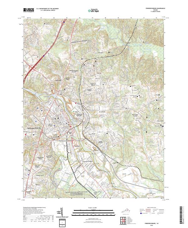 2022 Fredericksburg2022 Print · USGSCovers Fredericksburg, including Falmouth, Southern Gateway, and other nearby areas
 - 2022 Map of Salem Church, 2022 Print
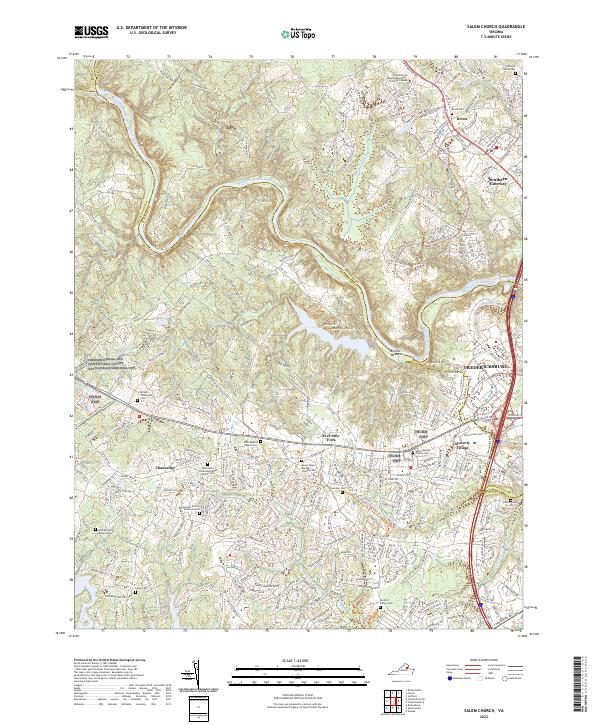 2022 Salem Church2022 Print · USGSCovers Fredericksburg, including Spotsylvania County, Culpeper County, and other nearby areas
End of results
Showing maps 1-23 of 23
Top cities of Fredericksburg
Frequently asked questions
- What are the different types of historical maps available for Fredericksburg?
- What is the oldest map of Fredericksburg?
- Where can I purchase historical maps of Fredericksburg for my home or office?
- Where can I download high-res historical maps of Fredericksburg?
- Are there historical topographic maps available for Fredericksburg?
- Is there historical aerial imagery available for Fredericksburg?
- Where are historical maps of Fredericksburg sourced from?