Old Maps of Fredericksburg, Virginia for Metal Detecting
Plan your next treasure hunt with 23 historic maps of Fredericksburg. Find old homesites, ghost towns, trails, and gathering spots that may be lost to time — perfect for identifying promising metal detecting locations.
- Locate forgotten sites: Uncover places like long-lost settlements, abandoned rail lines, or gathering spots.
- Plan better hunts: Use map overlays combined with LiDAR or satellite views to narrow in on historically rich areas.
- Made for detectorists: Thousands of hobbyists use these maps to discover relics, coins, and hidden history.
Use these historic maps to boost your research and find new opportunities beneath the surface of Fredericksburg.
Fredericksburg, VA maps
(23)- 1887 Map of Spottsylvania
 1887 Spottsylvania1887 Print · USGSCovers Fredericksburg, including Culpeper, Lake of the Woods, and other nearby areas
 - 1889 Map of Fredericksburg
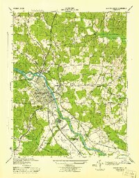
 1889 Fredericksburg1889 Print · USGSCovers Fredericksburg, including Stafford, King George, and other nearby areas
 - 1892 Map of Fredericksburg
 1892 Fredericksburg1892 Print · USGSCovers Fredericksburg, including Stafford, King George, and other nearby areas
 - 1892 Map of Spottsylvania
 1892 Spottsylvania1892 Print · USGSCovers Fredericksburg, including Culpeper, Lake of the Woods, and other nearby areas6 unique versions available
 - 1894 Map of Fredericksburg
 1894 Fredericksburg1894 Print · USGSCovers Fredericksburg, including Stafford, King George, and other nearby areas10 unique versions available
 - 1926 Map of Stafford, 1956 Print
 1926 Stafford1956 Print · USGSCovers Fredericksburg, including Stafford, Falmouth, and other nearby areas
 - 1931 Map of Stafford
 1931 Stafford1931 Print · USGSCovers Fredericksburg, including Stafford, Falmouth, and other nearby areas
 - 1943 Map of Salem Church, 1961 Print
 1943 Salem Church1961 Print · USGSCovers Fredericksburg, including Spotsylvania County, Culpeper County, and other nearby areas
 - 1943 Map of Fredericksburg, 1961 Print
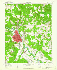 1943 Fredericksburg1961 Print · USGSCovers Fredericksburg, including Falmouth, Southern Gateway, and other nearby areas
 - 1944 Map of Salem Church
 1944 Salem Church1944 Print · USGSCovers Fredericksburg, including Spotsylvania County, Culpeper County, and other nearby areas
 - 1944 Map of Fredericksburg
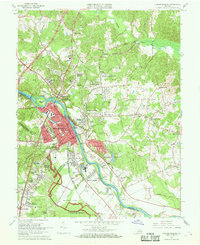
 1944 Fredericksburg1944 Print · USGSCovers Fredericksburg, including Falmouth, Southern Gateway, and other nearby areas
 - 1948 Map of Washington
 1948 Washington1948 Print · USGSCovers Fredericksburg, including Washington, Arlington, and other nearby areas2 unique versions available
 - 1957 Map of Washington, 1966 Print
 1957 Washington1966 Print · USGSCovers Fredericksburg, including Washington, Arlington, and other nearby areas5 unique versions available
 - 1961 Map of Washington
 1961 Washington1961 Print · USGSCovers Fredericksburg, including Washington, Arlington, and other nearby areas2 unique versions available
 - 1966 Map of Salem Church, 1968 Print
 1966 Salem Church1968 Print · USGSCovers Fredericksburg, including Spotsylvania County, Culpeper County, and other nearby areas5 unique versions available
 - 1966 Map of Fredericksburg, 1968 Print
 1966 Fredericksburg1968 Print · USGSCovers Fredericksburg, including Falmouth, Southern Gateway, and other nearby areas5 unique versions available
 - 1972 Map of Fredericksburg, 1974 Print
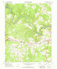
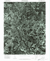 1972 Fredericksburg1974 Print · USGSCovers Fredericksburg, including Falmouth, Southern Gateway, and other nearby areas
 - 1983 Map of Fredericksburg, 1984 Print
 1983 Fredericksburg1984 Print · USGSCovers Fredericksburg, including Stafford, Culpeper, and other nearby areas2 unique versions available
 - 1989 Map of Washington
 1989 Washington1989 Print · USGSCovers Fredericksburg, including Washington, Arlington, and other nearby areas
 - 1994 Map of Fredericksburg, 1997 Print
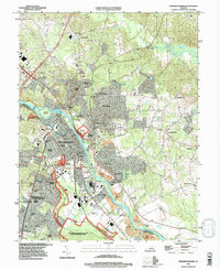 1994 Fredericksburg1997 Print · USGSCovers Fredericksburg, including Falmouth, Southern Gateway, and other nearby areas
 - 1994 Map of Salem Church, 1997 Print
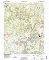 1994 Salem Church1997 Print · USGSCovers Fredericksburg, including Spotsylvania County, Culpeper County, and other nearby areas
 - 2022 Map of Fredericksburg, 2022 Print
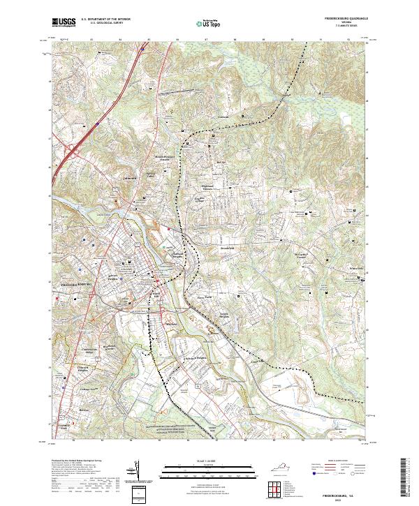 2022 Fredericksburg2022 Print · USGSCovers Fredericksburg, including Falmouth, Southern Gateway, and other nearby areas
 - 2022 Map of Salem Church, 2022 Print
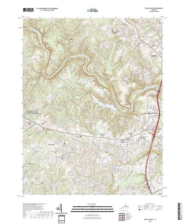 2022 Salem Church2022 Print · USGSCovers Fredericksburg, including Spotsylvania County, Culpeper County, and other nearby areas
End of results
Showing maps 1-23 of 23
Top cities of Fredericksburg
Frequently asked questions
- What are the different types of historical maps available for Fredericksburg?
- What is the oldest map of Fredericksburg?
- Where can I purchase historical maps of Fredericksburg for my home or office?
- Where can I download high-res historical maps of Fredericksburg?
- Are there historical topographic maps available for Fredericksburg?
- Is there historical aerial imagery available for Fredericksburg?
- Where are historical maps of Fredericksburg sourced from?