2000s (21st Century) Maps of Rich Creek, Virginia
Explore 10 historic maps of Rich Creek from the 2000s (21st Century). These maps offer a rare glimpse into what life looked like during the 2000s — showing old roads, neighborhoods, homes, and landmarks that have changed or disappeared over time.
Whether you're researching your family's past, planning a metal detecting trip, or studying how Rich Creek's landscape evolved across the 2000s, these high-resolution maps are a powerful tool for exploring the history of this region.
- Focus on a specific era: All maps on this page are from the 2000s, giving you a focused view of this time period.
- See what’s changed: Compare century-old streets, trails, and buildings to today's modern landscape using overlays and satellite layers.
- Research with precision: Use these maps for genealogy, historical research, land use analysis, or educational projects.
- View, download, or print: Maps are fully viewable online in high resolution, and can be downloaded or printed for your own records.
Start exploring Rich Creek's history through authentic maps from the 2000s. This is your window into the past.
Rich Creek, VA maps
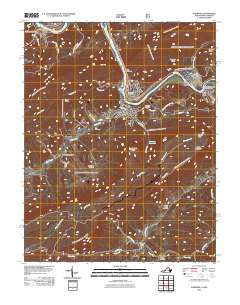
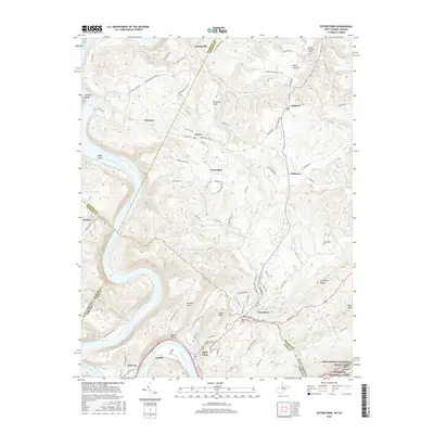
(10)- 2011 Map of Peterstown, 2011 Print
 2011 Peterstown2011 Print · USGSCovers Rich Creek, including Peterstown, Glen Lyn, and other nearby areas
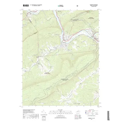
 - 2011 Map of Narrows, 2011 Print
 2011 Narrows2011 Print · USGSCovers Rich Creek, including Pearisburg, Narrows, and other nearby areas
 - 2013 Map of Narrows, 2013 Print
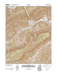 2013 Narrows2013 Print · USGSCovers Rich Creek, including Pearisburg, Narrows, and other nearby areas
 - 2014 Map of Peterstown, 2014 Print
 2014 Peterstown2014 Print · USGSCovers Rich Creek, including Peterstown, Glen Lyn, and other nearby areas
 - 2016 Map of Narrows, 2016 Print
 2016 Narrows2016 Print · USGSCovers Rich Creek, including Pearisburg, Narrows, and other nearby areas
 - 2016 Map of Peterstown, 2016 Print
 2016 Peterstown2016 Print · USGSCovers Rich Creek, including Peterstown, Glen Lyn, and other nearby areas
 - 2019 Map of Narrows, 2019 Print
 2019 Narrows2019 Print · USGSCovers Rich Creek, including Pearisburg, Narrows, and other nearby areas
 - 2019 Map of Peterstown, 2019 Print
 2019 Peterstown2019 Print · USGSCovers Rich Creek, including Peterstown, Glen Lyn, and other nearby areas
 - 2022 Map of Narrows, 2022 Print
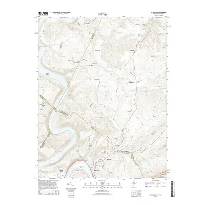
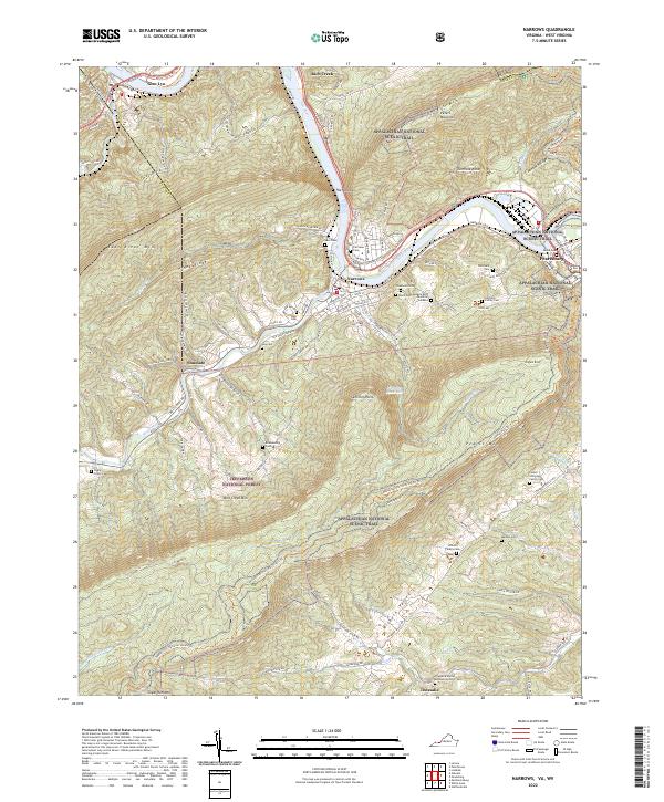 2022 Narrows2022 Print · USGSGiles County, Virginia, is shown in the early 2020s as the New River cuts between massive ridgelines. Genealogists and hikers can trace the Appalachian National Scenic Trail past remote family plots like Woolwine Cem and Fletcher's Cem.
 - 2023 Map of Peterstown, 2023 Print
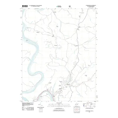
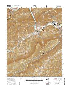
 2023 Peterstown2023 Print · USGSThe West Virginia-Virginia borderlands near Peterstown are mapped here in the early twenty-first century, showing the enduring rural character of the New River valley. Genealogists can trace family heritage through sites like Shumate Cem and Shanklins Ferry.
End of results
Showing maps 1-10 of 10
Top cities near Rich Creek
- Pearisburg historical maps
- Narrows historical maps
- Athens historical maps
- Pembroke historical maps
- Peterstown historical maps
- Parrott historical maps
See more
Frequently asked questions
- What are the different types of historical maps available for Rich Creek?
- What is the oldest map of Rich Creek?
- Where can I purchase historical maps of Rich Creek for my home or office?
- Where can I download high-res historical maps of Rich Creek?
- Are there historical topographic maps available for Rich Creek?
- Is there historical aerial imagery available for Rich Creek?
- Where are historical maps of Rich Creek sourced from?