Old Maps of Pinetta, Virginia for Academic Research
Study the evolution of Pinetta with 15 high-resolution historic maps. Whether you're teaching, researching, or modeling changes in land use, these maps provide essential visual documentation of urban, environmental, and geographic change.
- Analyze long-term change: Track patterns in development, transportation, and natural features.
- Ideal for environmental or urban studies: Support academic projects with primary historical map data.
- Use in the classroom or lab: Educators and researchers rely on these maps to bring historical context to life.
These maps are a powerful tool for teaching, research, and visualizing how Pinetta has changed over the decades.
Pinetta, VA maps
(15)- 1906 Map of Williamsburg
 1906 Williamsburg1906 Print · USGSCoastal Virginia at the turn of the century reveals a landscape of river steamboats and early rail lines near the York River. Researchers can trace historic church sites like Abingdon Church, colonial-era Powhatans House Ruins, and the infrastructure of Bigler Mill.6 unique versions available
 - 1943 Map of Richmond, 1972 Print
 1943 Richmond1972 Print · USGSCoastal Virginia and the state capital are shown in detail during the mid-century era of infrastructure expansion. Genealogists and historians can trace the grounds of Richmond Nat Battlefield Park, locate the Yorktown Nat Cem, or follow the many rural routes through Amelia Court House and Tappahannock.
 - 1949 Map of Richmond, 1951 Print
 1949 Richmond1951 Print · USGSCoastal Virginia in the years following World War II remained a landscape of historic river towns and expanding military bases. Genealogists and historians can trace the rail lines of the Southern Ry and locate established landmarks from Camp Lee to the remote reaches of Dragon Swamp.
 - 1952 Map of Gressitt, 1957 Print
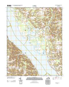
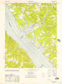 1952 Gressitt1957 Print · USGSThe Tidewater region of Virginia comes to life in the early fifties, documenting the river-centered life along the YORK RIVER. Researchers can trace family sites in Allmondsville, locate the old Prospect School, or find maritime history at Moodys Old Wharf and Red Bank Landing.
 - 1953 Map of Gressitt
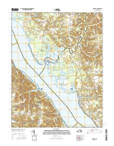
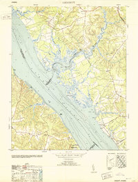 1953 Gressitt1953 Print · USGSThe York River and Poropotank River meet in this Tidewater survey from the early fifties, showing a landscape defined by water and woods. Genealogists and local historians can trace old family landing sites and vanished communities like Gressitt, Adner, and Capahosic.
 - 1959 Map of Richmond
 1959 Richmond1959 Print · USGSMid-century Virginia is captured here at its most vital rail and river junctions, from the capital city to the Chesapeake Bay. Genealogists and historians can trace the development of colonial settlements like Williamsburg and military landmarks including Fort Monroe and Camp Lee.
 - 1964 Map of Richmond
 1964 Richmond1964 Print · USGSCoastal and central Virginia are mapped during the mid-twentieth century, showing the critical intersection of rail, river, and military life. Genealogists can trace family roots through rural county seats like Amelia or find vanished coastal neighborhoods near Phoebus and Hilton Village.
 - 1965 Map of Gressitt, 1966 Print
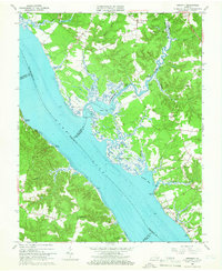 1965 Gressitt1966 Print · USGSThe Tidewater region of Virginia comes alive in the mid-1960s, showing the complex riverine borders where four counties meet. Genealogists and historians can locate old landings like Croaker Landing and rural centers such as Almondsville and Capahosic.4 unique versions available
 - 1973 Map of Richmond, 1974 Print
 1973 Richmond1974 Print · USGSThe Virginia Tidewater and Piedmont come alive in the early seventies, showcasing a region defined by its great rivers and massive military installations. Researchers can trace the mid-century growth of Richmond or locate family sites near Amelia Court House and Highland Springs.2 unique versions available
 - 1984 Map of Williamsburg, 1985 Print
 1984 Williamsburg1985 Print · USGSThe Virginia Peninsula and Chesapeake Bay shores are shown in the mid-1980s, revealing a landscape defined by colonial heritage and massive military installations. Researchers can trace the grounds of the College of William and Mary, the Yorktown National Cemetery, and the historic Jamestown Island.3 unique versions available
 - 2011 Map of Gressitt, 2011 Print
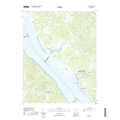
 2011 Gressitt2011 Print · USGSCovers Pinetta, including Adner, Signpine, and other nearby areas
 - 2013 Map of Gressitt, 2013 Print
 2013 Gressitt2013 Print · USGSCovers Pinetta, including Adner, Signpine, and other nearby areas
 - 2016 Map of Gressitt, 2016 Print
 2016 Gressitt2016 Print · USGSCovers Pinetta, including Adner, Signpine, and other nearby areas
 - 2019 Map of Gressitt, 2019 Print
 2019 Gressitt2019 Print · USGSCovers Pinetta, including Adner, Signpine, and other nearby areas
 - 2022 Map of Gressitt, 2022 Print
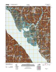
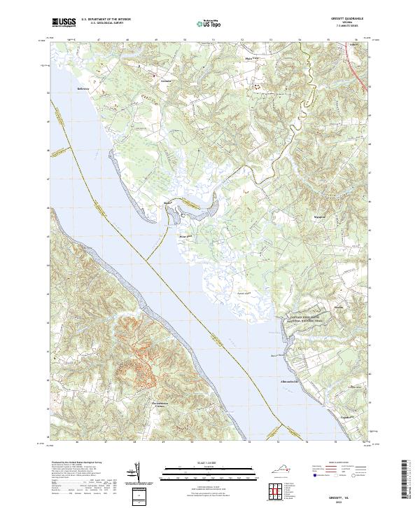 2022 Gressitt2022 Print · USGSThe York River tidewater region comes alive in the early twenty-first century, showcasing a historic landscape of riverine settlements and ancient trails. Genealogists can trace family lands near Capahosic, Allmondsville, and the Captain John Smith National Historic Trail.
End of results
Showing maps 1-15 of 15
Top cities near Pinetta
- Williamsburg historical maps
- Gloucester Point historical maps
- West Point historical maps
- Gloucester historical maps
- Saluda historical maps
- Urbanna historical maps
See more
Frequently asked questions
- What are the different types of historical maps available for Pinetta?
- What is the oldest map of Pinetta?
- Where can I purchase historical maps of Pinetta for my home or office?
- Where can I download high-res historical maps of Pinetta?
- Are there historical topographic maps available for Pinetta?
- Is there historical aerial imagery available for Pinetta?
- Where are historical maps of Pinetta sourced from?