Old Maps of Clifton Creek, Goochland County for Hiking & Exploration
Hike through history with 23 historic maps of Clifton Creek. Explore old trails, ghost towns, and forgotten backroads — perfect for outdoor adventurers and local explorers.
- Rediscover forgotten places: Map out old mining camps, roads, and footpaths that no longer exist on modern maps.
- Layer with modern tools: Combine with LiDAR or satellite views to plan hikes through historical terrain.
- Made for exploration: Popular among hikers, overlanders, and local history lovers.
Use these maps to find adventure and explore the hidden past of Clifton Creek.
Clifton Creek, Goochland County maps
(23)- 1890 Map of Goochland
 1890 Goochland1890 Print · USGSGoochland and the surrounding Virginia Piedmont are captured here in the late nineteenth century as the river-and-rail economy thrived. Researchers can trace the paths of the Chesapeake and Ohio Railroad and find landmarks like Hopeful Church or the Coal Pits.
 - 1892 Map of Goochland
 1892 Goochland1892 Print · USGSThe rural heart of central Virginia is captured here in the decade before the turn of the century, showing a landscape shaped by major rivers and early rail lines. Genealogists can trace family names and early settlements like Negro Foot, Mabelton, and the historic Hanover Academy.8 unique versions available
 - 1943 Map of Goochland
 1943 Goochland1943 Print · USGSGoochland County and the James River valley are shown here during the early 1940s, highlighting the area's river-and-rail infrastructure. Genealogists can trace family landmarks like Leakes Mill, Ragland Memorial Church, and the rural community of Three Square.2 unique versions available
 - 1943 Map of Perkinsville
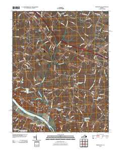
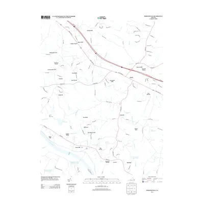
 1943 Perkinsville1943 Print · USGSGoochland County at the height of the Second World War remains a landscape of rural stores and riverside rail transport. Genealogists and historians can trace the foundations of State Farm, find old community hubs like Gammons Store, or locate country parishes such as Hebron Church.2 unique versions available
 - 1943 Map of Richmond, 1972 Print
 1943 Richmond1972 Print · USGSCoastal Virginia and the state capital are shown in detail during the mid-century era of infrastructure expansion. Genealogists and historians can trace the grounds of Richmond Nat Battlefield Park, locate the Yorktown Nat Cem, or follow the many rural routes through Amelia Court House and Tappahannock.
 - 1949 Map of Richmond, 1951 Print
 1949 Richmond1951 Print · USGSCoastal Virginia in the years following World War II remained a landscape of historic river towns and expanding military bases. Genealogists and historians can trace the rail lines of the Southern Ry and locate established landmarks from Camp Lee to the remote reaches of Dragon Swamp.
 - 1959 Map of Richmond
 1959 Richmond1959 Print · USGSMid-century Virginia is captured here at its most vital rail and river junctions, from the capital city to the Chesapeake Bay. Genealogists and historians can trace the development of colonial settlements like Williamsburg and military landmarks including Fort Monroe and Camp Lee.
 - 1964 Map of Richmond
 1964 Richmond1964 Print · USGSCoastal and central Virginia are mapped during the mid-twentieth century, showing the critical intersection of rail, river, and military life. Genealogists can trace family roots through rural county seats like Amelia or find vanished coastal neighborhoods near Phoebus and Hilton Village.
 - 1968 Map of Perkinsville, 1970 Print
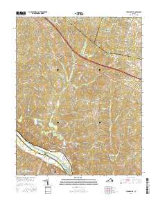
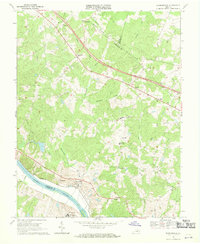 1968 Perkinsville1970 Print · USGSGoochland County in the late sixties reveals a landscape of Piedmont ridges and river-bottom industry along the James River. Genealogists and local historians can trace family locations near Gammons Store, Randolph Sch, and the State Farm Penal Institution.3 unique versions available
 - 1968 Map of Goochland, 1970 Print
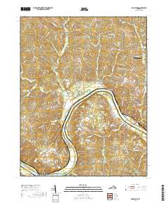
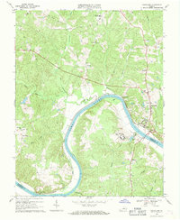 1968 Goochland1970 Print · USGSGoochland County and the James River are captured in the late sixties as the region maintained its rural and institutional character. Trace the river-and-rail corridor through Maidens and locate local landmarks like Byrd Ch and the State Farm for Women.4 unique versions available
 - 1973 Map of Richmond, 1974 Print
 1973 Richmond1974 Print · USGSThe Virginia Tidewater and Piedmont come alive in the early seventies, showcasing a region defined by its great rivers and massive military installations. Researchers can trace the mid-century growth of Richmond or locate family sites near Amelia Court House and Highland Springs.2 unique versions available
 - 1979 Map of Goochland, 1982 Print
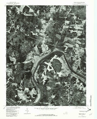 1979 Goochland1982 Print · USGSGoochland and the James River valley are captured in high-detail aerial photography during the late seventies. Researchers can trace rural land divisions and crossroads settlements such as Dogtown, Three Square, and the riverfront at Beaumont.
 - 1984 Map of Richmond, 1986 Print
 1984 Richmond1986 Print · USGSCentral Virginia during the mid-eighties shows a landscape of rapid suburban expansion centered on the state capital and its historic riverfront. Genealogists and historians can trace institutional sites like Randolph-Macon College, the grounds of Fort Lee, and small community landmarks like Hebron Ch.3 unique versions available
 - 2010 Map of Goochland, 2010 Print
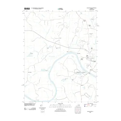 2010 Goochland2010 Print · USGSCovers Clifton Creek, including Maidens, Three Square, and other nearby areas
 - 2010 Map of Perkinsville, 2010 Print
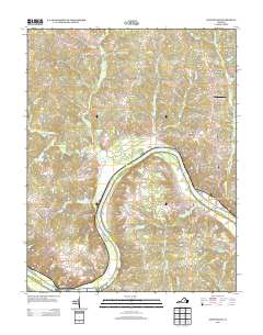
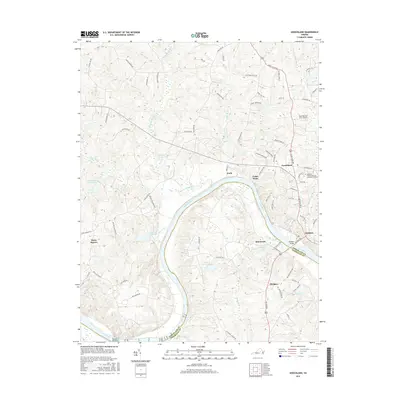
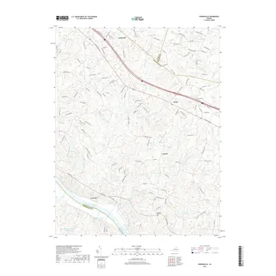
 2010 Perkinsville2010 Print · USGSCovers Clifton Creek, including Amber Lake, Crozier, and other nearby areas
 - 2013 Map of Goochland, 2013 Print
 2013 Goochland2013 Print · USGSCovers Clifton Creek, including Maidens, Three Square, and other nearby areas
 - 2013 Map of Perkinsville, 2013 Print
 2013 Perkinsville2013 Print · USGSCovers Clifton Creek, including Amber Lake, Crozier, and other nearby areas
 - 2016 Map of Goochland, 2016 Print
 2016 Goochland2016 Print · USGSCovers Clifton Creek, including Maidens, Three Square, and other nearby areas
 - 2016 Map of Perkinsville, 2016 Print
 2016 Perkinsville2016 Print · USGSCovers Clifton Creek, including Amber Lake, Crozier, and other nearby areas
 - 2019 Map of Perkinsville, 2019 Print
 2019 Perkinsville2019 Print · USGSCovers Clifton Creek, including Amber Lake, Crozier, and other nearby areas
 - 2019 Map of Goochland, 2019 Print
 2019 Goochland2019 Print · USGSCovers Clifton Creek, including Maidens, Three Square, and other nearby areas
 - 2022 Map of Goochland, 2022 Print
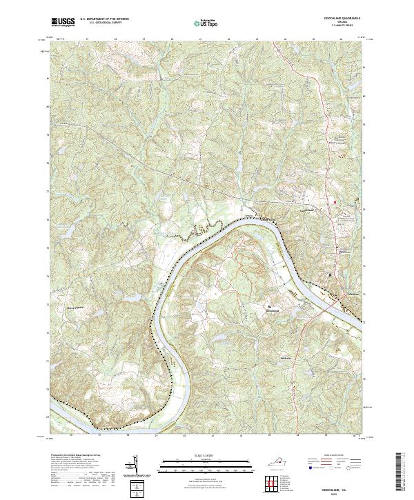 2022 Goochland2022 Print · USGSGoochland and the neighboring banks of the James River are shown here in the modern era as they balance rural character with regional growth. Researchers can locate the Goochland County Courthouse, the grounds of Powhatan State Park, and several old river-side settlements like Maidens and Irwin.
 - 2022 Map of Perkinsville, 2022 Print
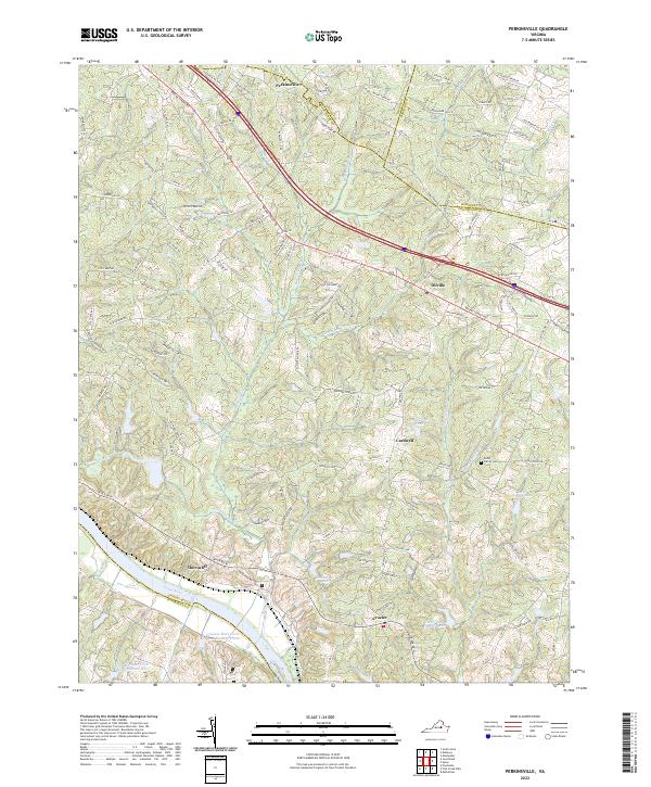 2022 Perkinsville2022 Print · USGSGoochland County at the start of the 2020s shows a landscape defined by the James River and historic road networks. Researchers can trace family sites like Knibb Family Cem or locate rural communities such as Oilville, Crozier, and Perkinsville.
End of results
Showing maps 1-23 of 23
Frequently asked questions
- What are the different types of historical maps available for Clifton Creek?
- What is the oldest map of Clifton Creek?
- Where can I purchase historical maps of Clifton Creek for my home or office?
- Where can I download high-res historical maps of Clifton Creek?
- Are there historical topographic maps available for Clifton Creek?
- Is there historical aerial imagery available for Clifton Creek?
- Where are historical maps of Clifton Creek sourced from?