Old Maps of Magnums Mobile Home Park, Virginia for Genealogy
Trace your family roots with 11 historic maps of Magnums Mobile Home Park. These high-res maps reveal old neighborhoods, homesites, landmarks, and streets — helping you uncover where your ancestors lived and how the area evolved over time.
- Explore historic neighborhoods: Identify where your relatives may have lived in the 1800s or 1900s.
- Compare maps over time: Trace the changes in streets, buildings, and landmarks for multi-generational research.
- Perfect for genealogy & ancestry research: Used by family historians and researchers to map out lineage and migration.
These maps are an incredible resource for exploring your personal connection to Magnums Mobile Home Park's past.
Magnums Mobile Home Park, VA maps
(11)- 1919 Map of Emporia
 1919 Emporia1919 Print · USGSSouthern Virginia and the North Carolina borderlands are captured here at the height of the railroad era. Researchers can trace family roots through rural landmarks like Hopeville (Post Store), Squire School, and the Hitchcock Quarry.3 unique versions available
 - 1942 Map of Emporia
 1942 Emporia1942 Print · USGSThe Virginia-North Carolina borderlands are captured here during the early years of the war, centered on the rail crossroads of Emporia. Genealogists can trace family footprints through several rural landmarks, including Hobbs Chapel, Pairs Store, and Brewers Crossroads.
 - 1953 Map of Norfolk, 1954 Print
 1953 Norfolk1954 Print · USGSCoastal Virginia and northeastern North Carolina appear here during the post-war industrial boom, showing the critical rail-and-sea connections of Hampton Roads. Genealogists can trace family roots through rural landmarks like Gethsemane Ch, the Caledonia State Prison Farm, and the vast interior of the Dismal Swamp.4 unique versions available
 - 1963 Map of Emporia, 1964 Print
 1963 Emporia1964 Print · USGSGreensville County at the dawn of the 1960s reveals a bustling rail crossroads centered on Emporia. Researchers can trace the development of local institutions like the Greensville Memorial Hospital and locate family landmarks such as Jones Cemetery and Round Hill Cemetery.5 unique versions available
 - 1984 Map of Emporia, 1986 Print
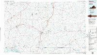 1984 Emporia1986 Print · USGSSouthside Virginia and the North Carolina borderlands are captured here in the mid-1980s, centered on the transit hub of Emporia. Researchers can trace old rail corridors like the Seaboard System or locate historic sites including Fort Christanna and White Oak Ch.
 - 1990 Map of Emporia
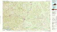 1990 Emporia1990 Print · USGSThe Southside Virginia borderlands are captured here in the late twentieth century, showing the critical rail and river networks of the region. Genealogists and local historians can trace family roots through rural communities like Alberta, Boykins, and Dolphin along the Meherrin River.
 - 2010 Map of Emporia, 2010 Print
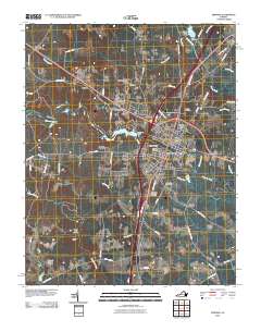 2010 Emporia2010 Print · USGSEmporia and its surrounding Southside Virginia neighborhoods are documented here during a period of steady modern growth. Researchers can locate specific family landmarks such as Southern Grove Farms and old burial grounds like Round Hill Cemetery and Cottage Cemetery.
 - 2013 Map of Emporia, 2013 Print
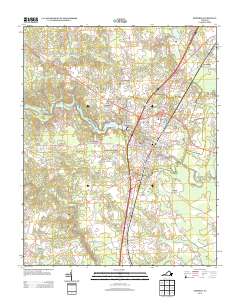 2013 Emporia2013 Print · USGSEmporia and its surrounding Southside Virginia neighborhoods are documented here during a period of modern residential and infrastructure development. Local historians can trace the footprints of White City, Washington Park, and the riverfront Emporia Waterworks.
 - 2016 Map of Emporia, 2016 Print
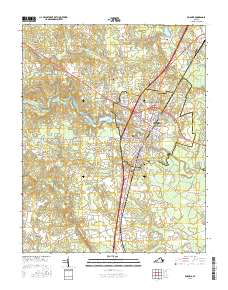 2016 Emporia2016 Print · USGSEmporia and the surrounding Greensville County countryside are documented here in the mid-2010s, centered on the historic river crossing. Researchers can trace local landmarks from Southside Virginia Community College to rural sites like Bufford Crossroads and Falling Run Cemetery.
 - 2019 Map of Emporia, 2019 Print
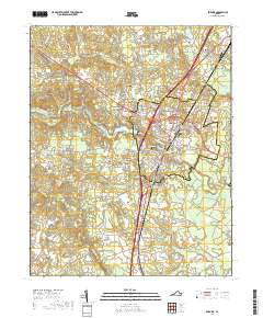 2019 Emporia2019 Print · USGSEmporia and its surrounding Southside Virginia countryside are shown here in the early twenty-first century as the region balanced its civic heritage with modern growth. Researchers can trace local lineage through numerous sites like the Greensville County Courthouse, Falling Run Cem, and Jones Cem.
 - 2022 Map of Emporia, 2022 Print
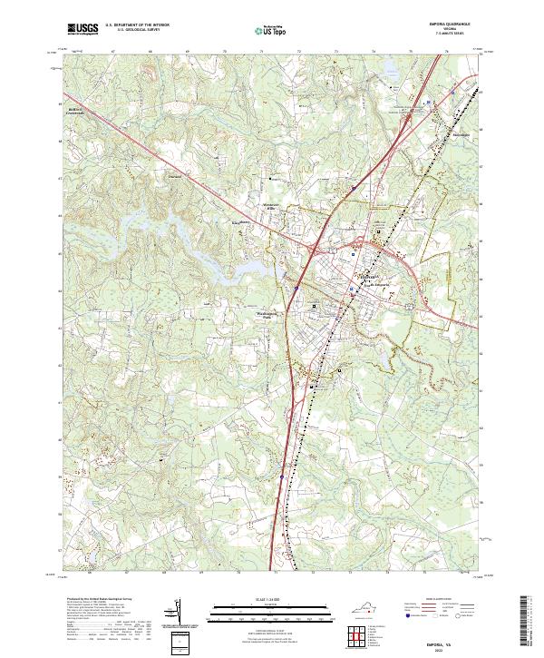 2022 Emporia2022 Print · USGSEmporia and the surrounding Greensville countryside are captured in the early 2020s as a vital crossroads along the Meherrin River. Researchers can trace local heritage through sites like the Greensville County Courthouse, Washington Park, and the Falling Run Cemetery.
End of results
Showing maps 1-11 of 11
Frequently asked questions
- What are the different types of historical maps available for Magnums Mobile Home Park?
- What is the oldest map of Magnums Mobile Home Park?
- Where can I purchase historical maps of Magnums Mobile Home Park for my home or office?
- Where can I download high-res historical maps of Magnums Mobile Home Park?
- Are there historical topographic maps available for Magnums Mobile Home Park?
- Is there historical aerial imagery available for Magnums Mobile Home Park?
- Where are historical maps of Magnums Mobile Home Park sourced from?