Old Maps of Cody, Virginia for Metal Detecting
Plan your next treasure hunt with 12 historic maps of Cody. Find old homesites, ghost towns, trails, and gathering spots that may be lost to time — perfect for identifying promising metal detecting locations.
- Locate forgotten sites: Uncover places like long-lost settlements, abandoned rail lines, or gathering spots.
- Plan better hunts: Use map overlays combined with LiDAR or satellite views to narrow in on historically rich areas.
- Made for detectorists: Thousands of hobbyists use these maps to discover relics, coins, and hidden history.
Use these historic maps to boost your research and find new opportunities beneath the surface of Cody.
Cody, VA maps
(12)- 1953 Map of Greensboro, 1981 Print
 1953 Greensboro1981 Print · USGSThe Piedmont borderlands of North Carolina and Virginia show a landscape defined by new reservoirs and old rail lines. Trace family roots and the changing river geography through Elon College, the John H Kerr Reservoir, and South Boston.
 - 1954 Map of Greensboro
 1954 Greensboro1954 Print · USGSThe Piedmont borderlands of North Carolina and Virginia come alive in this mid-fifties study of a region defined by its rivers and rails. Researchers can trace the growing Buggs Island Lake or follow the paths of the Southern Ry and Seaboard Air Line RR through towns like Oxford and Reidsville.
 - 1954 Map of Riceville, 1956 Print
 1954 Riceville1956 Print · USGSCentral Virginia in the mid-1950s is captured here, showing the rural landscape along the Banister River. Local researchers can locate family landmarks like Henrys Mill, the Carter Glass Sch, and County Line Cem Ch.
 - 1962 Map of Greensboro
 1962 Greensboro1962 Print · USGSThe Piedmont region along the Virginia and North Carolina border comes alive in the early 1960s, showing a landscape defined by industry and new reservoirs. Trace the path of the Virginian RR or explore the early development of Greensboro and Durham.
 - 1966 Map of Greensboro
 1966 Greensboro1966 Print · USGSThe North Carolina and Virginia Piedmont thrives during the mid-sixties, showcasing a landscape of textile hubs and expanding river reservoirs. Researchers can trace the rail corridors of the Southern Railway, find local landmarks like Elon College, or locate the extensive Camp Butner Military Reservation.
 - 1968 Map of Republican Grove, 1972 Print
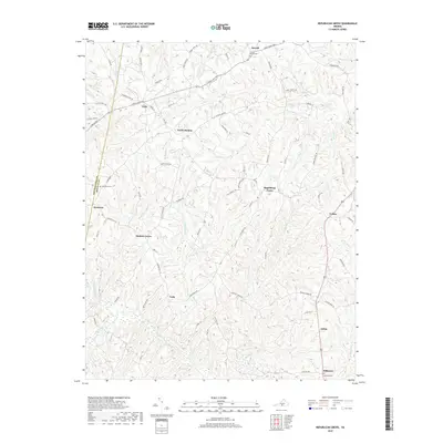
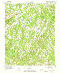 1968 Republican Grove1972 Print · USGSHalifax County's rolling countryside is captured here in the late sixties, showing a landscape of small farming communities and river bends. Researchers can locate family landmarks like Clover Bottom Ch, the Sydnor Jennings Sch, and the old crossroads at Republican Grove.3 unique versions available
 - 1984 Map of Danville
 1984 Danville1984 Print · USGSThe Virginia and North Carolina borderlands in the mid-1980s reveal a landscape of industrial river towns and rural Piedmont crossroads. Genealogists and historians can trace family sites near Highland Burial Park, find local landmarks like the Patrick Henry Monument, and locate old settlements like Callands or Milton.
 - 2011 Map of Republican Grove, 2011 Print
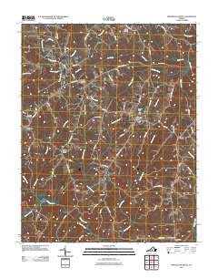 2011 Republican Grove2011 Print · USGSCovers Cody, including Alchie, Leda, and other nearby areas
 - 2013 Map of Republican Grove, 2013 Print
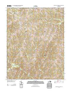 2013 Republican Grove2013 Print · USGSCovers Cody, including Alchie, Leda, and other nearby areas
 - 2016 Map of Republican Grove, 2016 Print
 2016 Republican Grove2016 Print · USGSCovers Cody, including Alchie, Leda, and other nearby areas
 - 2019 Map of Republican Grove, 2019 Print
 2019 Republican Grove2019 Print · USGSCovers Cody, including Alchie, Leda, and other nearby areas
 - 2022 Map of Republican Grove, 2022 Print
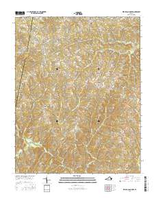
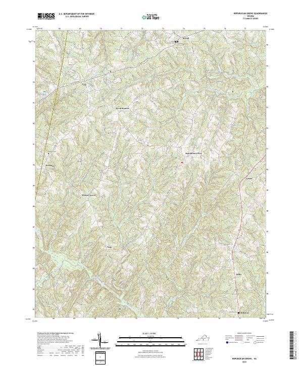 2022 Republican Grove2022 Print · USGSHalifax and Pittsylvania counties remain deeply rural in this recent survey of the Virginia Piedmont. Researchers can trace family history through sites like the Laprade Epperson Family Cemetery and small communities such as Republican Grove, Leda, and Hickory Grove.
End of results
Showing maps 1-12 of 12
Top cities near Cody
- Altavista historical maps
- Brookneal historical maps
- Hurt historical maps
- Halifax historical maps
- Mountain Road historical maps
Frequently asked questions
- What are the different types of historical maps available for Cody?
- What is the oldest map of Cody?
- Where can I purchase historical maps of Cody for my home or office?
- Where can I download high-res historical maps of Cody?
- Are there historical topographic maps available for Cody?
- Is there historical aerial imagery available for Cody?
- Where are historical maps of Cody sourced from?