Old Maps of Raleigh Terrace, Virginia for Academic Research
Study the evolution of Raleigh Terrace with 17 high-resolution historic maps. Whether you're teaching, researching, or modeling changes in land use, these maps provide essential visual documentation of urban, environmental, and geographic change.
- Analyze long-term change: Track patterns in development, transportation, and natural features.
- Ideal for environmental or urban studies: Support academic projects with primary historical map data.
- Use in the classroom or lab: Educators and researchers rely on these maps to bring historical context to life.
These maps are a powerful tool for teaching, research, and visualizing how Raleigh Terrace has changed over the decades.
Raleigh Terrace, VA maps
(17)- 1907 Map of Norfolk
 1907 Norfolk1907 Print · USGSCoastal Virginia is mapped here at the dawn of the twentieth century, during the bustle of the great Jamestown Exposition. Researchers can trace the early rail-and-canal economy through the Albemarle and Chesapeake Canal, the Navy Yard, and historic outposts like the Cape Henry Light.
 - 1907 Map of Hampton, 1916 Print
 1907 Hampton1916 Print · USGSThe Virginia Peninsula is mapped here in the early twentieth century, showing a coastal landscape shaped by its military and maritime heritage. Genealogists can trace family lines in settlements like Poquoson, Dare, and Phoebus, or locate records at the National Soldiers Home and Hampton Normal School.6 unique versions available
 - 1943 Map of Richmond, 1972 Print
 1943 Richmond1972 Print · USGSCoastal Virginia and the state capital are shown in detail during the mid-century era of infrastructure expansion. Genealogists and historians can trace the grounds of Richmond Nat Battlefield Park, locate the Yorktown Nat Cem, or follow the many rural routes through Amelia Court House and Tappahannock.
 - 1944 Map of Hampton
 1944 Hampton1944 Print · USGSThe Virginia Peninsula is seen here during the war years, characterized by a mix of historic coastal towns and expanding military installations. Researchers can trace family roots through Fox Hill Cem, visit Buckroe Beach, or locate landmarks like Roseland Manor and the Hampton Normal School.
 - 1949 Map of Richmond, 1951 Print
 1949 Richmond1951 Print · USGSCoastal Virginia in the years following World War II remained a landscape of historic river towns and expanding military bases. Genealogists and historians can trace the rail lines of the Southern Ry and locate established landmarks from Camp Lee to the remote reaches of Dragon Swamp.
 - 1955 Map of Hampton, 1958 Print
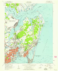 1955 Hampton1958 Print · USGSHampton and the tip of the Virginia Peninsula are shown here during the mid-fifties, dominated by military installations and bayfront communities. Genealogists and historians can trace neighborhood growth in Pleasant Manor, locate the Western Cem, or study the grounds of Hampton Institute and Fort Monroe.
 - 1959 Map of Richmond
 1959 Richmond1959 Print · USGSMid-century Virginia is captured here at its most vital rail and river junctions, from the capital city to the Chesapeake Bay. Genealogists and historians can trace the development of colonial settlements like Williamsburg and military landmarks including Fort Monroe and Camp Lee.
 - 1964 Map of Richmond
 1964 Richmond1964 Print · USGSCoastal and central Virginia are mapped during the mid-twentieth century, showing the critical intersection of rail, river, and military life. Genealogists can trace family roots through rural county seats like Amelia or find vanished coastal neighborhoods near Phoebus and Hilton Village.
 - 1965 Map of Hampton, 1967 Print
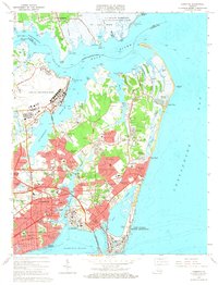 1965 Hampton1967 Print · USGSCoastal Virginia in the mid-sixties shows a peninsula transformed by military installations and suburban growth. Trace the development of Buckroe Beach, the sprawling grounds of Langley Air Force Base, and historic sites like Hampton Institute.5 unique versions available
 - 1973 Map of Richmond, 1974 Print
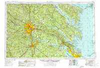 1973 Richmond1974 Print · USGSThe Virginia Tidewater and Piedmont come alive in the early seventies, showcasing a region defined by its great rivers and massive military installations. Researchers can trace the mid-century growth of Richmond or locate family sites near Amelia Court House and Highland Springs.2 unique versions available
 - 1973 Map of Hampton, 1977 Print
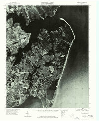 1973 Hampton1977 Print · USGSThe Virginia coast comes into sharp focus in the early 1970s, showing the intersection of urban growth and the shoreline. Researchers can trace the mid-century footprint of Hampton and the extensive waterfront developments along the Chesapeake.
 - 1984 Map of Williamsburg, 1985 Print
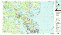 1984 Williamsburg1985 Print · USGSThe Virginia Peninsula and Chesapeake Bay shores are shown in the mid-1980s, revealing a landscape defined by colonial heritage and massive military installations. Researchers can trace the grounds of the College of William and Mary, the Yorktown National Cemetery, and the historic Jamestown Island.3 unique versions available
 - 2011 Map of Hampton, 2011 Print
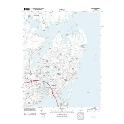 2011 Hampton2011 Print · USGSCoastal Virginia at the turn of the decade reveals a dense mix of military heritage and maritime life along the Chesapeake Bay. Genealogists and historians can trace family locations near Hampton National Cemetery, Buckroe Beach, or the historic Phoebus area.
 - 2013 Map of Hampton, 2013 Print
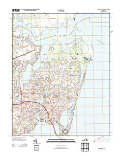 2013 Hampton2013 Print · USGSHampton and its surrounding peninsula are shown in detail during the early 21st century, highlighting a landscape defined by military aviation and historic maritime access. Researchers can trace neighborhood growth through Kecoughtan and Phoebus or locate waterfront landmarks like the Old Point Comfort Lighthouse and Buckroe Beach.
 - 2016 Map of Hampton, 2016 Print
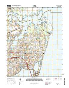 2016 Hampton2016 Print · USGSHampton and the surrounding coastal Virginia landscape are documented here in the mid-2010s. Genealogists and local historians can locate numerous historical burial sites like Saint John's Cem and landmarks such as Hampton Univ and Old Point Comfort.
 - 2019 Map of Hampton, 2019 Print
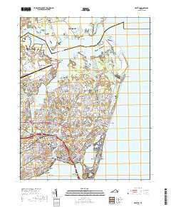 2019 Hampton2019 Print · USGSThe Virginia Peninsula comes alive in the late 2010s, showing a landscape shaped by coastal defense and maritime history. Researchers can trace ancestral connections at Hampton National Cemetery or explore the historic footprint of Fort Monroe and Langley Air Force Base.
 - 2022 Map of Hampton, 2022 Print
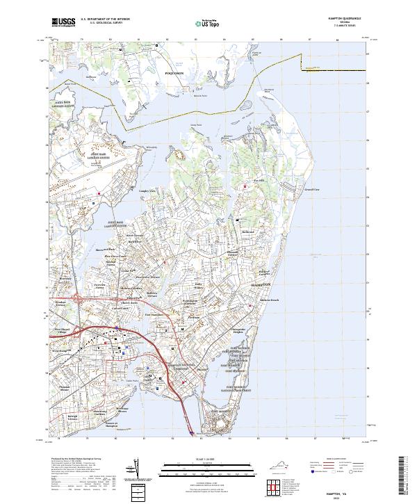 2022 Hampton2022 Print · USGSThe coastal reaches of Hampton and Poquoson are shown in the 2020s, dominated by a mix of military history and bayfront life. Researchers can trace land use from Fort Monroe to family landmarks like Weston Cem and Sinclair Farms.
End of results
Showing maps 1-17 of 17
Frequently asked questions
- What are the different types of historical maps available for Raleigh Terrace?
- What is the oldest map of Raleigh Terrace?
- Where can I purchase historical maps of Raleigh Terrace for my home or office?
- Where can I download high-res historical maps of Raleigh Terrace?
- Are there historical topographic maps available for Raleigh Terrace?
- Is there historical aerial imagery available for Raleigh Terrace?
- Where are historical maps of Raleigh Terrace sourced from?