Old Maps of Bennington Ridge East, Henrico County for Hiking & Exploration
Hike through history with 25 historic maps of Bennington Ridge East. Explore old trails, ghost towns, and forgotten backroads — perfect for outdoor adventurers and local explorers.
- Rediscover forgotten places: Map out old mining camps, roads, and footpaths that no longer exist on modern maps.
- Layer with modern tools: Combine with LiDAR or satellite views to plan hikes through historical terrain.
- Made for exploration: Popular among hikers, overlanders, and local history lovers.
Use these maps to find adventure and explore the hidden past of Bennington Ridge East.
Bennington Ridge East, Henrico County maps
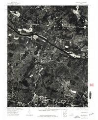
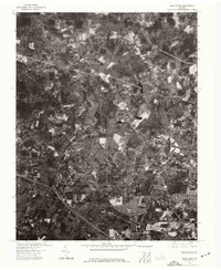
(25)- 1890 Map of Goochland
 1890 Goochland1890 Print · USGSCovers Bennington Ridge East, including Tuckahoe, Short Pump, and other nearby areas
 - 1892 Map of Goochland
 1892 Goochland1892 Print · USGSCovers Bennington Ridge East, including Tuckahoe, Short Pump, and other nearby areas8 unique versions available
 - 1936 Map of Richmond West
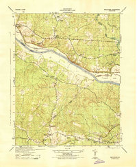
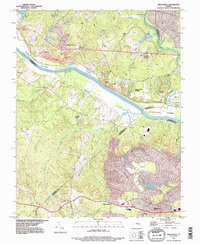
 1936 Richmond West1936 Print · USGSCovers Bennington Ridge East, including Tuckahoe, Bon Air, and other nearby areas2 unique versions available
 - 1936 Map of Glen Allen
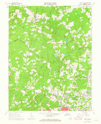
 1936 Glen Allen1936 Print · USGSCovers Bennington Ridge East, including Short Pump, Glen Allen, and other nearby areas2 unique versions available
 - 1941 Map of Glen Allen
 1941 Glen Allen1941 Print · USGSCovers Bennington Ridge East, including Short Pump, Glen Allen, and other nearby areas2 unique versions available
 - 1942 Map of Westhampton
 1942 Westhampton1942 Print · USGSCovers Bennington Ridge East, including Tuckahoe, Bon Air, and other nearby areas2 unique versions available
 - 1943 Map of Midlothian, 1961 Print
 1943 Midlothian1961 Print · USGSCovers Bennington Ridge East, including Monacan Hill, Midlothian, and other nearby areas
 - 1943 Map of Johnsons Springs, 1961 Print
 1943 Johnsons Springs1961 Print · USGSCovers Bennington Ridge East, including Rockville, Homewood Park, and other nearby areas
 - 1943 Map of Richmond, 1972 Print
 1943 Richmond1972 Print · USGSCovers Bennington Ridge East, including Richmond, Hampton, and other nearby areas
 - 1944 Map of Midlothian
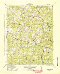
 1944 Midlothian1944 Print · USGSCovers Bennington Ridge East, including Monacan Hill, Midlothian, and other nearby areas
 - 1944 Map of Johnsons Springs
 1944 Johnsons Springs1944 Print · USGSCovers Bennington Ridge East, including Rockville, Homewood Park, and other nearby areas
 - 1949 Map of Richmond, 1951 Print
 1949 Richmond1951 Print · USGSCovers Bennington Ridge East, including Richmond, Hampton, and other nearby areas
 - 1959 Map of Richmond
 1959 Richmond1959 Print · USGSCovers Bennington Ridge East, including Richmond, Hampton, and other nearby areas
 - 1963 Map of Hylas, 1965 Print
 1963 Hylas1965 Print · USGSCovers Bennington Ridge East, including Rockville, Homewood Park, and other nearby areas3 unique versions available
 - 1963 Map of Glen Allen, 1965 Print
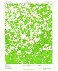
 1963 Glen Allen1965 Print · USGSCovers Bennington Ridge East, including Short Pump, Glen Allen, and other nearby areas7 unique versions available
 - 1964 Map of Richmond
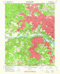
 1964 Richmond1964 Print · USGSCovers Bennington Ridge East, including Richmond, Hampton, and other nearby areas
 - 1964 Map of Bon Air, 1965 Print
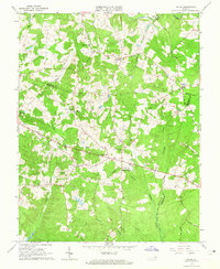
 1964 Bon Air1965 Print · USGSCovers Bennington Ridge East, including Tuckahoe, Bon Air, and other nearby areas8 unique versions available
 - 1964 Map of Midlothian, 1965 Print
 1964 Midlothian1965 Print · USGSCovers Bennington Ridge East, including Monacan Hill, Midlothian, and other nearby areas5 unique versions available
 - 1973 Map of Richmond, 1974 Print
 1973 Richmond1974 Print · USGSCovers Bennington Ridge East, including Richmond, Hampton, and other nearby areas2 unique versions available
 - 1974 Map of Bon Air, 1977 Print
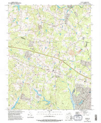
 1974 Bon Air1977 Print · USGSCovers Bennington Ridge East, including Tuckahoe, Bon Air, and other nearby areas
 - 1974 Map of Midlothian, 1977 Print
 1974 Midlothian1977 Print · USGSCovers Bennington Ridge East, including Monacan Hill, Midlothian, and other nearby areas
 - 1974 Map of Glen Allen, 1977 Print
 1974 Glen Allen1977 Print · USGSCovers Bennington Ridge East, including Short Pump, Glen Allen, and other nearby areas
 - 1984 Map of Richmond, 1986 Print
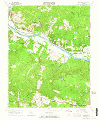
 1984 Richmond1986 Print · USGSCovers Bennington Ridge East, including Richmond, Tuckahoe, and other nearby areas3 unique versions available
 - 1994 Map of Midlothian, 1996 Print
 1994 Midlothian1996 Print · USGSCovers Bennington Ridge East, including Monacan Hill, Midlothian, and other nearby areas
 - 1994 Map of Hylas, 1996 Print
 1994 Hylas1996 Print · USGSCovers Bennington Ridge East, including Rockville, Homewood Park, and other nearby areas
End of results
Showing maps 1-25 of 25
Frequently asked questions
- What are the different types of historical maps available for Bennington Ridge East?
- What is the oldest map of Bennington Ridge East?
- Where can I purchase historical maps of Bennington Ridge East for my home or office?
- Where can I download high-res historical maps of Bennington Ridge East?
- Are there historical topographic maps available for Bennington Ridge East?
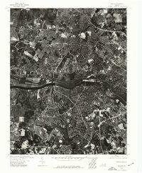
- Is there historical aerial imagery available for Bennington Ridge East?
- Where are historical maps of Bennington Ridge East sourced from?