Old Maps of Mallards Crossing, Virginia
Explore 17 old maps of Mallards Crossing, spanning from 1890 to today. These high-resolution historic maps reveal how streets, neighborhoods, landmarks, and natural features evolved over time — perfect for genealogy, metal detecting, research, and local history exploration.
What you can do with these maps:
- See how Mallards Crossing changed over time: Compare historical maps to modern-day views to trace roads, homesites, rail lines & more.
- View detailed metadata: Each map includes creators, publishers, year, scale, and archive source.
- Overlay maps with satellite & LiDAR: Visualize the past alongside modern tools to explore terrain & human change.
- Trusted historical sources: Maps sourced from the USGS, Library of Congress, and other archives.
- Access maps your way: View online, download high-res files, or order prints for personal or research use.
Start exploring old maps of Mallards Crossing to uncover forgotten places, hidden landmarks, and the deep history beneath your feet.
Mallards Crossing, VA maps
(17)- 1890 Map of Goochland
 1890 Goochland1890 Print · USGSGoochland and the surrounding Virginia Piedmont are captured here in the late nineteenth century as the river-and-rail economy thrived. Researchers can trace the paths of the Chesapeake and Ohio Railroad and find landmarks like Hopeful Church or the Coal Pits.
 - 1892 Map of Goochland
 1892 Goochland1892 Print · USGSThe rural heart of central Virginia is captured here in the decade before the turn of the century, showing a landscape shaped by major rivers and early rail lines. Genealogists can trace family names and early settlements like Negro Foot, Mabelton, and the historic Hanover Academy.8 unique versions available
 - 1943 Map of Johnsons Springs, 1961 Print
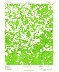 1943 Johnsons Springs1961 Print · USGSGoochland County at the height of the 1940s shows a rural Piedmont landscape of crossroads hamlets and family-named creek branches. Genealogists can trace early homesteads and community hubs like Rockville, Johnsons Springs, and the Centerville Sch.
 - 1943 Map of Richmond, 1972 Print
 1943 Richmond1972 Print · USGSCoastal Virginia and the state capital are shown in detail during the mid-century era of infrastructure expansion. Genealogists and historians can trace the grounds of Richmond Nat Battlefield Park, locate the Yorktown Nat Cem, or follow the many rural routes through Amelia Court House and Tappahannock.
 - 1944 Map of Johnsons Springs
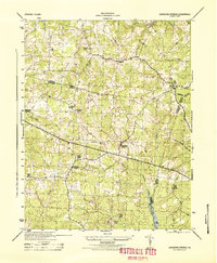 1944 Johnsons Springs1944 Print · USGSGoochland and Hanover counties are shown in detail during the mid-1940s, revealing a landscape of rural schoolhouses and country parishes. Genealogists can trace family connections to landmarks like Rockville School, Berea Church, and the homestead at Few Acres Farm.
 - 1949 Map of Richmond, 1951 Print
 1949 Richmond1951 Print · USGSCoastal Virginia in the years following World War II remained a landscape of historic river towns and expanding military bases. Genealogists and historians can trace the rail lines of the Southern Ry and locate established landmarks from Camp Lee to the remote reaches of Dragon Swamp.
 - 1959 Map of Richmond
 1959 Richmond1959 Print · USGSMid-century Virginia is captured here at its most vital rail and river junctions, from the capital city to the Chesapeake Bay. Genealogists and historians can trace the development of colonial settlements like Williamsburg and military landmarks including Fort Monroe and Camp Lee.
 - 1963 Map of Hylas, 1965 Print
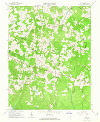 1963 Hylas1965 Print · USGSGoochland and Hanover counties come together in the early sixties at the headwaters of the Tuckahoe. Genealogists can trace family footprints through numerous small communities like Rockville and Johnsons Springs, or locate rural landmarks like St Matthews Ch and the Rockville Sch.3 unique versions available
 - 1964 Map of Richmond
 1964 Richmond1964 Print · USGSCoastal and central Virginia are mapped during the mid-twentieth century, showing the critical intersection of rail, river, and military life. Genealogists can trace family roots through rural county seats like Amelia or find vanished coastal neighborhoods near Phoebus and Hilton Village.
 - 1973 Map of Richmond, 1974 Print
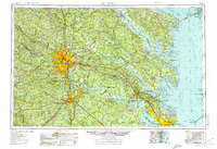 1973 Richmond1974 Print · USGSThe Virginia Tidewater and Piedmont come alive in the early seventies, showcasing a region defined by its great rivers and massive military installations. Researchers can trace the mid-century growth of Richmond or locate family sites near Amelia Court House and Highland Springs.2 unique versions available
 - 1984 Map of Richmond, 1986 Print
 1984 Richmond1986 Print · USGSCentral Virginia during the mid-eighties shows a landscape of rapid suburban expansion centered on the state capital and its historic riverfront. Genealogists and historians can trace institutional sites like Randolph-Macon College, the grounds of Fort Lee, and small community landmarks like Hebron Ch.3 unique versions available
 - 1994 Map of Hylas, 1996 Print
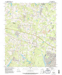 1994 Hylas1996 Print · USGSGoochland and Hanover counties come together in the mid-1990s along the banks of the South Anna River and Tuckahoe Creek. Genealogists and local historians can locate numerous family Cem sites and trace the rural road network connecting Rockville, Hylas, and Johnsons Spring.
 - 2010 Map of Hylas, 2010 Print
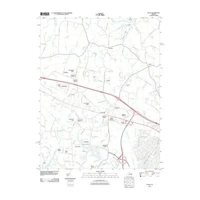 2010 Hylas2010 Print · USGSThe Hanover and Goochland county lines meet here during a period of rapid suburban change at the start of the twenty-first century. Researchers can trace the development of residential enclaves like Bellview Gardens and find rural landmarks such as Cochran Dam and the Rockville Airport.
 - 2013 Map of Hylas, 2013 Print
 2013 Hylas2013 Print · USGSGreater Richmond’s western outskirts appear in this early twenty-first century survey, showing the expansion of settlements near the South Anna River. Genealogists and historians can trace family-named areas like Johnsons Springs, Pickels, and Casco.
 - 2016 Map of Hylas, 2016 Print
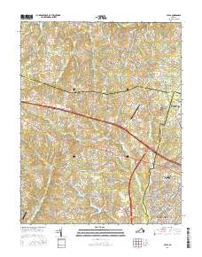 2016 Hylas2016 Print · USGSThe rural-to-suburban transition of the Virginia Piedmont is captured here as neighborhoods expand into historic farm and timber lands. Researchers can trace local development around Rockville, Johnsons Springs, and the airfield at Sabot Airport.
 - 2019 Map of Hylas, 2019 Print
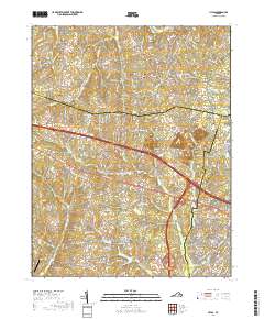 2019 Hylas2019 Print · USGSThe rural-to-suburban transition of Goochland and Hanover counties is visible in this recent study of the Piedmont. Researchers can trace local property development along Pouncey Tract Rd and find landmarks like Sabot Airport and Johnsons Springs.
 - 2022 Map of Hylas, 2022 Print
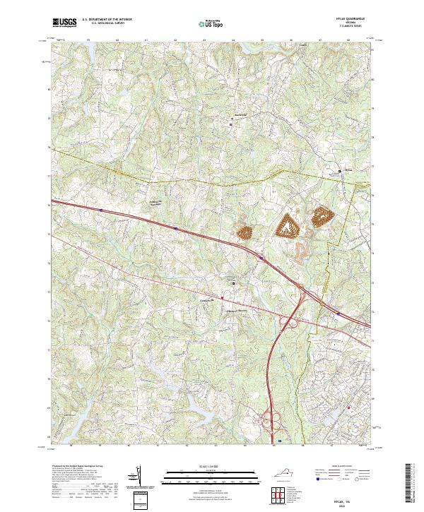 2022 Hylas2022 Print · USGSGoochland and Hanover counties come together in this contemporary 2022 survey of the rural Virginia landscape. Researchers can trace local heritage at Saint Matthews Methodist Church/Cem or follow the waters of the South Anna River and Broad Br Lake.
End of results
Showing maps 1-17 of 17
Frequently asked questions
- What are the different types of historical maps available for Mallards Crossing?
- What is the oldest map of Mallards Crossing?
- Where can I purchase historical maps of Mallards Crossing for my home or office?
- Where can I download high-res historical maps of Mallards Crossing?
- Are there historical topographic maps available for Mallards Crossing?
- Is there historical aerial imagery available for Mallards Crossing?
- Where are historical maps of Mallards Crossing sourced from?