2000s (21st Century) Maps of James City County, Virginia
Explore 50 historic maps of James City County from the 2000s (21st Century). These maps offer a rare glimpse into what life looked like during the 2000s — showing old roads, neighborhoods, homes, and landmarks that have changed or disappeared over time.
Whether you're researching your family's past, planning a metal detecting trip, or studying how James City County's landscape evolved across the 2000s, these high-resolution maps are a powerful tool for exploring the history of this region.
- Focus on a specific era: All maps on this page are from the 2000s, giving you a focused view of this time period.
- See what’s changed: Compare century-old streets, trails, and buildings to today's modern landscape using overlays and satellite layers.
- Research with precision: Use these maps for genealogy, historical research, land use analysis, or educational projects.
- View, download, or print: Maps are fully viewable online in high resolution, and can be downloaded or printed for your own records.
Start exploring James City County's history through authentic maps from the 2000s. This is your window into the past.
James City County, VA maps
(50)- 2010 Map of Williamsburg, 2010 Print
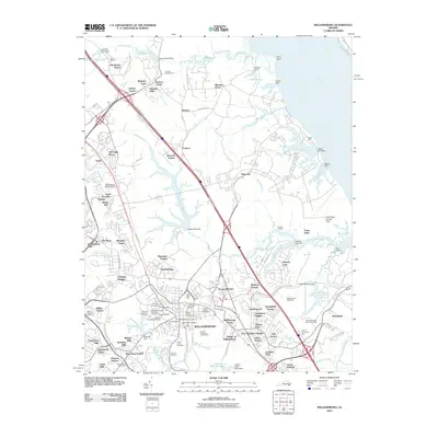 2010 Williamsburg2010 Print · USGSWilliamsburg at the start of the 2010s shows a unique blend of preserved colonial history and contemporary suburban expansion. Trace local family roots and early industry through sites like the Bruton Parish Churchyard, Bigler Mill, and the Galt Family Cemetery.
 - 2010 Map of Surry, 2010 Print
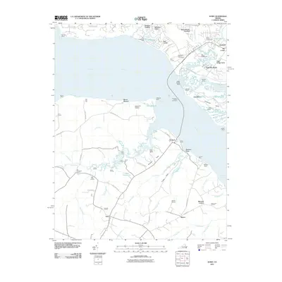 2010 Surry2010 Print · USGSCoastal Virginia and the James River corridor are shown in this contemporary study of one of America's oldest colonial regions. Trace local family history and landmarks like Smith Fort, the Jamestown-Scotland Wharf Ferry, and Oakwood Cemetery.
 - 2010 Map of Norge, 2010 Print
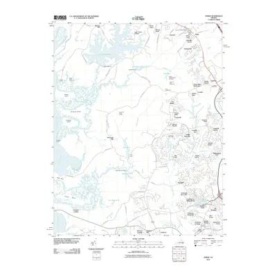 2010 Norge2010 Print · USGSJames City County at the start of the 2010s shows a landscape of growing residential enclaves set against the tidal marshes of the Chickahominy River. Genealogists and local historians can trace family sites near Norge, the James City Chapel Cemetery, and the old grounds of Warren Mill.
 - 2010 Map of Yorktown, 2010 Print
 2010 Yorktown2010 Print · USGSCoastal Virginia near the start of the twenty-first century retains deep ties to its revolutionary and military past. Genealogists and historians can trace significant landmarks like the Yorktown National Cemetery, Poplar Hall Plantation, and the historic Surrender Road.
 - 2010 Map of Hog Island, 2010 Print
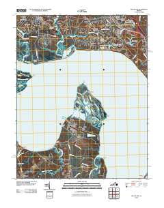 2010 Hog Island2010 Print · USGSThe James River corridor south of Williamsburg remains a landscape of historic peninsulas and marshy necks as seen in the early twenty-first century. Genealogists and historians can trace family sites near Highgate, locate the Travis Cemetery on Jamestown Island, and explore the wetlands of Hog Island.
 - 2011 Map of Claremont, 2011 Print
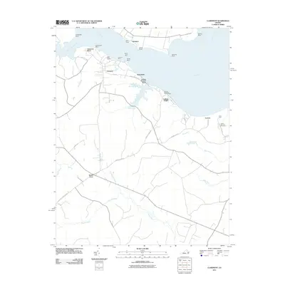 2011 Claremont2011 Print · USGSThe southern banks of the James River are captured in the early twenty-first century as the Chickahominy joins the main channel. Researchers can trace riverfront landmarks like Claremont Wharf, find Saint Annes Cemetery, and explore the marshes of Cypress Swamp.
 - 2011 Map of Brandon, 2011 Print
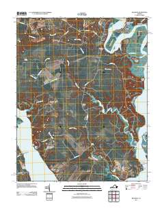 2011 Brandon2011 Print · USGSThe confluence of the James and Chickahominy Rivers is captured here in the early twenty-first century, showing a landscape of historic plantations and river landings. Trace family roots and local commerce through landmarks like Brandon Plantation Cemetery, Blanks Store, and Ritchie Wharf.
 - 2011 Map of Gressitt, 2011 Print
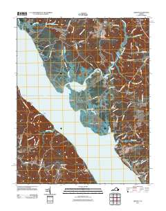 2011 Gressitt2011 Print · USGSCoastal Virginia near the York River is mapped here in the early twenty-first century, showing a landscape defined by tidal creeks and historic landings. Genealogists and local historians can trace family-named sites like Allmonds Wharf, Christensons Corner, and Capahosic Landing.
 - 2011 Map of Toano, 2011 Print
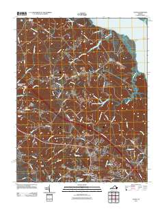 2011 Toano2011 Print · USGSThe James City County and New Kent County borderlands are shown here in the early 2000s as a landscape of tidal creeks and crossroads settlements. Researchers can trace the legacy of rural industry and transport at Warren Mill, Branch Siding, and the Toano Post Office.
 - 2011 Map of Walkers, 2011 Print
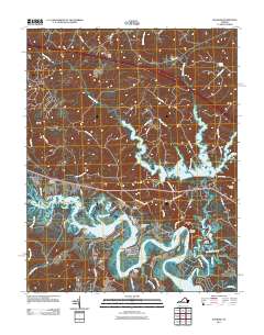 2011 Walkers2011 Print · USGSThe Virginia Peninsula east of Richmond shows a landscape of river landings and reservoir waters in the early twenty-first century. Researchers can trace the waterfront geography of Lanexa and Walkers or locate historical points like Osborn Landing and Diascund Bridge.
 - 2013 Map of Williamsburg, 2013 Print
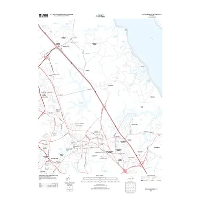 2013 Williamsburg2013 Print · USGSWilliamsburg at the start of the 2010s reveals a sophisticated blend of colonial preservation and modern infrastructure. Researchers can pinpoint historic landmarks like the Governor's Palace and Bigler Mill alongside newer neighborhoods like Skipwith Farms.
 - 2013 Map of Hog Island, 2013 Print
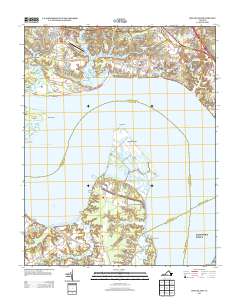 2013 Hog Island2013 Print · USGSSurry and James City Counties are shown here at the turn of the millennium, where tidal marshes meet growing residential developments. You can trace the shorelines of Hog Island, locate the rural reaches of Chippokes, and see the layout of the Williamsburg-Jamestown Airport.
 - 2013 Map of Walkers, 2013 Print
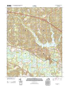 2013 Walkers2013 Print · USGSNew Kent County and the winding Chickahominy River are shown here in the early twenty-first century as modern roads meet historic river necks. Genealogists and local historians can trace the residential growth of Lanexa and Walkers or locate family landmarks like Matajunk Neck and Hicks Island.
 - 2013 Map of Claremont, 2013 Print
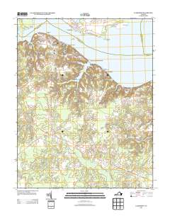 2013 Claremont2013 Print · USGSSurry County's riverfront comes into focus in the early twenty-first century, showing the transition from the James River bluffs to the deep swamps of the interior. Researchers can trace the layout of Claremont Manor, locate the Claremont Wharf, and explore the shoreline from Sunken Meadow Beach to the Pipsico Boy Scout Reservation.
 - 2013 Map of Toano, 2013 Print
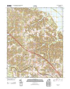 2013 Toano2013 Print · USGSThe Virginia Peninsula near the York River was characterized by dense swamp networks and crossroads settlements in the early 2000s. Genealogists and historians can trace local landmarks like Barhamsville, the State Prison Camp Number 16, and the Richardson Millpond.
 - 2013 Map of Norge, 2013 Print
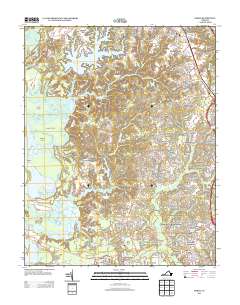 2013 Norge2013 Print · USGSThe area around Norge and Lightfoot is shown during a period of rapid residential development integrated with the historic James City County landscape. Researchers can trace the layout of contemporary neighborhoods like Powhatan Plantation and Kristiansand alongside natural landmarks like Jolly Pond and Little Creek Reservoir.
 - 2013 Map of Brandon, 2013 Print
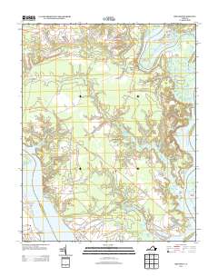 2013 Brandon2013 Print · USGSThe James and Chickahominy Rivers converge in this Tidewater landscape during the early twenty-first century. Researchers can trace historic riverfront locations like Brandon, Lower Brandon, and Chickahominy Haven, alongside inland crossings at Blanks Store and Rustic.
 - 2013 Map of Surry, 2013 Print
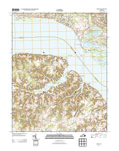 2013 Surry2013 Print · USGSThe James River corridor near Surry comes into focus in this contemporary survey of Virginia's Tidewater region. Genealogists and historians can trace the ferry route from Scotland to Jamestown, locate family sites near Old Courthouse Corners, or find Smith Fort.
 - 2013 Map of Gressitt, 2013 Print
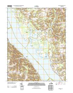 2013 Gressitt2013 Print · USGSCoastal Virginia's riverine heritage is on full display in this modern survey of the York River and its many marshy tributaries. Genealogists and local historians can trace the landings and crossroads of Gloucester County, including Allmonds Wharf, Christensons Corner, and the Bell Rock Lighthouse.
 - 2013 Map of Yorktown, 2013 Print
 2013 Yorktown2013 Print · USGSYorktown and the Lower Peninsula are shown here in the early twenty-first century, balancing modern suburban growth with significant colonial landmarks. Researchers can trace the layout of Poplar Hall Plantation, locate the Surrender Ground, or study the footprints of Lee Hall and Denbigh.
 - 2016 Map of Norge, 2016 Print
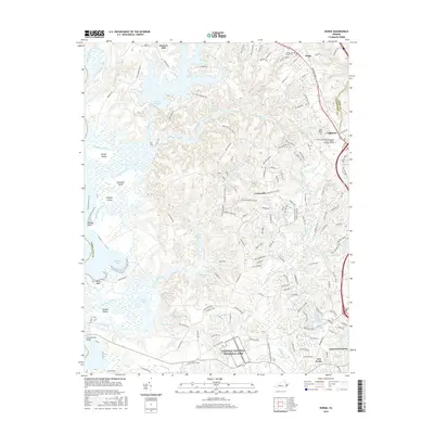 2016 Norge2016 Print · USGSJames City County and the communities along the Chickahominy River are shown here in the mid-2010s. Researchers can trace local landmarks from Warren Mill and James City Chapel Cem to the modern Five Forks crossroads.
 - 2016 Map of Brandon, 2016 Print
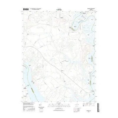 2016 Brandon2016 Print · USGSThe Tidewater region at the confluence of the James and Chickahominy Rivers was surveyed here in the mid-2010s. Local historians can trace the grounds of Brandon Plantation Cem and explore the riverfront near Chickahominy Haven and Rustic.
 - 2016 Map of Claremont, 2016 Print
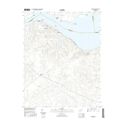 2016 Claremont2016 Print · USGSSurry County's riverfront and interior wetlands are captured in detail during this modern survey of the Tidewater region. Genealogists and local historians can locate Claremont Manor, trace the grounds of Saint Anne's Cem, or explore the reaches of Sunken Meadow Lake.
 - 2016 Map of Surry, 2016 Print
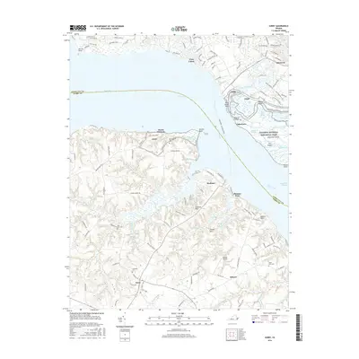 2016 Surry2016 Print · USGSThe James River corridor near Jamestown is shown here in the mid-2010s, bridging the historic settlements of Surry and James City counties. Researchers can trace land patterns near Swanns Point Plantation Cem, Scotland, and the Melville Airstrip.
 - 2016 Map of Hog Island, 2016 Print
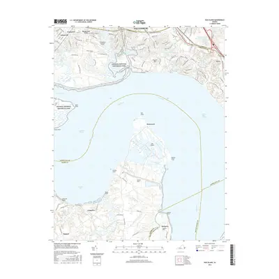 2016 Hog Island2016 Print · USGSThe lower James River region is captured here in the mid-2010s, showcasing the varied landscape between Williamsburg and Surry County. Researchers can trace land patterns from Colonial National Historical Park down to rural Highgate and the marshlands of Hog Island.
Showing maps 1-25 of 50
Frequently asked questions
- What are the different types of historical maps available for James City County?
- What is the oldest map of James City County?
- Where can I purchase historical maps of James City County for my home or office?
- Where can I download high-res historical maps of James City County?
- Are there historical topographic maps available for James City County?
- Is there historical aerial imagery available for James City County?
- Where are historical maps of James City County sourced from?