Old Maps of Steeple Chase, James City County for Genealogy
Trace your family roots with 14 historic maps of Steeple Chase. These high-res maps reveal old neighborhoods, homesites, landmarks, and streets — helping you uncover where your ancestors lived and how the area evolved over time.
- Explore historic neighborhoods: Identify where your relatives may have lived in the 1800s or 1900s.
- Compare maps over time: Trace the changes in streets, buildings, and landmarks for multi-generational research.
- Perfect for genealogy & ancestry research: Used by family historians and researchers to map out lineage and migration.
These maps are an incredible resource for exploring your personal connection to Steeple Chase's past.
Steeple Chase, James City County maps
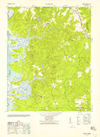
(14)- 1917 Map of Toano, 1959 Print
 1917 Toano1959 Print · USGSCovers Steeple Chase, including Lanexa, Brandon, and other nearby areas
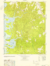
 - 1918 Map of Toano
 1918 Toano1918 Print · USGSCovers Steeple Chase, including Lanexa, Brandon, and other nearby areas3 unique versions available
 - 1943 Map of Richmond, 1972 Print
 1943 Richmond1972 Print · USGSCovers Steeple Chase, including Richmond, Hampton, and other nearby areas
 - 1949 Map of Richmond, 1951 Print
 1949 Richmond1951 Print · USGSCovers Steeple Chase, including Richmond, Hampton, and other nearby areas
 - 1952 Map of Norge, 1958 Print
 1952 Norge1958 Print · USGSCovers Steeple Chase, including Centerville, Warren Mill, and other nearby areas
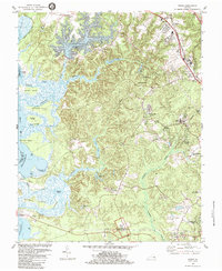
 - 1953 Map of Norge
 1953 Norge1953 Print · USGSCovers Steeple Chase, including Centerville, Warren Mill, and other nearby areas
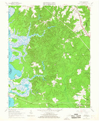
 - 1959 Map of Richmond
 1959 Richmond1959 Print · USGSCovers Steeple Chase, including Richmond, Hampton, and other nearby areas
 - 1964 Map of Richmond
 1964 Richmond1964 Print · USGSCovers Steeple Chase, including Richmond, Hampton, and other nearby areas
 - 1965 Map of Norge, 1967 Print
 1965 Norge1967 Print · USGSCovers Steeple Chase, including Centerville, Warren Mill, and other nearby areas3 unique versions available
 - 1973 Map of Richmond, 1974 Print
 1973 Richmond1974 Print · USGSCovers Steeple Chase, including Richmond, Hampton, and other nearby areas2 unique versions available
 - 1978 Map of Norge, 1983 Print
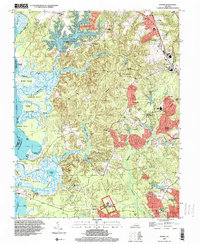
 1978 Norge1983 Print · USGSCovers Steeple Chase, including Centerville, Warren Mill, and other nearby areas
 - 1984 Map of Norge
 1984 Norge1984 Print · USGSCovers Steeple Chase, including Centerville, Warren Mill, and other nearby areas3 unique versions available
 - 1984 Map of Williamsburg, 1985 Print
 1984 Williamsburg1985 Print · USGSCovers Steeple Chase, including Hampton, Williamsburg, and other nearby areas3 unique versions available
 - 1994 Map of Norge, 2000 Print
 1994 Norge2000 Print · USGSCovers Steeple Chase, including Centerville, Warren Mill, and other nearby areas
End of results
Showing maps 1-14 of 14
Frequently asked questions
- What are the different types of historical maps available for Steeple Chase?
- What is the oldest map of Steeple Chase?
- Where can I purchase historical maps of Steeple Chase for my home or office?
- Where can I download high-res historical maps of Steeple Chase?
- Are there historical topographic maps available for Steeple Chase?
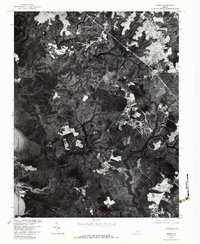
- Is there historical aerial imagery available for Steeple Chase?
- Where are historical maps of Steeple Chase sourced from?