Old Maps of Cologne, Virginia for Metal Detecting
Plan your next treasure hunt with 14 historic maps of Cologne. Find old homesites, ghost towns, trails, and gathering spots that may be lost to time — perfect for identifying promising metal detecting locations.
- Locate forgotten sites: Uncover places like long-lost settlements, abandoned rail lines, or gathering spots.
- Plan better hunts: Use map overlays combined with LiDAR or satellite views to narrow in on historically rich areas.
- Made for detectorists: Thousands of hobbyists use these maps to discover relics, coins, and hidden history.
Use these historic maps to boost your research and find new opportunities beneath the surface of Cologne.
Cologne, VA maps
(14)- 1917 Map of Urbanna
 1917 Urbanna1917 Print · USGSMiddlesex and Lancaster Counties come alive in this survey of the Virginia Tidewater during the Great War era. Researchers can trace ancestral roots through dozens of local landmarks like Christ Church, Healys Mill, and Royal Oak School.3 unique versions available
 - 1943 Map of Richmond, 1972 Print
 1943 Richmond1972 Print · USGSCoastal Virginia and the state capital are shown in detail during the mid-century era of infrastructure expansion. Genealogists and historians can trace the grounds of Richmond Nat Battlefield Park, locate the Yorktown Nat Cem, or follow the many rural routes through Amelia Court House and Tappahannock.
 - 1949 Map of Shacklefords
 1949 Shacklefords1949 Print · USGSMid-century King and Queen County comes alive in this survey of the Virginia Middle Peninsula, where the Tidewater Trail connects small rural crossroads. Genealogists can locate family-named settlements like Bakers and community hubs such as Hockley PO and Snow Hill Sch.2 unique versions available
 - 1949 Map of Richmond, 1951 Print
 1949 Richmond1951 Print · USGSCoastal Virginia in the years following World War II remained a landscape of historic river towns and expanding military bases. Genealogists and historians can trace the rail lines of the Southern Ry and locate established landmarks from Camp Lee to the remote reaches of Dragon Swamp.
 - 1959 Map of Richmond
 1959 Richmond1959 Print · USGSMid-century Virginia is captured here at its most vital rail and river junctions, from the capital city to the Chesapeake Bay. Genealogists and historians can trace the development of colonial settlements like Williamsburg and military landmarks including Fort Monroe and Camp Lee.
 - 1964 Map of Richmond
 1964 Richmond1964 Print · USGSCoastal and central Virginia are mapped during the mid-twentieth century, showing the critical intersection of rail, river, and military life. Genealogists can trace family roots through rural county seats like Amelia or find vanished coastal neighborhoods near Phoebus and Hilton Village.
 - 1965 Map of Shacklefords, 1966 Print
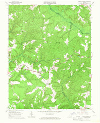 1965 Shacklefords1966 Print · USGSKing and Queen County at the mid-sixties transition is characterized by its deep creek valleys and crossroads communities. Genealogists and local historians can trace legacy sites like York Academy, Hockley Cem, and the historic Poroporone Ch near Shacklefords.4 unique versions available
 - 1973 Map of Richmond, 1974 Print
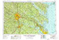 1973 Richmond1974 Print · USGSThe Virginia Tidewater and Piedmont come alive in the early seventies, showcasing a region defined by its great rivers and massive military installations. Researchers can trace the mid-century growth of Richmond or locate family sites near Amelia Court House and Highland Springs.2 unique versions available
 - 1984 Map of Tappahannock
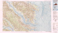 1984 Tappahannock1984 Print · USGSThe Northern Neck and Middle Peninsula of Virginia are captured in detail during the mid-1980s, showcasing the region's deep-rooted maritime and agricultural identity. Genealogists and local historians can trace family locations across the intricate shorelines of the Rappahannock River and settlements like Kilmarnock, Heathsville, and Urbanna.3 unique versions available
 - 2011 Map of Shacklefords, 2011 Print
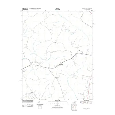 2011 Shacklefords2011 Print · USGSThe Virginia coastal plain in the early twenty-first century reveals a landscape shaped by tidal waters and rural crossroads. Local historians can trace the geography of communities like Shacklefords, Owl Trap, and the quiet grounds of Hockley Cemetery.
 - 2013 Map of Shacklefords, 2013 Print
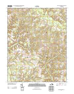 2013 Shacklefords2013 Print · USGSCoastal Virginia’s rural crossroads and swamp-fed tributaries come into focus in this early 21st-century record. Genealogists and local researchers can trace family-named sites and small settlements from Owl Trap and Shacklefords to the banks of the Poropotank River.
 - 2016 Map of Shacklefords, 2016 Print
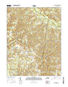 2016 Shacklefords2016 Print · USGSCoastal Virginia's rural landscape is captured here in the mid-2010s, showing the intersection of three counties among vast swamp and river systems. Researchers can trace local lineage through the Hockley Cem or explore crossroads communities like Shacklefords, Cologne, and Clancie.
 - 2019 Map of Shacklefords, 2019 Print
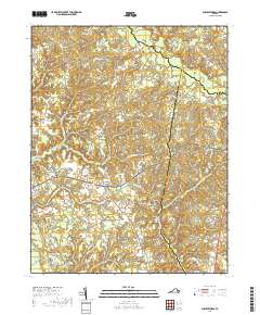 2019 Shacklefords2019 Print · USGSCoastal Virginia's rural landscape is captured here in the late 2010s at the junction of King and Queen, Gloucester, and Middlesex counties. Researchers can trace family roots through settlements like Shacklefords and Hockley, or locate the Hockley Cem near the Dragon Swamp.
 - 2022 Map of Shacklefords, 2022 Print
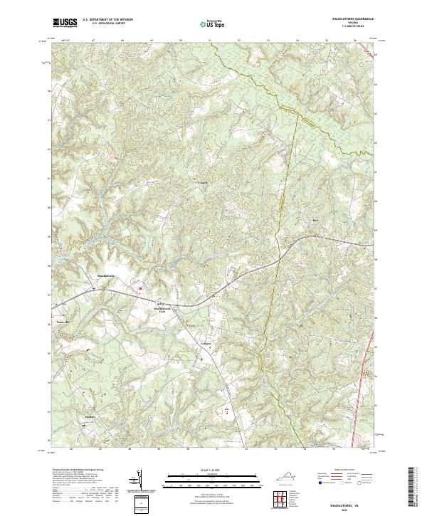 2022 Shacklefords2022 Print · USGSCoastal Virginia's Middle Peninsula is documented here in the early twenty-first century, showing the rural crossroads and marshlands where three counties meet. Genealogists and local historians can trace family locations near Shacklefords, Hockley Cem, and the winding Dragon Swamp.
End of results
Showing maps 1-14 of 14
Top cities near Cologne
Frequently asked questions
- What are the different types of historical maps available for Cologne?
- What is the oldest map of Cologne?
- Where can I purchase historical maps of Cologne for my home or office?
- Where can I download high-res historical maps of Cologne?
- Are there historical topographic maps available for Cologne?
- Is there historical aerial imagery available for Cologne?
- Where are historical maps of Cologne sourced from?