2000s (21st Century) Maps of Pennington Gap, Virginia
Explore 10 historic maps of Pennington Gap from the 2000s (21st Century). These maps offer a rare glimpse into what life looked like during the 2000s — showing old roads, neighborhoods, homes, and landmarks that have changed or disappeared over time.
Whether you're researching your family's past, planning a metal detecting trip, or studying how Pennington Gap's landscape evolved across the 2000s, these high-resolution maps are a powerful tool for exploring the history of this region.
- Focus on a specific era: All maps on this page are from the 2000s, giving you a focused view of this time period.
- See what’s changed: Compare century-old streets, trails, and buildings to today's modern landscape using overlays and satellite layers.
- Research with precision: Use these maps for genealogy, historical research, land use analysis, or educational projects.
- View, download, or print: Maps are fully viewable online in high resolution, and can be downloaded or printed for your own records.
Start exploring Pennington Gap's history through authentic maps from the 2000s. This is your window into the past.
Pennington Gap, VA maps
(10)- 2010 Map of Ben Hur, 2010 Print
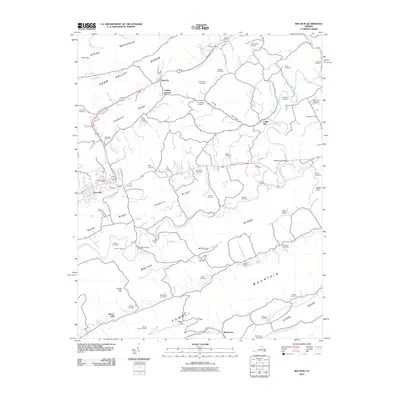 2010 Ben Hur2010 Print · USGSCovers Pennington Gap, including Jonesville, Ben Hur, and other nearby areas
 - 2011 Map of Pennington Gap, 2011 Print
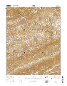
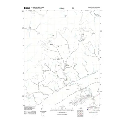 2011 Pennington Gap2011 Print · USGSCovers Pennington Gap, including Saint Charles, Penn Lee, and other nearby areas
 - 2013 Map of Ben Hur, 2013 Print
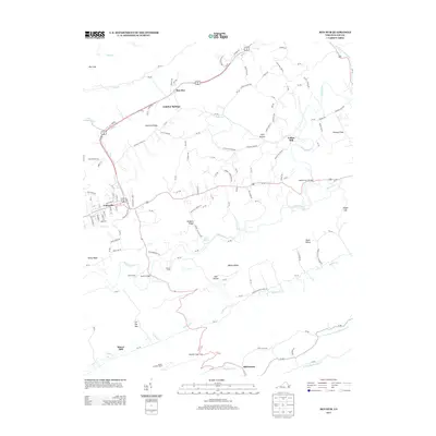 2013 Ben Hur2013 Print · USGSCovers Pennington Gap, including Jonesville, Ben Hur, and other nearby areas
 - 2013 Map of Pennington Gap, 2013 Print
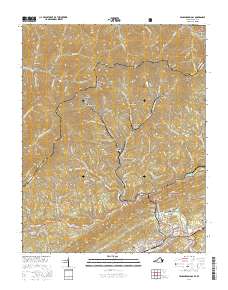
 2013 Pennington Gap2013 Print · USGSCovers Pennington Gap, including Saint Charles, Penn Lee, and other nearby areas
 - 2016 Map of Ben Hur, 2016 Print
 2016 Ben Hur2016 Print · USGSCovers Pennington Gap, including Jonesville, Ben Hur, and other nearby areas
 - 2016 Map of Pennington Gap, 2016 Print
 2016 Pennington Gap2016 Print · USGSCovers Pennington Gap, including Saint Charles, Penn Lee, and other nearby areas
 - 2019 Map of Pennington Gap, 2019 Print
 2019 Pennington Gap2019 Print · USGSCovers Pennington Gap, including Saint Charles, Penn Lee, and other nearby areas
 - 2019 Map of Ben Hur, 2019 Print
 2019 Ben Hur2019 Print · USGSCovers Pennington Gap, including Jonesville, Ben Hur, and other nearby areas
 - 2022 Map of Pennington Gap, 2022 Print
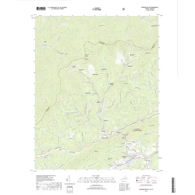
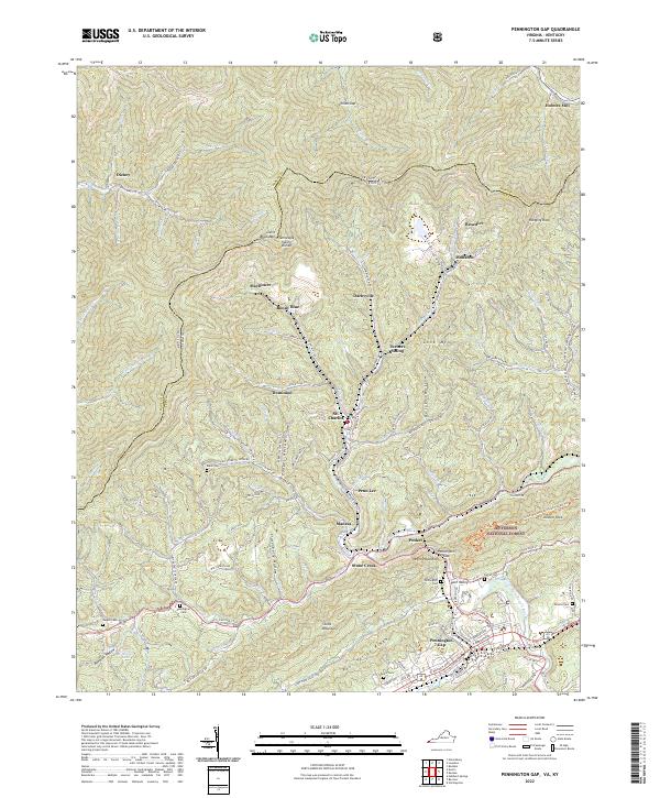 2022 Pennington Gap2022 Print · USGSPennington Gap and the surrounding Appalachian coalfields are detailed in this 2022 survey of the Virginia and Kentucky border. Genealogists and historians can locate family burial sites like Baker Cem and Napier Cem or trace settlements like St. Charles and Benedict.
 - 2022 Map of Ben Hur, 2022 Print
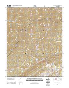
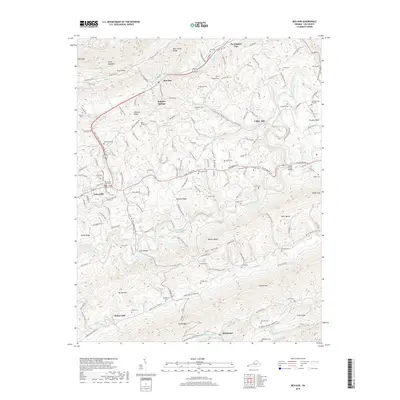
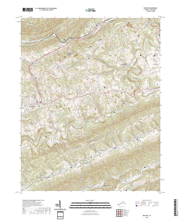 2022 Ben Hur2022 Print · USGSLee County in the early twenty-first century remains defined by its traditional mountain settlements and river valleys. Genealogists and local historians can trace family land across numerous burial sites like Hill Cem and Rutherford Cem while identifying old mill locations at Collier Mill and Kincer Mill.
End of results
Showing maps 1-10 of 10
Top cities near Pennington Gap
- Big Stone Gap historical maps
- Cumberland historical maps
- Appalachia historical maps
- Sneedville historical maps
- Dryden historical maps
- Jonesville historical maps
See more
Frequently asked questions
- What are the different types of historical maps available for Pennington Gap?
- What is the oldest map of Pennington Gap?
- Where can I purchase historical maps of Pennington Gap for my home or office?
- Where can I download high-res historical maps of Pennington Gap?
- Are there historical topographic maps available for Pennington Gap?
- Is there historical aerial imagery available for Pennington Gap?
- Where are historical maps of Pennington Gap sourced from?