Old Maps of Alexandra's Grove, Virginia for Genealogy
Trace your family roots with 19 historic maps of Alexandra's Grove. These high-res maps reveal old neighborhoods, homesites, landmarks, and streets — helping you uncover where your ancestors lived and how the area evolved over time.
- Explore historic neighborhoods: Identify where your relatives may have lived in the 1800s or 1900s.
- Compare maps over time: Trace the changes in streets, buildings, and landmarks for multi-generational research.
- Perfect for genealogy & ancestry research: Used by family historians and researchers to map out lineage and migration.
These maps are an incredible resource for exploring your personal connection to Alexandra's Grove's past.
Alexandra's Grove, VA maps
(19)- 1884 Map of Harpers Ferry
 1884 Harpers Ferry1884 Print · USGSThe confluence of the Potomac and Shenandoah rivers is captured in the mid-1880s, documenting a landscape of strategic gaps and vital transit corridors. Researchers can trace the path of the Chesapeake and Ohio Canal and locate historic river crossings like Conrad Ferry and Castleman Ferry.
 - 1891 Map of Harpers Ferry
 1891 Harpers Ferry1891 Print · USGSThe tri-state borderlands of the Potomac and Shenandoah valleys were a vital hub of transport and trade in the late 1800s. Researchers can trace historic river crossings like Castlemans Ferry, follow the route of the Chesapeake and Ohio Canal, or locate family-named settlements like Oatlands and Taylorstown.
 - 1893 Map of Harpers Ferry, 1898 Print
 1893 Harpers Ferry1898 Print · USGSThe tri-state region of the Potomac and Shenandoah valleys is captured here in the late nineteenth century, showing a landscape defined by water and rail. Trace the historic Chesapeake and Ohio Canal or locate local landmarks like Snyder Mills and Harpers Ferry.7 unique versions available
 - 1944 Map of Leesburg
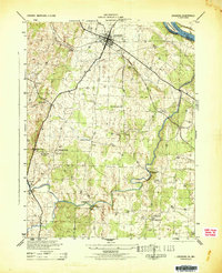 1944 Leesburg1944 Print · USGSLoudoun County, Virginia, is captured in the mid-1940s as a landscape of crossroads, mills, and riverside farms. Genealogists and historians can trace old homesteads and landmarks like Oatlands, the Prison Labor Camp No 2, and the C & O Canal (Abandoned).
 - 1948 Map of Baltimore
 1948 Baltimore1948 Print · USGSMaryland and Pennsylvania crossroads are captured in the late 1940s, showing a landscape defined by historic rail lines and major military installations. Genealogists can trace family connections in Gettysburg, Westminster, and near the U.S. Naval Academy in Annapolis.2 unique versions available
 - 1952 Map of Leesburg, 1960 Print
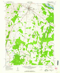 1952 Leesburg1960 Print · USGSLoudoun County is shown in the early fifties as a rural landscape centered on the crossroads of the Washington and Old Dominion rail line. Genealogists can trace local landmarks like Oatlands, find country schools such as Douglas Sch, and locate old river crossings including Murrays Ford Bridge.
 - 1954 Map of Baltimore
 1954 Baltimore1954 Print · USGSThe Mid-Atlantic region in the early fifties shows a landscape of growing suburban centers and heavy rail corridors. Trace mid-century transit networks and military landmarks from the Aberdeen Proving Ground to the Gettysburg National Military Park.
 - 1956 Map of Baltimore
 1956 Baltimore1956 Print · USGSMid-century Maryland and Pennsylvania are captured here during a period of massive suburban and military growth across the Chesapeake region. Genealogists and historians can trace the rail corridors of the Baltimore & Ohio RR and locate landmarks like Fort McHenry or the Aberdeen Proving Ground.
 - 1957 Map of Baltimore, 1964 Print
 1957 Baltimore1964 Print · USGSMaryland and Southern Pennsylvania are shown during the mid-century expansion of the Baltimore-Washington corridor. Researchers can trace the extensive rail lines of the Baltimore & Ohio RR and locate sites like Fort Detrick and Gettysburg National Military Park.5 unique versions available
 - 1961 Map of Baltimore
 1961 Baltimore1961 Print · USGSMaryland and Pennsylvania are captured at a mid-century peak of industrial and military expansion. Genealogists and historians can trace rail corridors like the Western Maryland Ry or locate regional landmarks such as Camp Detrick and Kent Island.
 - 1968 Map of Leesburg, 1970 Print
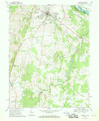 1968 Leesburg1970 Print · USGSLoudoun County is captured in the late sixties as a pastoral landscape on the verge of change. Genealogists and local historians can trace family-named landmarks and historic hubs like Oatlands, Evergreen Mills, and Leesburg.5 unique versions available
 - 1984 Map of Frederick, 1985 Print
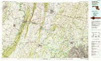 1984 Frederick1985 Print · USGSMaryland's Piedmont and the Potomac River valley are shown here in the mid-eighties as suburban growth began to meet historic rural landscapes. Genealogists and historians can trace the paths of the Baltimore and Ohio RR or locate the boundaries of Antietam National Battlefield and Fort Detrick.
 - 1989 Map of Baltimore
 1989 Baltimore1989 Print · USGSThe Mid-Atlantic corridor in the late eighties is captured here, from the Baltimore harbor to the Blue Ridge foothills. Researchers can trace the sprawling footprints of Aberdeen Proving Ground, the historic grounds of Gettysburg National Military Park, and the winding Susquehanna River.
 - 1994 Map of Leesburg, 1998 Print
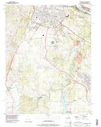 1994 Leesburg1998 Print · USGSLeesburg and the surrounding Loudoun County countryside are captured here in the mid-1990s as the region balanced its rural roots with modern growth. Researchers can trace historic sites like Oatlands and Balls Bluff Battlefield Regional Park alongside the emerging W&OD Trail.
 - 2011 Map of Leesburg, 2011 Print
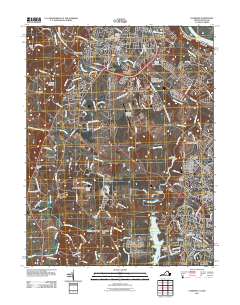 2011 Leesburg2011 Print · USGSLeesburg and the surrounding Piedmont area of Loudoun County appear in this modern survey during a period of significant growth. Genealogists can locate several historic burial sites like Old Saint James Cemetery or trace landmarks such as Oatlands and Evergreen Mills.
 - 2013 Map of Leesburg, 2013 Print
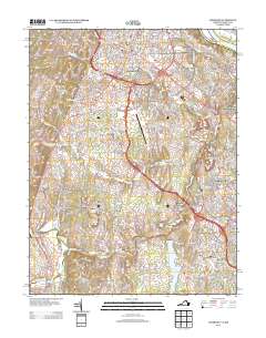 2013 Leesburg2013 Print · USGSLeesburg and its southern environs show a blend of rapid suburban growth and deep-rooted rural history during this era. Researchers can trace the evolution of old crossroads and estates like Oatlands, Evergreen Mills, and Gleedsville as modern developments begin to surround them.
 - 2016 Map of Leesburg, 2016 Print
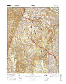 2016 Leesburg2016 Print · USGSLoudoun County underwent significant suburban expansion in the early twenty-first century as historic rural hubs transitioned into major residential centers. Researchers can trace local heritage through landmarks like Old Stone Church Cem, the Goose Creek Reservoir, and Harrison Island on the Potomac River.
 - 2019 Map of Leesburg, 2019 Print
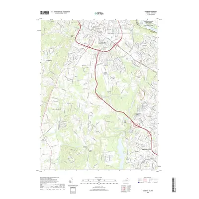 2019 Leesburg2019 Print · USGSLeesburg and the surrounding Piedmont landscape are shown here during a period of significant suburban growth. Researchers can locate historic sites such as the Old Stone Church Methodist Cem or trace the path of Goose Creek past Evergreen Mills.
 - 2022 Map of Leesburg, 2022 Print
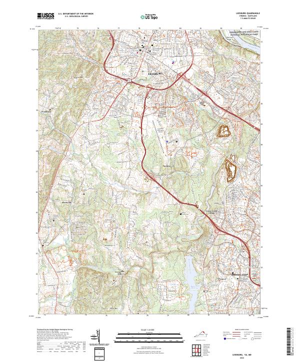 2022 Leesburg2022 Print · USGSLoudoun County near the turn of the 2020s shows a landscape where modern suburban growth meets deeply rooted history. Researchers can identify numerous family burial sites like the Nixon Family Cem and Etcher Family Cem alongside established communities like Gleedsville and Waxpool.
End of results
Showing maps 1-19 of 19
Frequently asked questions
- What are the different types of historical maps available for Alexandra's Grove?
- What is the oldest map of Alexandra's Grove?
- Where can I purchase historical maps of Alexandra's Grove for my home or office?
- Where can I download high-res historical maps of Alexandra's Grove?
- Are there historical topographic maps available for Alexandra's Grove?
- Is there historical aerial imagery available for Alexandra's Grove?
- Where are historical maps of Alexandra's Grove sourced from?