Old Maps of Plantersville, Virginia for Hiking & Exploration
Hike through history with 12 historic maps of Plantersville. Explore old trails, ghost towns, and forgotten backroads — perfect for outdoor adventurers and local explorers.
- Rediscover forgotten places: Map out old mining camps, roads, and footpaths that no longer exist on modern maps.
- Layer with modern tools: Combine with LiDAR or satellite views to plan hikes through historical terrain.
- Made for exploration: Popular among hikers, overlanders, and local history lovers.
Use these maps to find adventure and explore the hidden past of Plantersville.
Plantersville, VA maps
(12)- 1953 Map of Greensboro, 1981 Print
 1953 Greensboro1981 Print · USGSThe Piedmont borderlands of North Carolina and Virginia show a landscape defined by new reservoirs and old rail lines. Trace family roots and the changing river geography through Elon College, the John H Kerr Reservoir, and South Boston.
 - 1954 Map of Greensboro
 1954 Greensboro1954 Print · USGSThe Piedmont borderlands of North Carolina and Virginia come alive in this mid-fifties study of a region defined by its rivers and rails. Researchers can trace the growing Buggs Island Lake or follow the paths of the Southern Ry and Seaboard Air Line RR through towns like Oxford and Reidsville.
 - 1955 Map of Chase City, 1956 Print
 1955 Chase City1956 Print · USGSChase City and the surrounding rural landscapes of Mecklenburg and Lunenburg counties are captured here in the mid-fifties. Genealogists and local historians can trace family roots through sites like Loves Mill, Tussekiah Ch, and Blevins Corner.
 - 1962 Map of Greensboro
 1962 Greensboro1962 Print · USGSThe Piedmont region along the Virginia and North Carolina border comes alive in the early 1960s, showing a landscape defined by industry and new reservoirs. Trace the path of the Virginian RR or explore the early development of Greensboro and Durham.
 - 1966 Map of Greensboro
 1966 Greensboro1966 Print · USGSThe North Carolina and Virginia Piedmont thrives during the mid-sixties, showcasing a landscape of textile hubs and expanding river reservoirs. Researchers can trace the rail corridors of the Southern Railway, find local landmarks like Elon College, or locate the extensive Camp Butner Military Reservation.
 - 1966 Map of Fort Mitchell, 1968 Print
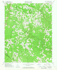 1966 Fort Mitchell1968 Print · USGSLunenburg County rural life in the mid-1960s was centered around remote crossroads, country churches, and the steel of the Southern railroad. Researchers can trace old family landmarks and community hubs like Wallaces Store, Salem Ch, and Plantersville.2 unique versions available
 - 1984 Map of South Boston, 1985 Print
 1984 South Boston1985 Print · USGSSouthside Virginia and the northern border of North Carolina are defined by water and rail in the mid-1980s. Genealogists and historians can trace the development of riverside towns like Clarksville or follow the legacy of the Norfolk and Western and Southern railroads through Chase City and Halifax.
 - 2011 Map of Fort Mitchell, 2011 Print
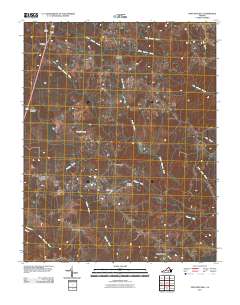 2011 Fort Mitchell2011 Print · USGSLunenburg County remains a landscape of traditional crossroads and river branches in the early twenty-first century. Genealogists and local historians can trace family-named sites and rural hamlets like Plantersville, Friendship Cemetery, and Kells Corner.
 - 2013 Map of Fort Mitchell, 2013 Print
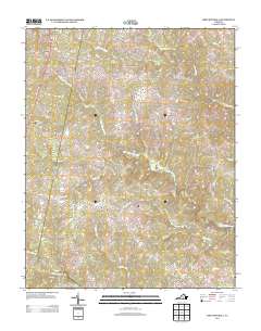 2013 Fort Mitchell2013 Print · USGSLunenburg County's rural road networks and river systems are shown here in the early twenty-first century. Researchers can trace historic family lands near Fort Mitchell, the winding banks of the Middle Meherrin River, and crossroads like Blevins Corner.
 - 2016 Map of Fort Mitchell, 2016 Print
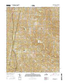 2016 Fort Mitchell2016 Print · USGSLunenburg County's rolling Southside landscape comes into focus during the mid-2010s, showing the rural communities that anchored this region for generations. Researchers can trace family sites near Friendship Cem or locate old crossings along the Middle Meherrin River and Crupper Run.
 - 2019 Map of Fort Mitchell, 2019 Print
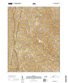 2019 Fort Mitchell2019 Print · USGSNear the intersection of Charlotte, Lunenburg, and Mecklenburg counties, this modern survey shows a landscape deeply shaped by the Meherrin River forks. Genealogists can locate family landmarks like Friendship Cem, Gregory Cem, and the rural crossroads of Plantersville.
 - 2022 Map of Fort Mitchell, 2022 Print
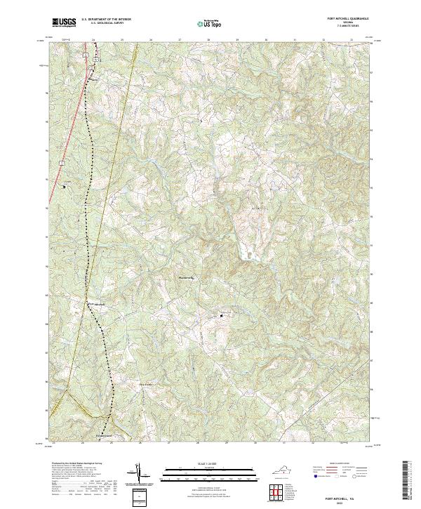 2022 Fort Mitchell2022 Print · USGSLunenburg County at the start of the 2020s remains a landscape of historic crossroads and river-fed ridges. Researchers can trace local lineage through Friendship Cem or explore the rural hubs of Fort Mitchell, Five Forks, and Ontario.
End of results
Showing maps 1-12 of 12
Top cities near Plantersville
- Chase City historical maps
- Victoria historical maps
- Keysville historical maps
- Drakes Branch historical maps
- Charlotte Court House historical maps
- Fairview historical maps
See more
Frequently asked questions
- What are the different types of historical maps available for Plantersville?
- What is the oldest map of Plantersville?
- Where can I purchase historical maps of Plantersville for my home or office?
- Where can I download high-res historical maps of Plantersville?
- Are there historical topographic maps available for Plantersville?
- Is there historical aerial imagery available for Plantersville?
- Where are historical maps of Plantersville sourced from?