Old Maps of Timbuctu, Virginia
Explore 12 old maps of Timbuctu, spanning from 1953 to today. These high-resolution historic maps reveal how streets, neighborhoods, landmarks, and natural features evolved over time — perfect for genealogy, metal detecting, research, and local history exploration.
What you can do with these maps:
- See how Timbuctu changed over time: Compare historical maps to modern-day views to trace roads, homesites, rail lines & more.
- View detailed metadata: Each map includes creators, publishers, year, scale, and archive source.
- Overlay maps with satellite & LiDAR: Visualize the past alongside modern tools to explore terrain & human change.
- Trusted historical sources: Maps sourced from the USGS, Library of Congress, and other archives.
- Access maps your way: View online, download high-res files, or order prints for personal or research use.
Start exploring old maps of Timbuctu to uncover forgotten places, hidden landmarks, and the deep history beneath your feet.
Timbuctu, VA maps
(12)- 1953 Map of Greensboro, 1981 Print
 1953 Greensboro1981 Print · USGSThe Piedmont borderlands of North Carolina and Virginia show a landscape defined by new reservoirs and old rail lines. Trace family roots and the changing river geography through Elon College, the John H Kerr Reservoir, and South Boston.
 - 1954 Map of Greensboro
 1954 Greensboro1954 Print · USGSThe Piedmont borderlands of North Carolina and Virginia come alive in this mid-fifties study of a region defined by its rivers and rails. Researchers can trace the growing Buggs Island Lake or follow the paths of the Southern Ry and Seaboard Air Line RR through towns like Oxford and Reidsville.
 - 1962 Map of Greensboro
 1962 Greensboro1962 Print · USGSThe Piedmont region along the Virginia and North Carolina border comes alive in the early 1960s, showing a landscape defined by industry and new reservoirs. Trace the path of the Virginian RR or explore the early development of Greensboro and Durham.
 - 1966 Map of Greensboro
 1966 Greensboro1966 Print · USGSThe North Carolina and Virginia Piedmont thrives during the mid-sixties, showcasing a landscape of textile hubs and expanding river reservoirs. Researchers can trace the rail corridors of the Southern Railway, find local landmarks like Elon College, or locate the extensive Camp Butner Military Reservation.
 - 1968 Map of South Hill SE, 1972 Print
 1968 South Hill SE1972 Print · USGSThe Roanoke River valley is shown transformed by the waters of Lake Gaston in the late sixties as the border region adapted to its new shoreline. Genealogists can trace numerous rural congregations and crossroads, including Barker Crossroads, Five Forks, and Holly Grove Ch.3 unique versions available
 - 1977 Map of South Hill SE, 1979 Print
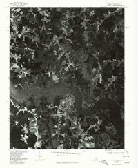 1977 South Hill SE1979 Print · USGSMecklenburg County and the borderlands of North Carolina come into focus in the late seventies as the shoreline of Lake Gaston reshapes the land. Researchers can trace the development of lakeside tracts near Joyceville and the rural road junctions at Five Forks.
 - 1984 Map of South Boston, 1985 Print
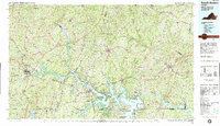 1984 South Boston1985 Print · USGSSouthside Virginia and the northern border of North Carolina are defined by water and rail in the mid-1980s. Genealogists and historians can trace the development of riverside towns like Clarksville or follow the legacy of the Norfolk and Western and Southern railroads through Chase City and Halifax.
 - 2010 Map of South Hill SE, 2010 Print
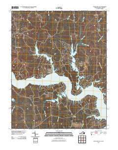 2010 South Hill SE2010 Print · USGSThe Roanoke River corridor in southern Virginia is captured here in the early twenty-first century, showing a landscape reshaped by the rising waters of Lake Gaston. Researchers can trace the modern shoreline and locate rural hubs like Joyceville, Five Forks, and Cedar Grove.
 - 2013 Map of South Hill SE, 2013 Print
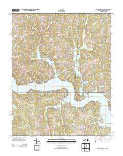 2013 South Hill SE2013 Print · USGSMecklenburg County and the Virginia-North Carolina border are defined by the shoreline of Lake Gaston in this early twenty-first-century survey. Trace modern lakeside developments and local landmarks like the Nocarva Airport or the rural junctions at Barker Crossroads and Five Forks.
 - 2016 Map of South Hill SE, 2016 Print
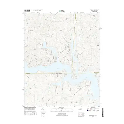 2016 South Hill SE2016 Print · USGSThe Virginia and North Carolina borderlands are defined by the expansive waters of Lake Gaston in this recent survey. Researchers can trace the developed shoreline near Bracey and find rural landmarks like Barker Crossroads and the Nocarva Airport.
 - 2019 Map of South Hill SE, 2019 Print
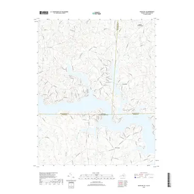 2019 South Hill SE2019 Print · USGSThe Virginia and North Carolina borderlands are defined by the waters of the Roanoke River valley in the late twenty-teens. Genealogists and local historians can trace the intersection of four counties around Lake Gaston and small rural communities like Joyceville and Five Forks.
 - 2022 Map of South Hill SE, 2022 Print
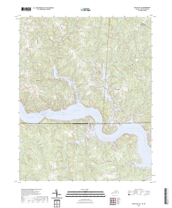 2022 South Hill SE2022 Print · USGSThe interstate borderlands of Virginia and North Carolina are captured here in the early twenty-first century, centered on the sprawling reaches of Lake Gaston. Researchers can trace local landmarks and aviation history at the Nocarva Airport or locate family-named routes near Bracey and Five Forks.
End of results
Showing maps 1-12 of 12
Top cities near Timbuctu
- South Hill historical maps
- Bracey historical maps
- Norlina historical maps
- Lawrenceville historical maps
- Warrenton historical maps
- La Crosse historical maps
See more
Frequently asked questions
- What are the different types of historical maps available for Timbuctu?
- What is the oldest map of Timbuctu?
- Where can I purchase historical maps of Timbuctu for my home or office?
- Where can I download high-res historical maps of Timbuctu?
- Are there historical topographic maps available for Timbuctu?
- Is there historical aerial imagery available for Timbuctu?
- Where are historical maps of Timbuctu sourced from?