Old Maps of Rosehill Addition, Christiansburg for Hiking & Exploration
Hike through history with 13 historic maps of Rosehill Addition. Explore old trails, ghost towns, and forgotten backroads — perfect for outdoor adventurers and local explorers.
- Rediscover forgotten places: Map out old mining camps, roads, and footpaths that no longer exist on modern maps.
- Layer with modern tools: Combine with LiDAR or satellite views to plan hikes through historical terrain.
- Made for exploration: Popular among hikers, overlanders, and local history lovers.
Use these maps to find adventure and explore the hidden past of Rosehill Addition.
Rosehill Addition, Christiansburg maps
(13)- 1890 Map of Christiansburg
 1890 Christiansburg1890 Print · USGSSouthwestern Virginia in the late nineteenth century centers on the emerging rail and resort economy. Trace the Norfolk and Western Railroad through Christiansburg and find historic resorts like Alleghany Springs.10 unique versions available
 - 1932 Map of Blacksburg
 1932 Blacksburg1932 Print · USGSMontgomery and Floyd Counties are documented here in the early thirties as the regional rail and coal economy thrived. Genealogists can trace family homesteads near landmarks like the Virginia Polytechnic Institute, Merrimac Mines, and Christiansburg Industrial Sch.2 unique versions available
 - 1937 Map of Blacksburg
 1937 Blacksburg1937 Print · USGSMontgomery County was a hub of higher education, coal mining, and rail transport in the 1930s. Researchers can trace the early grounds of the Virginia Polytechnic Institute and locate numerous rural landmarks like Merrimac Mines, Kanodee Mill, and Yellow Sulphur Springs.3 unique versions available
 - 1955 Map of Bluefield
 1955 Bluefield1955 Print · USGSThe Central Appalachian borderlands come alive in the mid-fifties, showing the coal and rail networks connecting Bluefield to Beckley. Researchers can trace the industrial landscape of the New River Ordnance Plant and the terrain of Burkes Garden.
 - 1957 Map of Bluefield, 1967 Print
 1957 Bluefield1967 Print · USGSThe heart of Central Appalachia in the mid-fifties is defined by the winding rail lines and river valleys of the coalfields. Researchers can trace the industrial footprints of towns like Welch and Princeton or locate landmarks such as the Bluestone Reservoir and Claytor Lake.2 unique versions available
 - 1961 Map of Bluefield
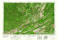 1961 Bluefield1961 Print · USGSThe coalfields and mountain ridges of southern West Virginia and southwest Virginia are captured in the early sixties. Genealogists can trace family ties through rail-linked towns like Princeton and Richlands or along the shores of Bluestone Reservoir.
 - 1965 Map of Riner, 1968 Print
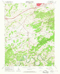 1965 Riner1968 Print · USGSMontgomery and Floyd counties in the mid-sixties are defined by the winding Little River and the quiet valley roads around Riner. Genealogists and local historians can trace rural life through numerous landmarks like Auburn High Sch, Camp Carysbrook, and Sidney Ch.3 unique versions available
 - 1982 Map of Radford, 1983 Print
 1982 Radford1983 Print · USGSThe New River Valley and surrounding highlands are shown during a period of significant regional growth in the early eighties. Genealogists and historians can trace the development of VPI, locate historic sites like Yellow Sulphur Springs, and follow the Norfolk and Western rail lines through the gaps.2 unique versions available
 - 2010 Map of Riner, 2010 Print
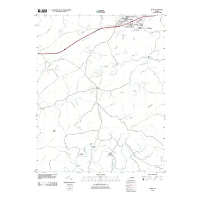 2010 Riner2010 Print · USGSThe outskirts of Christianburg and the rural village of Riner are captured here during a period of steady residential growth. Researchers can trace land development in Highland Park and locate historic river crossings like Broad Shoals Ford or landmarks like Altizer Bridge.
 - 2013 Map of Riner, 2013 Print
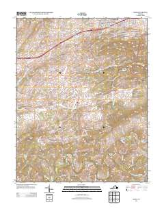 2013 Riner2013 Print · USGSMontgomery County suburban growth meets the rural Blue Ridge plateau in this early twenty-first-century survey. You can trace family landmarks and river crossings from the residential Shadeland Addition down to Broad Shoals Ford and Camp Carysbrook on the Little River.
 - 2016 Map of Riner, 2016 Print
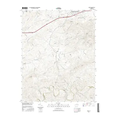 2016 Riner2016 Print · USGSMontgomery and Floyd counties come alive in this mid-2010s survey, showing the landscape from Christiansburg down to the Little River. Researchers can trace old family sites near Sunset Cemetery or find historic crossings like the Altizer Bridge.
 - 2019 Map of Riner, 2019 Print
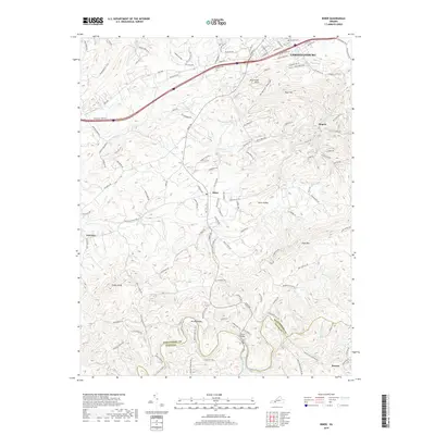 2019 Riner2019 Print · USGSThe northern limits of CHRISTIANSBURG meet the rural reaches of Montgomery County in this recent survey. Local researchers can trace the winding course of the Little River, locate the Sunset Cem, and identify old crossing points like Altizer Bridge.
 - 2022 Map of Riner, 2022 Print
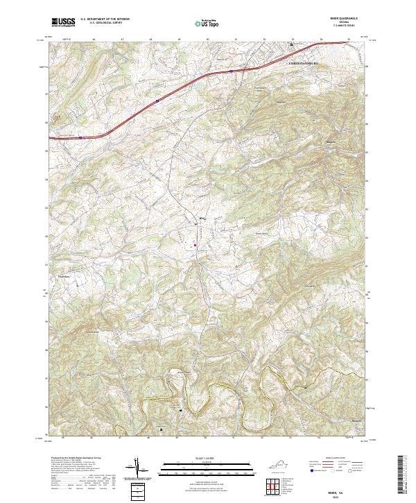 2022 Riner2022 Print · USGSThe foothills of the Blue Ridge southwest of Christiansburg are shown in this contemporary study of Montgomery and Floyd counties. Researchers can locate family landmarks like Sutphin Cem and small communities such as Broad Shoals and Union Valley.
End of results
Showing maps 1-13 of 13
Frequently asked questions
- What are the different types of historical maps available for Rosehill Addition?
- What is the oldest map of Rosehill Addition?
- Where can I purchase historical maps of Rosehill Addition for my home or office?
- Where can I download high-res historical maps of Rosehill Addition?
- Are there historical topographic maps available for Rosehill Addition?
- Is there historical aerial imagery available for Rosehill Addition?
- Where are historical maps of Rosehill Addition sourced from?