Old Maps of Shipman, Virginia for Hiking & Exploration
Hike through history with 13 historic maps of Shipman. Explore old trails, ghost towns, and forgotten backroads — perfect for outdoor adventurers and local explorers.
- Rediscover forgotten places: Map out old mining camps, roads, and footpaths that no longer exist on modern maps.
- Layer with modern tools: Combine with LiDAR or satellite views to plan hikes through historical terrain.
- Made for exploration: Popular among hikers, overlanders, and local history lovers.
Use these maps to find adventure and explore the hidden past of Shipman.
Shipman, VA maps
(13)- 1892 Map of Buckingham
 1892 Buckingham1892 Print · USGSCentral Virginia in the late nineteenth century was defined by its river-and-rail economy along the James River. Genealogists and historians can trace the foundations of local life through the Kleinburg School, the Soap Stone Quarry, and the Virginia Midland Railroad.7 unique versions available
 - 1947 Map of Roanoke, 1948 Print
 1947 Roanoke1948 Print · USGSCentral Virginia in the late 1940s reveals a region defined by its great mountain ridges and the powerful river-and-rail economy connecting Roanoke to Lynchburg. Researchers can trace the path of the Virginian RR and locate historic county seats like Charlotte Court House.2 unique versions available
 - 1959 Map of Roanoke
 1959 Roanoke1959 Print · USGSCentral Virginia and the Blue Ridge appear in great detail during the late fifties, showcasing the transition from mountain industry to Piedmont farmland. Trace the path of the Norfolk and Western railroad or find old river towns like Appomattox and Amelia Court House.
 - 1961 Map of Shipman, 1963 Print
 1961 Shipman1963 Print · USGSNelson County's rugged ridges and the James River corridor are captured here in the early 1960s, showing a landscape defined by rail lines and rural community life. Researchers can trace historic church sites like White Rock Ch, the rail hub at Gladstone, and the grounds of the County Training Sch.2 unique versions available
 - 1963 Map of Roanoke
 1963 Roanoke1963 Print · USGSCentral Virginia and the Blue Ridge front appear here in the early sixties, caught between their deep railroad roots and new postwar developments. Genealogists and historians can trace the rail lines of the Norfolk and Western through towns like Bedford and Altavista, or locate family landmarks near Smith Mountain Lake.
 - 1969 Map of Shipman, 1971 Print
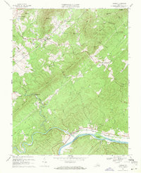 1969 Shipman1971 Print · USGSNelson County and the northern edge of Buckingham County are captured here in the late sixties as rail lines still dictated the flow of river-valley commerce. Genealogists and local historians can trace family-named gaps and rural hubs like Variety Mills, Shipman, and Ryan Hall Sch.4 unique versions available
 - 1971 Map of Roanoke, 1977 Print
 1971 Roanoke1977 Print · USGSThe Virginia Piedmont and Blue Ridge mountains meet in this early 1970s landscape of river valleys and rail hubs. Researchers can trace historic transportation routes and landmarks like the Appomattox Court House Nat Hist Pk, the Peaks of Otter, and Amelia Court House.2 unique versions available
 - 1979 Map of Dillwyn, 1982 Print
 1979 Dillwyn1982 Print · USGSCentral Virginia in the late seventies is defined by the winding James River and the rural communities of the Piedmont. Trace old transportation corridors and family-named ridges from Dillwyn and Buckingham to the Blue Ridge foothills.
 - 2010 Map of Shipman, 2010 Print
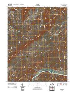 2010 Shipman2010 Print · USGSThe James River and Tye River meet at the historic settlement of Norwood during the early twenty-first century. Genealogists and researchers can trace local family land near Variety Mills, Edge Hill, and the ridges of Buffalo Ridge.
 - 2013 Map of Shipman, 2013 Print
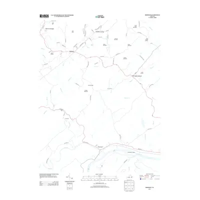 2013 Shipman2013 Print · USGSNelson County's rolling hills and river valleys are captured here in the early twenty-first century as the landscape transitioned toward modern residential growth. Genealogists and hikers can trace the paths through Canada Gap, locate the community at Variety Mills, or explore the banks of the James River near Norwood.
 - 2016 Map of Shipman, 2016 Print
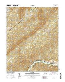 2016 Shipman2016 Print · USGSNelson County's transition from river lowlands to high peaks is detailed here in the mid-2010s. Researchers can trace family-named landmarks and rural clusters from the banks of the James River at Norwood to high points like High Peak and Findlay Mtn.
 - 2019 Map of Shipman, 2019 Print
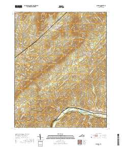 2019 Shipman2019 Print · USGSThe foothills and river valleys of Nelson County are documented here as they appeared in 2019. Local historians can trace family-named hollows and peaks from Shipman down to the James River, including Sally Powell Hollow, Findlay Mtn, and Cunninghams Island.
 - 2022 Map of Shipman, 2022 Print
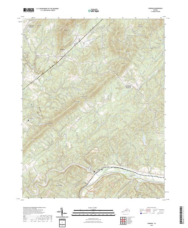 2022 Shipman2022 Print · USGSNelson County's riverfront and mountain gaps are documented in this recent survey of the James and Tye River valleys. Researchers can locate family landmarks like Denton Graveyard, the Bethel Church of the Brethren Cem, and the community of Shipman.
End of results
Showing maps 1-13 of 13
Top cities near Shipman
- Amherst historical maps
- Nellysford historical maps
- Arrington historical maps
- Lovingston historical maps
- Wintergreen historical maps
Frequently asked questions
- What are the different types of historical maps available for Shipman?
- What is the oldest map of Shipman?
- Where can I purchase historical maps of Shipman for my home or office?
- Where can I download high-res historical maps of Shipman?
- Are there historical topographic maps available for Shipman?
- Is there historical aerial imagery available for Shipman?
- Where are historical maps of Shipman sourced from?