Old Maps of New Kent County, Virginia for Hiking & Exploration
Hike through history with 105 historic maps of New Kent County. Explore old trails, ghost towns, and forgotten backroads — perfect for outdoor adventurers and local explorers.
- Rediscover forgotten places: Map out old mining camps, roads, and footpaths that no longer exist on modern maps.
- Layer with modern tools: Combine with LiDAR or satellite views to plan hikes through historical terrain.
- Made for exploration: Popular among hikers, overlanders, and local history lovers.
Use these maps to find adventure and explore the hidden past of New Kent County.
New Kent County, VA maps
(105)- 1906 Map of Williamsburg
 1906 Williamsburg1906 Print · USGSCoastal Virginia at the turn of the century reveals a landscape of river steamboats and early rail lines near the York River. Researchers can trace historic church sites like Abingdon Church, colonial-era Powhatans House Ruins, and the infrastructure of Bigler Mill.6 unique versions available
 - 1917 Map of Toano, 1959 Print
 1917 Toano1959 Print · USGSCoastal Virginia during the early twentieth century shows a landscape where rail lines and steamboat routes intersect. Genealogists can trace family roots through numerous sites like Hickory Neck Church, One Eye School, and Barrets Ferry.
 - 1918 Map of Charles City
 1918 Charles City1918 Print · USGSCoastal Virginia at the end of the Great War reveals a landscape of riverfront wharves and rural schoolhouses. Genealogists can trace family roots through sites like the Samaria Indian School, Parish Hill Church, and Harrisons Landing.4 unique versions available
 - 1918 Map of Toano
 1918 Toano1918 Print · USGSThe Virginia Peninsula comes alive in the years following the Great War, showing a landscape of river landings and rail-side villages. Researchers can trace the path of the Chesapeake and Ohio through Toano or locate early rural schoolhouses like One Eye School and Brickbat School.3 unique versions available
 - 1919 Map of New Kent
 1919 New Kent1919 Print · USGSThe Virginia tidewater comes to life in the years following the Great War, showing the convergence of the Mattaponi and Pamunkey rivers. Genealogists can trace family roots through the Pamunkey Indian Reservation, West Point, and rural landmarks like Mattaponi Church or Frazier Ferry.3 unique versions available
 - 1920 Map of King William
 1920 King William1920 Print · USGSCoastal Virginia during the late teens and early twenties reveals a landscape of river-bend settlements and tidal swamps. Researchers can trace the Pamunkey Indian Reservation, early river crossings like Piping Tree Ferry, and rail depots at Tunstall.4 unique versions available
 - 1943 Map of Richmond, 1972 Print
 1943 Richmond1972 Print · USGSCoastal Virginia and the state capital are shown in detail during the mid-century era of infrastructure expansion. Genealogists and historians can trace the grounds of Richmond Nat Battlefield Park, locate the Yorktown Nat Cem, or follow the many rural routes through Amelia Court House and Tappahannock.
 - 1949 Map of King William
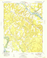 1949 King William1949 Print · USGSThe Virginia Tidewater is captured here in the years following the war, showing a landscape shaped by river landings and rural crossroads. Genealogists can locate family sites near Piping Tree Ferry, the King William Training Sch, or the historic Four Forks Inn.2 unique versions available
 - 1949 Map of Quinton
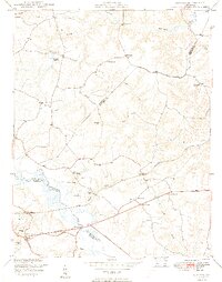 1949 Quinton1949 Print · USGSNew Kent County and the surrounding tri-county area are shown here just after the war, defined by the swampy headwaters of the Chickahominy River. Researchers can trace old crossroads at Blacks Store, local family milling sites like Parsleys Mill, and numerous country schools and churches.2 unique versions available
 - 1949 Map of Tunstall
 1949 Tunstall1949 Print · USGSThe Pamunkey River corridor is captured here in the late 1940s, highlighting the transition from river landings to rail and road transport. Researchers can locate community anchors such as St Peters Church, the Pamunkey Indian Reservation, and Pattersons Store.
 - 1949 Map of New Kent
 1949 New Kent1949 Print · USGSThe Pamunkey River valley in the late 1940s shows a landscape defined by expansive tidal marshes and historic river landings. Researchers can trace ancestral locations at the Pamunkey Indian Reservation, Lester Manor, or St Johns Ch.2 unique versions available
 - 1949 Map of Richmond, 1951 Print
 1949 Richmond1951 Print · USGSCoastal Virginia in the years following World War II remained a landscape of historic river towns and expanding military bases. Genealogists and historians can trace the rail lines of the Southern Ry and locate established landmarks from Camp Lee to the remote reaches of Dragon Swamp.
 - 1950 Map of West Point
 1950 West Point1950 Print · USGSCoastal Virginia at the turn of the decade centers on the confluence of the Mattaponi and Pamunkey. Researchers can trace family sites at Chelsea, locate historic burials at Sunny Slope Cem, and follow the SOUTHERN rail lines into the heart of West Point.2 unique versions available
 - 1950 Map of Old Church
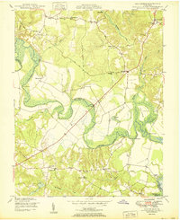 1950 Old Church1950 Print · USGSThe Pamunkey River basin in the early postwar era reveals a landscape of tidal swamps and scattered crossroads communities. Genealogists and historians can trace the foundations of the area at Old Church, Appersons Store, and historic landings like Carters Landing.2 unique versions available
 - 1952 Map of Gressitt, 1957 Print
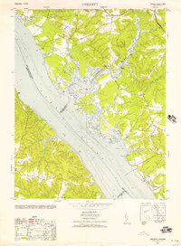 1952 Gressitt1957 Print · USGSThe Tidewater region of Virginia comes to life in the early fifties, documenting the river-centered life along the YORK RIVER. Researchers can trace family sites in Allmondsville, locate the old Prospect School, or find maritime history at Moodys Old Wharf and Red Bank Landing.
 - 1953 Map of Toano
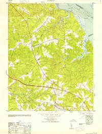 1953 Toano1953 Print · USGSThe rural Virginia Peninsula is captured here in the early fifties, where the rail-centered economy of James City and New Kent counties remains intact. Genealogists and historians can locate legacy landmarks like Hickory Neck Church, the Bock Cem, and the small siding at Diascund.
 - 1953 Map of Gressitt
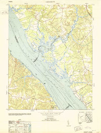 1953 Gressitt1953 Print · USGSThe York River and Poropotank River meet in this Tidewater survey from the early fifties, showing a landscape defined by water and woods. Genealogists and local historians can trace old family landing sites and vanished communities like Gressitt, Adner, and Capahosic.
 - 1953 Map of Providence Forge, 1957 Print
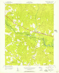 1953 Providence Forge1957 Print · USGSThe border of New Kent and Charles City counties is defined by the Chickahominy River in the early 1950s. Genealogists and local historians can trace the exact locations of many rural institutions, including Emmaus Ch, Binns Store, and the Alpine Sch.
 - 1953 Map of Walkers, 1957 Print
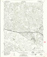 1953 Walkers1957 Print · USGSCoastal Virginia life in the early fifties unfolds along the banks of the Chickahominy River and the local rail corridor. Genealogists and historians can trace riverside settlements and country churches, from the Lanexa schoolhouse to Tsena Commoko and Windsor Shades.
 - 1953 Map of Roxbury, 1957 Print
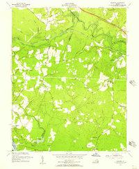 1953 Roxbury1957 Print · USGSCharles City and Henrico counties appear here in the early fifties, documenting a landscape of riverfront plantations and inland crossroads. Researchers can trace rural landmarks like the Samaria Indian Sch, the National Cem, and family sites like Hughes Store.
 - 1953 Map of Charles City, 1960 Print
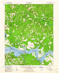 1953 Charles City1960 Print · USGSCoastal Virginia during the mid-fifties reveals a landscape defined by historic James River plantations and rural crossroads. Genealogists and historians can trace family-named sites from Berkeley and Westover to local landmarks like Ednas Mill and Merchant Hope Ch.2 unique versions available
 - 1958 Map of Toano
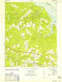 1958 Toano1958 Print · USGSThe wooded lowlands and creek systems of James City County are shown here at mid-century, centered on the village of Toano. Researchers can trace the heritage of local congregations at Hickory Neck Church and St Johns Church, or locate family sites near Barhamsville.
 - 1959 Map of Richmond
 1959 Richmond1959 Print · USGSMid-century Virginia is captured here at its most vital rail and river junctions, from the capital city to the Chesapeake Bay. Genealogists and historians can trace the development of colonial settlements like Williamsburg and military landmarks including Fort Monroe and Camp Lee.
 - 1964 Map of Richmond
 1964 Richmond1964 Print · USGSCoastal and central Virginia are mapped during the mid-twentieth century, showing the critical intersection of rail, river, and military life. Genealogists can trace family roots through rural county seats like Amelia or find vanished coastal neighborhoods near Phoebus and Hilton Village.
 - 1965 Map of Gressitt, 1966 Print
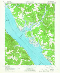 1965 Gressitt1966 Print · USGSThe Tidewater region of Virginia comes alive in the mid-1960s, showing the complex riverine borders where four counties meet. Genealogists and historians can locate old landings like Croaker Landing and rural centers such as Almondsville and Capahosic.4 unique versions available
Showing maps 1-25 of 105
Frequently asked questions
- What are the different types of historical maps available for New Kent County?
- What is the oldest map of New Kent County?
- Where can I purchase historical maps of New Kent County for my home or office?
- Where can I download high-res historical maps of New Kent County?
- Are there historical topographic maps available for New Kent County?
- Is there historical aerial imagery available for New Kent County?
- Where are historical maps of New Kent County sourced from?