Old Maps of Providence Forge, Virginia
Explore 16 old maps of Providence Forge, spanning from 1918 to today. These high-resolution historic maps reveal how streets, neighborhoods, landmarks, and natural features evolved over time — perfect for genealogy, metal detecting, research, and local history exploration.
What you can do with these maps:
- See how Providence Forge changed over time: Compare historical maps to modern-day views to trace roads, homesites, rail lines & more.
- View detailed metadata: Each map includes creators, publishers, year, scale, and archive source.
- Overlay maps with satellite & LiDAR: Visualize the past alongside modern tools to explore terrain & human change.
- Trusted historical sources: Maps sourced from the USGS, Library of Congress, and other archives.
- Access maps your way: View online, download high-res files, or order prints for personal or research use.
Start exploring old maps of Providence Forge to uncover forgotten places, hidden landmarks, and the deep history beneath your feet.
Providence Forge, VA maps
(16)- 1918 Map of Charles City
 1918 Charles City1918 Print · USGSCoastal Virginia at the end of the Great War reveals a landscape of riverfront wharves and rural schoolhouses. Genealogists can trace family roots through sites like the Samaria Indian School, Parish Hill Church, and Harrisons Landing.4 unique versions available
 - 1943 Map of Richmond, 1972 Print
 1943 Richmond1972 Print · USGSCoastal Virginia and the state capital are shown in detail during the mid-century era of infrastructure expansion. Genealogists and historians can trace the grounds of Richmond Nat Battlefield Park, locate the Yorktown Nat Cem, or follow the many rural routes through Amelia Court House and Tappahannock.
 - 1949 Map of Richmond, 1951 Print
 1949 Richmond1951 Print · USGSCoastal Virginia in the years following World War II remained a landscape of historic river towns and expanding military bases. Genealogists and historians can trace the rail lines of the Southern Ry and locate established landmarks from Camp Lee to the remote reaches of Dragon Swamp.
 - 1953 Map of Providence Forge, 1957 Print
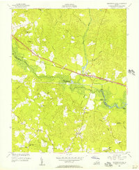 1953 Providence Forge1957 Print · USGSThe border of New Kent and Charles City counties is defined by the Chickahominy River in the early 1950s. Genealogists and local historians can trace the exact locations of many rural institutions, including Emmaus Ch, Binns Store, and the Alpine Sch.
 - 1953 Map of Charles City, 1960 Print
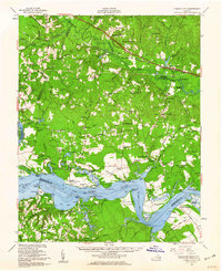 1953 Charles City1960 Print · USGSCoastal Virginia during the mid-fifties reveals a landscape defined by historic James River plantations and rural crossroads. Genealogists and historians can trace family-named sites from Berkeley and Westover to local landmarks like Ednas Mill and Merchant Hope Ch.2 unique versions available
 - 1959 Map of Richmond
 1959 Richmond1959 Print · USGSMid-century Virginia is captured here at its most vital rail and river junctions, from the capital city to the Chesapeake Bay. Genealogists and historians can trace the development of colonial settlements like Williamsburg and military landmarks including Fort Monroe and Camp Lee.
 - 1964 Map of Richmond
 1964 Richmond1964 Print · USGSCoastal and central Virginia are mapped during the mid-twentieth century, showing the critical intersection of rail, river, and military life. Genealogists can trace family roots through rural county seats like Amelia or find vanished coastal neighborhoods near Phoebus and Hilton Village.
 - 1966 Map of Providence Forge, 1968 Print
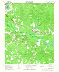 1966 Providence Forge1968 Print · USGSThe rural landscape of New Kent and Charles City counties is documented here in the mid-1960s. Researchers can locate vanished landmarks like Adkins Store and Roaches Corner, or trace family roots through numerous local churches including Emmaus Ch and Mt Stirling Ch.4 unique versions available
 - 1973 Map of Richmond, 1974 Print
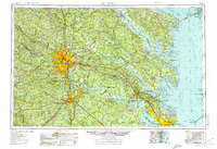 1973 Richmond1974 Print · USGSThe Virginia Tidewater and Piedmont come alive in the early seventies, showcasing a region defined by its great rivers and massive military installations. Researchers can trace the mid-century growth of Richmond or locate family sites near Amelia Court House and Highland Springs.2 unique versions available
 - 1974 Map of Providence Forge, 1977 Print
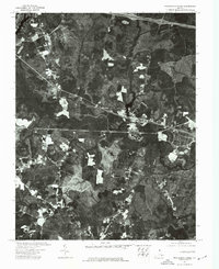 1974 Providence Forge1977 Print · USGSNew Kent County’s rural character is captured in the mid-seventies just as modern development began to brush against the tidewater landscape. Researchers can trace the winding course of the Chickahominy River and see the early layout of Providence Forge.
 - 1984 Map of Petersburg, 1985 Print
 1984 Petersburg1985 Print · USGSCentral Virginia in the mid-eighties shows a complex landscape of growing suburban centers and significant military installations. Researchers can trace historic boundaries and civic sites from Amelia Court House to the Glendale Nat Cem and Virginia State College.2 unique versions available
 - 2010 Map of Providence Forge, 2010 Print
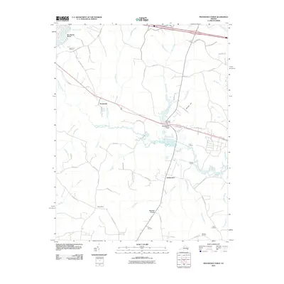 2010 Providence Forge2010 Print · USGSThe rural stretches of Charles City County are captured here just after the turn of the millennium, centered on the historic Providence Forge area. Researchers can trace local lineage through sites like Adkins Store, Union Cemetery, and old river access points at Oldhouse Landing.
 - 2013 Map of Providence Forge, 2013 Print
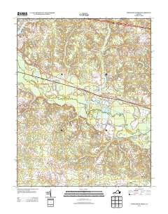 2013 Providence Forge2013 Print · USGSIn the early twenty-first century, the riverfront settlements and rural crossroads of New Kent and Charles City counties remain defined by the Chickahominy River. Researchers can trace old connections through Providence Forge, Oldhouse Landing, and the family-named corridors of Lott Cary Rd.
 - 2016 Map of Providence Forge, 2016 Print
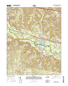 2016 Providence Forge2016 Print · USGSThe Tidewater region along the Chickahominy River is shown here as it appeared in the mid-2010s. Genealogists and historians can locate family landmarks like Union Cem and Menoah Cem or trace old routes through Providence Forge and Mountcastle.
 - 2019 Map of Providence Forge, 2019 Print
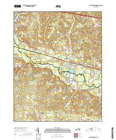 2019 Providence Forge2019 Print · USGSCoastal Virginia's riverine borderlands come to life in this recent study of the New Kent and Charles City county line. Family historians can trace ancestral roots at Cedar Grove Cem and Union Cem or explore the wetlands around Providence Forge.
 - 2022 Map of Providence Forge, 2022 Print
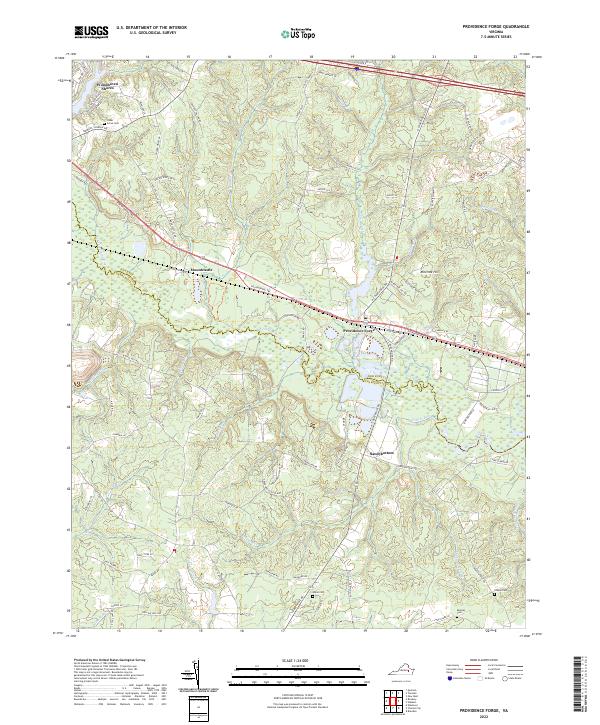 2022 Providence Forge2022 Print · USGSNew Kent and Charles City counties are shown here as they appear in the early twenty-first century, anchored by the Chickahominy River. Researchers can trace local lineage through several sites including Union Cem, Menoah Cem, and the community of Providence Forge.
End of results
Showing maps 1-16 of 16
Top cities near Providence Forge
Frequently asked questions
- What are the different types of historical maps available for Providence Forge?
- What is the oldest map of Providence Forge?
- Where can I purchase historical maps of Providence Forge for my home or office?
- Where can I download high-res historical maps of Providence Forge?
- Are there historical topographic maps available for Providence Forge?
- Is there historical aerial imagery available for Providence Forge?
- Where are historical maps of Providence Forge sourced from?