Old Maps of New Kent County, Virginia
Explore 50 old maps of New Kent County, spanning from 1906 to today. These high-resolution historic maps reveal how streets, neighborhoods, landmarks, and natural features evolved over time — perfect for genealogy, metal detecting, research, and local history exploration.
What you can do with these maps:
- See how New Kent County changed over time: Compare historical maps to modern-day views to trace roads, homesites, rail lines & more.
- View detailed metadata: Each map includes creators, publishers, year, scale, and archive source.
- Overlay maps with satellite & LiDAR: Visualize the past alongside modern tools to explore terrain & human change.
- Trusted historical sources: Maps sourced from the USGS, Library of Congress, and other archives.
- Access maps your way: View online, download high-res files, or order prints for personal or research use.
Start exploring old maps of New Kent County to uncover forgotten places, hidden landmarks, and the deep history beneath your feet.
New Kent County, VA maps
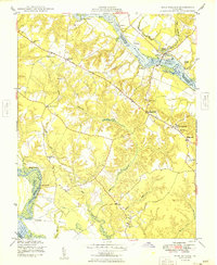
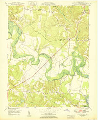
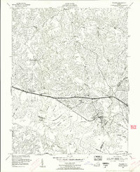
(50)- 1906 Map of Williamsburg
 1906 Williamsburg1906 Print · USGSCovers New Kent County, including Williamsburg, Gloucester, and other nearby areas6 unique versions available
 - 1917 Map of Toano, 1959 Print
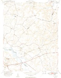
 1917 Toano1959 Print · USGSCovers New Kent County, including Lanexa, Brandon, and other nearby areas
 - 1918 Map of Charles City
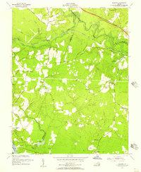
 1918 Charles City1918 Print · USGSCovers New Kent County, including Charles City, New Hope, and other nearby areas4 unique versions available
 - 1918 Map of Toano
 1918 Toano1918 Print · USGSCovers New Kent County, including Lanexa, Brandon, and other nearby areas3 unique versions available
 - 1919 Map of New Kent
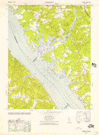
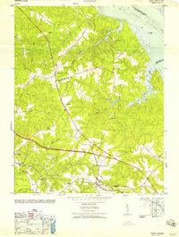
 1919 New Kent1919 Print · USGSCovers New Kent County, including West Point, White Oak Landing, and other nearby areas3 unique versions available
 - 1920 Map of King William
 1920 King William1920 Print · USGSCovers New Kent County, including Central Garage, King William, and other nearby areas4 unique versions available
 - 1943 Map of Richmond, 1972 Print
 1943 Richmond1972 Print · USGSCovers New Kent County, including Richmond, Hampton, and other nearby areas
 - 1949 Map of King William
 1949 King William1949 Print · USGSCovers New Kent County, including King William, Whitebank, and other nearby areas2 unique versions available
 - 1949 Map of Quinton
 1949 Quinton1949 Print · USGSCovers New Kent County, including Sunrise Acres, Liggans Corner, and other nearby areas2 unique versions available
 - 1949 Map of Tunstall
 1949 Tunstall1949 Print · USGSCovers New Kent County, including Carps Corner, Poplar Grove, and other nearby areas
 - 1949 Map of New Kent
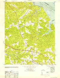
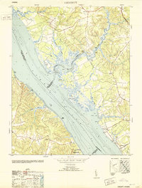
 1949 New Kent1949 Print · USGSCovers New Kent County, including Morgan Landing, White Oak Landing, and other nearby areas2 unique versions available
 - 1949 Map of Richmond, 1951 Print
 1949 Richmond1951 Print · USGSCovers New Kent County, including Richmond, Hampton, and other nearby areas
 - 1950 Map of West Point
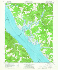
 1950 West Point1950 Print · USGSCovers New Kent County, including West Point, Brookeshire, and other nearby areas2 unique versions available
 - 1950 Map of Old Church
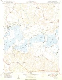
 1950 Old Church1950 Print · USGSCovers New Kent County, including Central Garage, Pampatike Landing, and other nearby areas2 unique versions available
 - 1952 Map of Gressitt, 1957 Print
 1952 Gressitt1957 Print · USGSCovers New Kent County, including Allmondsville, West End, and other nearby areas
 - 1953 Map of Toano
 1953 Toano1953 Print · USGSCovers New Kent County, including Diascund, Croaker, and other nearby areas
 - 1953 Map of Gressitt
 1953 Gressitt1953 Print · USGSCovers New Kent County, including Allmondsville, West End, and other nearby areas
 - 1953 Map of Providence Forge, 1957 Print
 1953 Providence Forge1957 Print · USGSCovers New Kent County, including Providence Forge, Roaches Corner, and other nearby areas
 - 1953 Map of Walkers, 1957 Print
 1953 Walkers1957 Print · USGSCovers New Kent County, including Lanexa, Osborn Landing, and other nearby areas
 - 1953 Map of Roxbury, 1957 Print
 1953 Roxbury1957 Print · USGSCovers New Kent County, including Glendale, Roxbury, and other nearby areas
 - 1953 Map of Charles City, 1960 Print
 1953 Charles City1960 Print · USGSCovers New Kent County, including Charles City, New Hope, and other nearby areas2 unique versions available
 - 1958 Map of Toano
 1958 Toano1958 Print · USGSCovers New Kent County, including Diascund, Croaker, and other nearby areas
 - 1959 Map of Richmond
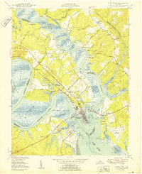
 1959 Richmond1959 Print · USGSCovers New Kent County, including Richmond, Hampton, and other nearby areas
 - 1964 Map of Richmond
 1964 Richmond1964 Print · USGSCovers New Kent County, including Richmond, Hampton, and other nearby areas
 - 1965 Map of Gressitt, 1966 Print
 1965 Gressitt1966 Print · USGSCovers New Kent County, including Allmondsville, West End, and other nearby areas4 unique versions available
Showing maps 1-25 of 50
Frequently asked questions
- What are the different types of historical maps available for New Kent County?
- What is the oldest map of New Kent County?
- Where can I purchase historical maps of New Kent County for my home or office?
- Where can I download high-res historical maps of New Kent County?
- Are there historical topographic maps available for New Kent County?
- Is there historical aerial imagery available for New Kent County?
- Where are historical maps of New Kent County sourced from?