Old Maps of Norton, Virginia for Academic Research
Study the evolution of Norton with 22 high-resolution historic maps. Whether you're teaching, researching, or modeling changes in land use, these maps provide essential visual documentation of urban, environmental, and geographic change.
- Analyze long-term change: Track patterns in development, transportation, and natural features.
- Ideal for environmental or urban studies: Support academic projects with primary historical map data.
- Use in the classroom or lab: Educators and researchers rely on these maps to bring historical context to life.
These maps are a powerful tool for teaching, research, and visualizing how Norton has changed over the decades.
Norton, VA maps
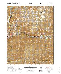
(22)- 1894 Map of Estillville, 1909 Print
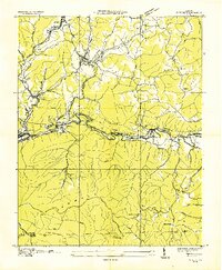
 1894 Estillville1909 Print · USGSThe Appalachian highlands at the turn of the century show a landscape of isolated mountain hollows and emerging rail hubs. Genealogists can trace family footprints across river crossings like Speer Ferry and vanished industry at Zion Mills or Brick Store.3 unique versions available
 - 1920 Map of Wise
 1920 Wise1920 Print · USGSThe coal and rail country of Southwest Virginia is captured here in the years following the Great War. Genealogists can locate family landmarks such as Fort Blackmore, Grays School, and the scattered settlements of Dunbar and Esserville.
 - 1921 Map of Wise
 1921 Wise1921 Print · USGSWise County in the early twentieth century was a landscape of coal-town industry and mountain schools. Search for family roots in settlements like Norton, Big Stone Gap, and Glamorgan, or locate rural landmarks such as Cox Chapel and Buffalo School.2 unique versions available
 - 1935 Map of Wise
 1935 Wise1935 Print · USGSWise and Norton were hubs of industry in the mid-1930s, defined by the winding Guest River and an extensive network of coal mines. Researchers can trace early mining operations like Cinchfield Coal No 15 and family-named landmarks like Stallard Ch.
 - 1935 Map of Norton
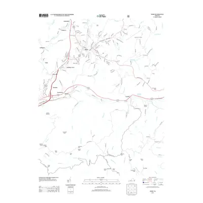
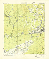 1935 Norton1935 Print · USGSIn the mid-1930s, the coal fields of Wise County were a hive of industrial activity centered around rail junctions and company towns. Researchers can trace the lineage of local families at Legion Memorial Cem and locate specific mine sites like Stonega Coal No 125 or the CCC Camp P 63.
 - 1955 Map of Johnson City
 1955 Johnson City1955 Print · USGSEast Tennessee and the bordering highlands of Virginia and Kentucky appear here during the post-war industrial boom. You can trace the complex network of mountain ridges and new TVA lakes, from Johnson City to the coalfields near Middlesboro and Lynch.
 - 1957 Map of Wise, 1959 Print
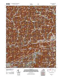
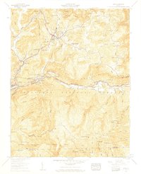 1957 Wise1959 Print · USGSWise and the coal-mining communities of the Guest River valley are captured in the late 1950s as the region's industrial and academic infrastructure expanded. Genealogists can trace family lines across dozens of rural sites, including Glamorgan Chapel, Coebern Airport, and numerous family plots like Osborn Cem.6 unique versions available
 - 1957 Map of Norton, 1959 Print
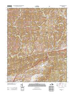
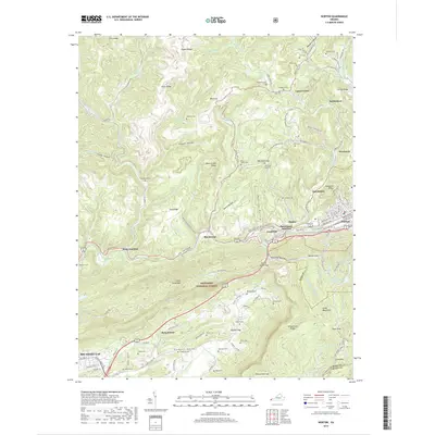
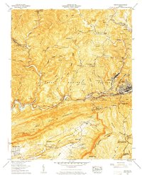 1957 Norton1959 Print · USGSWise County in the late fifties was a landscape defined by coal and iron, where ridges like Rogers Ridge were heavily shaped by extensive strip mines. Researchers can trace the heritage of small communities and family plots at Kelly View, Gardner School, and Stidham Cem.8 unique versions available
 - 1957 Map of Johnson City, 1966 Print
 1957 Johnson City1966 Print · USGSUpper East Tennessee and Southwest Virginia are shown here during the mid-sixties transition of the Appalachians. Researchers can trace the industrial rail hubs of Kingsport, the sprawling waters of Cherokee Lake, and the historic Cumberland Gap.
 - 1960 Map of Johnson City
 1960 Johnson City1960 Print · USGSUpper East Tennessee and the surrounding tri-state area are shown in the mid-fifties during the height of the TVA reservoir era. Trace the industrial rail lines of the Southern and Louisville and Nashville between Kingsport and Johnson City.
 - 1963 Map of Johnson City
 1963 Johnson City1963 Print · USGSThe Tri-Cities and the surrounding Appalachian ridges are shown in detail during the early sixties, highlighting the era's vital rail and river networks. Genealogists and historians can trace the routes of the Clinchfield RR and locate settlements from Rogersville to Elizabethton.
 - 1981 Map of Bristol
 1981 Bristol1981 Print · USGSAppalachia and the Tri-Cities region are shown at a peak of industrial and rail development in the early eighties. Researchers can trace the Clinchfield Railroad through the mountains or find local landmarks like King College and the Holston Army Ammunition Plant.2 unique versions available
 - 2011 Map of Wise, 2011 Print
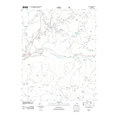 2011 Wise2011 Print · USGSCovers Norton, including Wise, Tacoma, and other nearby areas
 - 2011 Map of Norton, 2011 Print
 2011 Norton2011 Print · USGSCovers Norton, including Big Stone Gap, Big Stone Gap East, and other nearby areas
 - 2013 Map of Norton, 2013 Print
 2013 Norton2013 Print · USGSCovers Norton, including Big Stone Gap, Big Stone Gap East, and other nearby areas
 - 2013 Map of Wise, 2013 Print
 2013 Wise2013 Print · USGSCovers Norton, including Wise, Tacoma, and other nearby areas
 - 2016 Map of Norton, 2016 Print
 2016 Norton2016 Print · USGSCovers Norton, including Big Stone Gap, Big Stone Gap East, and other nearby areas
 - 2016 Map of Wise, 2016 Print
 2016 Wise2016 Print · USGSCovers Norton, including Wise, Tacoma, and other nearby areas
 - 2019 Map of Norton, 2019 Print
 2019 Norton2019 Print · USGSCovers Norton, including Big Stone Gap, Big Stone Gap East, and other nearby areas
 - 2019 Map of Wise, 2019 Print
 2019 Wise2019 Print · USGSCovers Norton, including Wise, Tacoma, and other nearby areas
 - 2022 Map of Norton, 2022 Print
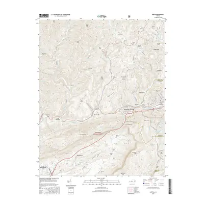
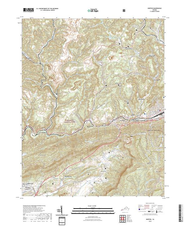 2022 Norton2022 Print · USGSWise County in the early twenty-first century remains defined by its industrial rail hubs and mountain gaps. Genealogists and historians can trace family roots through numerous highland burial sites like Stidham Cem and Marcum Cem or explore the settlements of Blackwood and Josephine.
 - 2022 Map of Wise, 2022 Print
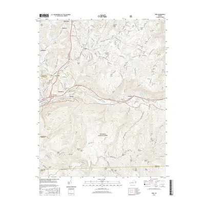
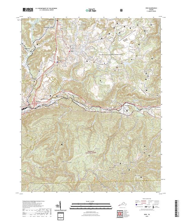 2022 Wise2022 Print · USGSThe high plateau of Wise County is captured here in the early twenty-first century, showing the intersection of academic life and mountain heritage. Researchers can trace family history through dozens of remote burial sites like Stallard Cem or explore the rugged perimeter of the Jefferson National Forest.
End of results
Showing maps 1-22 of 22
Top cities of Norton
Frequently asked questions
- What are the different types of historical maps available for Norton?
- What is the oldest map of Norton?
- Where can I purchase historical maps of Norton for my home or office?
- Where can I download high-res historical maps of Norton?
- Are there historical topographic maps available for Norton?
- Is there historical aerial imagery available for Norton?
- Where are historical maps of Norton sourced from?