Old Maps of Germanna, Virginia for Genealogy
Trace your family roots with 15 historic maps of Germanna. These high-res maps reveal old neighborhoods, homesites, landmarks, and streets — helping you uncover where your ancestors lived and how the area evolved over time.
- Explore historic neighborhoods: Identify where your relatives may have lived in the 1800s or 1900s.
- Compare maps over time: Trace the changes in streets, buildings, and landmarks for multi-generational research.
- Perfect for genealogy & ancestry research: Used by family historians and researchers to map out lineage and migration.
These maps are an incredible resource for exploring your personal connection to Germanna's past.
Germanna, VA maps
(15)- 1887 Map of Spottsylvania
 1887 Spottsylvania1887 Print · USGSCentral Virginia in the late 1880s remains a landscape of river fords and crossroads shops before modern development. Genealogists and historians can trace the locations of the Vaucluse Gold Mine, Wilderness Tavern, and the path of the Narrow Gauge Railroad.
 - 1892 Map of Spottsylvania
 1892 Spottsylvania1892 Print · USGSCentral Virginia’s post-war landscape is captured here in the late nineteenth century, showing a rural economy defined by gold mining and river crossings. Genealogists can trace family footprints at Todds Tavern, the Vaucluse Gold Mine, and along the Narrow Gauge Railroad.6 unique versions available
 - 1943 Map of Germanna Bridge, 1957 Print
 1943 Germanna Bridge1957 Print · USGSCulpeper County and the surrounding river borders are captured here during the early 1940s as a landscape of crossroads stores and river crossings. Genealogists can trace family footprints through sites like Lignum, South Lignum School, and the historic Kellys Ford.2 unique versions available
 - 1944 Map of Germanna Bridge
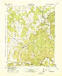 1944 Germanna Bridge1944 Print · USGSCulpeper and Fauquier counties are captured here in the mid-1940s as rural river-bound communities. Genealogists and local historians can trace the road networks connecting Kellys Ford, Lignum, and the historic crossing at Germanna Bridge.
 - 1948 Map of Washington
 1948 Washington1948 Print · USGSThe Potomac and Chesapeake regions in the late 1940s reveal a landscape of expanding military reach and deep-rooted Tidewater settlements. Trace old rail corridors like the Richmond Fredericksburg & Potomac RR or locate landmarks like the Wakefield Washington Monument and St. Marys College.2 unique versions available
 - 1957 Map of Washington, 1966 Print
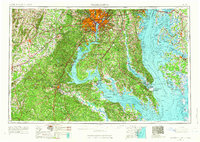 1957 Washington1966 Print · USGSThe mid-Atlantic region during the mid-fifties and early sixties reveals a landscape of growing suburbs and vital military outposts. Researchers can trace historic river towns and shorelines from Alexandria to the Hooper Islands and St Clements Island.5 unique versions available
 - 1961 Map of Washington
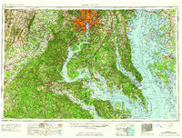 1961 Washington1961 Print · USGSThe mid-Atlantic region in the late fifties is presented in remarkable detail, from the Blue Ridge foothills to the Chesapeake Eastern Shore. Researchers can trace historic river landings and military sites like Mount Vernon, Fort Belvoir, and Point Lookout.2 unique versions available
 - 1968 Map of Germanna Bridge, 1970 Print
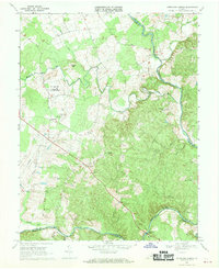 1968 Germanna Bridge1970 Print · USGSIn the late sixties, the river country between Culpeper and Fauquier counties remained a landscape of rural stores and strategic river crossings. You can trace family roots and old routes through Kellys Ford, Lignum, and the family-named Edwards Shop.2 unique versions available
 - 1983 Map of Fredericksburg, 1984 Print
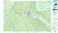 1983 Fredericksburg1984 Print · USGSThe Virginia and Maryland tidewater region comes into sharp focus during the early 1980s, centered on the historic Rappahannock and Potomac river valleys. Researchers can trace the boundaries of the Fredericksburg-Spotsylvania National Military Park alongside growing residential areas and military sites like Fort A.P. Hill Military Reservation.2 unique versions available
 - 1989 Map of Washington
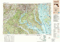 1989 Washington1989 Print · USGSThe Potomac River valley and Chesapeake Bay are shown in comprehensive detail during the late 1980s. Genealogists and historians can trace the transition from urban Alexandria to the rural Northern Neck, locating landmarks like Mount Vernon and Stratford Hall.
 - 2010 Map of Germanna Bridge, 2010 Print
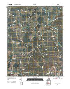 2010 Germanna Bridge2010 Print · USGSThe river crossings of Culpeper County are captured here at the start of the 2010s, showcasing the rural road networks and water gaps of the Rappahannock valley. Researchers can pinpoint legacy sites such as Lael Cemetery, Kellys Ford, and the old Stones Mill.
 - 2013 Map of Germanna Bridge, 2013 Print
 2013 Germanna Bridge2013 Print · USGSCulpeper County's river crossings and rural crossroads are captured here in the early twenty-first century. Genealogists and historians can trace the legacy of early transit and settlement through landmarks like Kellys Ford, Stones Mill, and Lignum.
 - 2016 Map of Germanna Bridge, 2016 Print
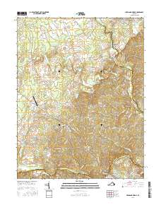 2016 Germanna Bridge2016 Print · USGSCulpeper County at the confluence of the Rapidan and Rappahannock Rivers remains a landscape defined by historic crossings and rural crossroads. Local historians can trace family roots through sites like Lael Cem, the community at Lignum, and the storied grounds of Kellys Ford.
 - 2019 Map of Germanna Bridge, 2019 Print
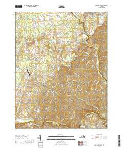 2019 Germanna Bridge2019 Print · USGSThe confluence of the Rapidan and Rappahannock rivers marks this portion of Virginia in the late 2010s. Researchers can locate the Lael Cem near Lignum or trace the road network around Berry Hill Mineral Springs and Kellys Ford.
 - 2022 Map of Germanna Bridge, 2022 Print
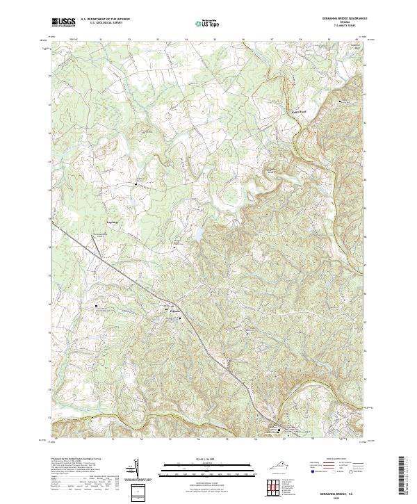 2022 Germanna Bridge2022 Print · USGSCulpeper County at the start of the 2020s remains a landscape of river-bend settlements and deep family roots. Researchers can trace ancestral locations at James William Brown Family Cem, Kellys Ford, and the crossroads of Lignum.
End of results
Showing maps 1-15 of 15
Frequently asked questions
- What are the different types of historical maps available for Germanna?
- What is the oldest map of Germanna?
- Where can I purchase historical maps of Germanna for my home or office?
- Where can I download high-res historical maps of Germanna?
- Are there historical topographic maps available for Germanna?
- Is there historical aerial imagery available for Germanna?
- Where are historical maps of Germanna sourced from?