Old Maps of Patrick County, Virginia
Explore 32 old maps of Patrick County, spanning from 1889 to today. These high-resolution historic maps reveal how streets, neighborhoods, landmarks, and natural features evolved over time — perfect for genealogy, metal detecting, research, and local history exploration.
What you can do with these maps:
- See how Patrick County changed over time: Compare historical maps to modern-day views to trace roads, homesites, rail lines & more.
- View detailed metadata: Each map includes creators, publishers, year, scale, and archive source.
- Overlay maps with satellite & LiDAR: Visualize the past alongside modern tools to explore terrain & human change.
- Trusted historical sources: Maps sourced from the USGS, Library of Congress, and other archives.
- Access maps your way: View online, download high-res files, or order prints for personal or research use.
Start exploring old maps of Patrick County to uncover forgotten places, hidden landmarks, and the deep history beneath your feet.
Patrick County, VA maps
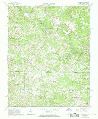
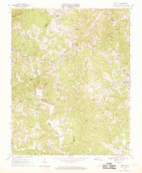
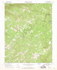
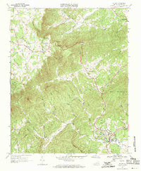
(32)- 1889 Map of Hillsville
 1889 Hillsville1889 Print · USGSCovers Patrick County, including Mount Airy, Galax, and other nearby areas
 - 1892 Map of Hillsville
 1892 Hillsville1892 Print · USGSCovers Patrick County, including Mount Airy, Galax, and other nearby areas
 - 1896 Map of Hillsville
 1896 Hillsville1896 Print · USGSCovers Patrick County, including Mount Airy, Galax, and other nearby areas7 unique versions available
 - 1926 Map of Critz
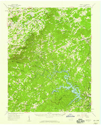
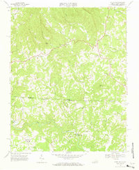
 1926 Critz1926 Print · USGSCovers Patrick County, including Bassett, Stuart, and other nearby areas2 unique versions available
 - 1928 Map of Stuart
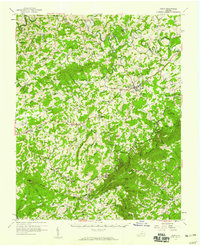
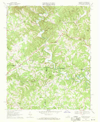
 1928 Stuart1928 Print · USGSCovers Patrick County, including Stuart, Aarons Corner, and other nearby areas2 unique versions available
 - 1928 Map of Critz
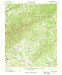
 1928 Critz1928 Print · USGSCovers Patrick County, including Bassett, Stuart, and other nearby areas3 unique versions available
 - 1931 Map of Stuart
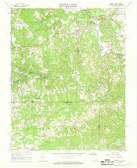
 1931 Stuart1931 Print · USGSCovers Patrick County, including Stuart, Aarons Corner, and other nearby areas3 unique versions available
 - 1953 Map of Winston-Salem, 1974 Print
 1953 Winston-Salem1974 Print · USGSCovers Patrick County, including Greensboro, Winston-Salem, and other nearby areas2 unique versions available
 - 1955 Map of Winston-Salem
 1955 Winston-Salem1955 Print · USGSCovers Patrick County, including Greensboro, Winston-Salem, and other nearby areas
 - 1957 Map of Mount Airy, 1959 Print
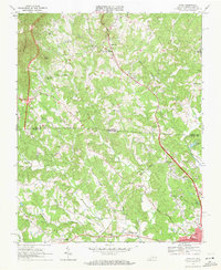
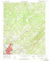
 1957 Mount Airy1959 Print · USGSCovers Patrick County, including Mount Airy, Hillsville, and other nearby areas2 unique versions available
 - 1957 Map of Endicott, 1959 Print
 1957 Endicott1959 Print · USGSCovers Patrick County, including Bassett, Ferrum, and other nearby areas2 unique versions available
 - 1957 Map of Floyd, 1959 Print
 1957 Floyd1959 Print · USGSCovers Patrick County, including Floyd, Woolwine, and other nearby areas
 - 1962 Map of Winston-Salem
 1962 Winston-Salem1962 Print · USGSCovers Patrick County, including Greensboro, Winston-Salem, and other nearby areas
 - 1967 Map of Patrick Springs, 1968 Print
 1967 Patrick Springs1968 Print · USGSCovers Patrick County, including Stuart, Reynolds Mill, and other nearby areas2 unique versions available
 - 1967 Map of Spencer, 1968 Print
 1967 Spencer1968 Print · USGSCovers Patrick County, including Sheppards Mill, Spencer, and other nearby areas2 unique versions available
 - 1967 Map of Nettleridge, 1968 Print
 1967 Nettleridge1968 Print · USGSCovers Patrick County, including Palmetto, Nettleridge, and other nearby areas3 unique versions available
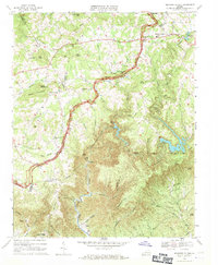
 - 1967 Map of Philpott Reservoir, 1969 Print
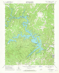 1967 Philpott Reservoir1969 Print · USGSCovers Patrick County, including Bassett, West Bassett, and other nearby areas3 unique versions available
 - 1967 Map of Sanville, 1969 Print
 1967 Sanville1969 Print · USGSCovers Patrick County, including Bassett, Blackberry, and other nearby areas2 unique versions available
 - 1967 Map of Charity, 1970 Print
 1967 Charity1970 Print · USGSCovers Patrick County, including Charity, Elamsville, and other nearby areas2 unique versions available
 - 1967 Map of Stuart, 1971 Print
 1967 Stuart1971 Print · USGSCovers Patrick County, including Stuart, Dobyns, and other nearby areas2 unique versions available
 - 1968 Map of Stuart SE, 1970 Print
 1968 Stuart SE1970 Print · USGSCovers Patrick County, including Stuart, Aarons Corner, and other nearby areas3 unique versions available
 - 1968 Map of Claudville, 1971 Print
 1968 Claudville1971 Print · USGSCovers Patrick County, including Meadowfield, Asbury, and other nearby areas3 unique versions available
 - 1968 Map of Meadows of Dan, 1971 Print
 1968 Meadows of Dan1971 Print · USGSCovers Patrick County, including Pike City, Meadows of Dan, and other nearby areas3 unique versions available
 - 1968 Map of Cana, 1971 Print
 1968 Cana1971 Print · USGSCovers Patrick County, including Mount Airy, Cana, and other nearby areas3 unique versions available
 - 1968 Map of Mount Airy North, 1971 Print
 1968 Mount Airy North1971 Print · USGSCovers Patrick County, including Mount Airy, Flat Rock, and other nearby areas3 unique versions available
Showing maps 1-25 of 32
Top cities of Patrick County
Frequently asked questions
- What are the different types of historical maps available for Patrick County?
- What is the oldest map of Patrick County?
- Where can I purchase historical maps of Patrick County for my home or office?
- Where can I download high-res historical maps of Patrick County?
- Are there historical topographic maps available for Patrick County?
- Is there historical aerial imagery available for Patrick County?
- Where are historical maps of Patrick County sourced from?