Old Maps of Mount Olivet, Virginia for Genealogy
Trace your family roots with 15 historic maps of Mount Olivet. These high-res maps reveal old neighborhoods, homesites, landmarks, and streets — helping you uncover where your ancestors lived and how the area evolved over time.
- Explore historic neighborhoods: Identify where your relatives may have lived in the 1800s or 1900s.
- Compare maps over time: Trace the changes in streets, buildings, and landmarks for multi-generational research.
- Perfect for genealogy & ancestry research: Used by family historians and researchers to map out lineage and migration.
These maps are an incredible resource for exploring your personal connection to Mount Olivet's past.
Mount Olivet, VA maps
(15)- 1890 Map of Dublin
 1890 Dublin1890 Print · USGSThe mountainous borderlands of Virginia and West Virginia are captured here in the late nineteenth century as industry and rail expanded along the New River. Genealogists and historians can trace the foundations of local commerce through sites like Pearisburg, the Belle Hampton Mine, and river crossings at Peppers Ferry.
 - 1891 Map of Dublin
 1891 Dublin1891 Print · USGSAcross Southwest Virginia and West Virginia in the late nineteenth century, the river and rail lines dictated the pace of mountain life. Genealogists can trace family footprints through numerous river crossings like Ingles Ferry and historic industry sites like Altoona Mines and Mercers Salt Works.9 unique versions available
 - 1934 Map of Pulaski
 1934 Pulaski1934 Print · USGSPulaski and the surrounding Appalachian ridges are captured here during the mid-1930s, showing the intersection of mountain geography and local industry. Researchers can trace rural life through sites like the Stanse Mines, the Brick Church, and several valley schoolhouses including Long Spur Sch.
 - 1940 Map of Pulaski
 1940 Pulaski1940 Print · USGSPulaski and the surrounding Blue Ridge foothills are captured in the mid-1930s as the railroad and timber industries shaped the local economy. Researchers can trace family sites near Shiloh Ch, locate the Stange Mines, or find old schoolhouses like Mill Iron Sch.3 unique versions available
 - 1955 Map of Bluefield
 1955 Bluefield1955 Print · USGSThe Central Appalachian borderlands come alive in the mid-fifties, showing the coal and rail networks connecting Bluefield to Beckley. Researchers can trace the industrial landscape of the New River Ordnance Plant and the terrain of Burkes Garden.
 - 1957 Map of Bluefield, 1967 Print
 1957 Bluefield1967 Print · USGSThe heart of Central Appalachia in the mid-fifties is defined by the winding rail lines and river valleys of the coalfields. Researchers can trace the industrial footprints of towns like Welch and Princeton or locate landmarks such as the Bluestone Reservoir and Claytor Lake.2 unique versions available
 - 1961 Map of Bluefield
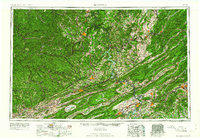 1961 Bluefield1961 Print · USGSThe coalfields and mountain ridges of southern West Virginia and southwest Virginia are captured in the early sixties. Genealogists can trace family ties through rail-linked towns like Princeton and Richlands or along the shores of Bluestone Reservoir.
 - 1965 Map of Pulaski, 1967 Print
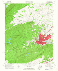 1965 Pulaski1967 Print · USGSPulaski was a thriving rail and mountain hub during the mid-sixties, situated at the edge of the Jefferson National Forest. Researchers can trace the town's growth through landmarks like Calfee Park, the Empire Mine, and the Norfolk and Western rail network.4 unique versions available
 - 1976 Map of Pulaski, 1983 Print
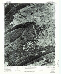 1976 Pulaski1983 Print · USGSPulaski and the surrounding valley are captured in the mid-seventies just as the local landscape was shaped by industrial growth and water management. Genealogists and historians can trace property lines and forest cover near Draper, Gatewood Reservoir, and Mt Olivet.
 - 1982 Map of Radford, 1983 Print
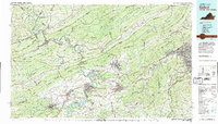 1982 Radford1983 Print · USGSThe New River Valley and surrounding highlands are shown during a period of significant regional growth in the early eighties. Genealogists and historians can trace the development of VPI, locate historic sites like Yellow Sulphur Springs, and follow the Norfolk and Western rail lines through the gaps.2 unique versions available
 - 2011 Map of Pulaski, 2011 Print
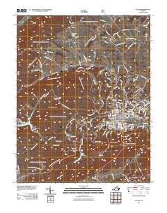 2011 Pulaski2011 Print · USGSPulaski and its surrounding mountain ridges are captured in high detail during the early 2010s. Genealogists and local historians can trace family locations near Pinehurst Cemetery or follow the legacy of the Empire Mine and Mount Olivet.
 - 2013 Map of Pulaski, 2013 Print
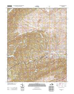 2013 Pulaski2013 Print · USGSPulaski and its surrounding ridges are documented here during the early twenty-first century as the town expanded into the neighboring highlands. Genealogists and hikers can trace local landmarks like the Empire Mine, Mount Olivet, and the Kegley Farm of Pulaski.
 - 2016 Map of Pulaski, 2016 Print
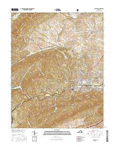 2016 Pulaski2016 Print · USGSPulaski County in the mid-2010s shows a classic Appalachian mountain town nestled between high ridges and forest lands. Researchers can trace local lineage at Oakwood Cem or explore the rural surroundings of Mount Olivet and Weldon.
 - 2019 Map of Pulaski, 2019 Print
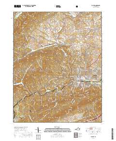 2019 Pulaski2019 Print · USGSThe town of Pulaski stands as a mountain valley hub in the late 2010s. Local researchers can trace civic landmarks like the Pulaski County Courthouse or locate family sites at Oakwood Cem and Mount Olivet.
 - 2022 Map of Pulaski, 2022 Print
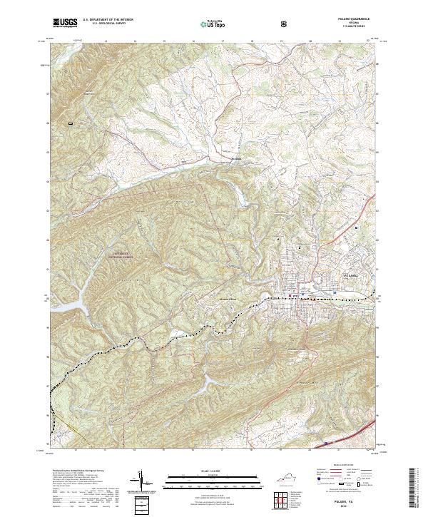 2022 Pulaski2022 Print · USGSPulaski and the surrounding Blue Ridge foothills are shown here in the 2020s, revealing the town's interface with the Jefferson National Forest. Genealogists and researchers can locate the Pulaski County Courthouse and local burial grounds like Pinehurst Cem or the Mt Olivet Ch.
End of results
Showing maps 1-15 of 15
Frequently asked questions
- What are the different types of historical maps available for Mount Olivet?
- What is the oldest map of Mount Olivet?
- Where can I purchase historical maps of Mount Olivet for my home or office?
- Where can I download high-res historical maps of Mount Olivet?
- Are there historical topographic maps available for Mount Olivet?
- Is there historical aerial imagery available for Mount Olivet?
- Where are historical maps of Mount Olivet sourced from?