Old Maps of Farnham, Virginia for Metal Detecting
Plan your next treasure hunt with 16 historic maps of Farnham. Find old homesites, ghost towns, trails, and gathering spots that may be lost to time — perfect for identifying promising metal detecting locations.
- Locate forgotten sites: Uncover places like long-lost settlements, abandoned rail lines, or gathering spots.
- Plan better hunts: Use map overlays combined with LiDAR or satellite views to narrow in on historically rich areas.
- Made for detectorists: Thousands of hobbyists use these maps to discover relics, coins, and hidden history.
Use these historic maps to boost your research and find new opportunities beneath the surface of Farnham.
Farnham, VA maps
(16)- 1917 Map of Morattico
 1917 Morattico1917 Print · USGSThe Northern Neck of Virginia is shown here in the years before the Great War, when the Rappahannock River was a busy Steamboat Route. Genealogists can locate family landmarks like Gordys Millpond, Lively, and the Marvin Grove Camp in this detailed look at early rural life.
 - 1918 Map of Morattico
 1918 Morattico1918 Print · USGSThe Northern Neck region relied heavily on the Rappahannock waterfront during the early twentieth century, when steamboats were still the primary connection to the outside world. Researchers can trace ancestral home sites and community centers from Lodge and Nuttsville to historic landmarks like Gibeon Church and Downings Mill.3 unique versions available
 - 1926 Map of Morattico, 1943 Print
 1926 Morattico1943 Print · USGSThe Rappahannock River and Northern Neck are captured in the mid-1920s, showing a landscape defined by tidewater commerce and rural tradition. Genealogists can trace family roots through numerous churches and schools like Totuskey Church, Folly School, and Sharps.
 - 1943 Map of Richmond, 1972 Print
 1943 Richmond1972 Print · USGSCoastal Virginia and the state capital are shown in detail during the mid-century era of infrastructure expansion. Genealogists and historians can trace the grounds of Richmond Nat Battlefield Park, locate the Yorktown Nat Cem, or follow the many rural routes through Amelia Court House and Tappahannock.
 - 1944 Map of Lottsburg
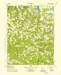 1944 Lottsburg1944 Print · USGSNorthumberland County in the mid-1940s was a network of tidal creeks and small crossroads settlements. Genealogists can trace family landmarks and rural infrastructure through Gordys Mill, Zion Church, and the E Branch Chapel School.2 unique versions available
 - 1949 Map of Richmond, 1951 Print
 1949 Richmond1951 Print · USGSCoastal Virginia in the years following World War II remained a landscape of historic river towns and expanding military bases. Genealogists and historians can trace the rail lines of the Southern Ry and locate established landmarks from Camp Lee to the remote reaches of Dragon Swamp.
 - 1959 Map of Richmond
 1959 Richmond1959 Print · USGSMid-century Virginia is captured here at its most vital rail and river junctions, from the capital city to the Chesapeake Bay. Genealogists and historians can trace the development of colonial settlements like Williamsburg and military landmarks including Fort Monroe and Camp Lee.
 - 1964 Map of Richmond
 1964 Richmond1964 Print · USGSCoastal and central Virginia are mapped during the mid-twentieth century, showing the critical intersection of rail, river, and military life. Genealogists can trace family roots through rural county seats like Amelia or find vanished coastal neighborhoods near Phoebus and Hilton Village.
 - 1968 Map of Lottsburg, 1971 Print
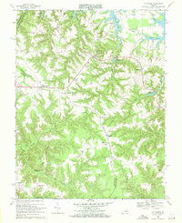 1968 Lottsburg1971 Print · USGSThe Northern Neck in the late sixties shows a landscape of tidal creeks and millponds before modern development altered the rural character of these coastal counties. Trace family roots and local history through Henderson Ch, the crossroads at Village, and the waterfront at Wrights Cove.3 unique versions available
 - 1973 Map of Richmond, 1974 Print
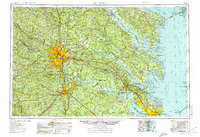 1973 Richmond1974 Print · USGSThe Virginia Tidewater and Piedmont come alive in the early seventies, showcasing a region defined by its great rivers and massive military installations. Researchers can trace the mid-century growth of Richmond or locate family sites near Amelia Court House and Highland Springs.2 unique versions available
 - 1984 Map of Tappahannock
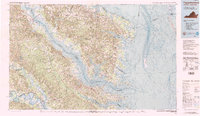 1984 Tappahannock1984 Print · USGSThe Northern Neck and Middle Peninsula of Virginia are captured in detail during the mid-1980s, showcasing the region's deep-rooted maritime and agricultural identity. Genealogists and local historians can trace family locations across the intricate shorelines of the Rappahannock River and settlements like Kilmarnock, Heathsville, and Urbanna.3 unique versions available
 - 2011 Map of Lottsburg, 2011 Print
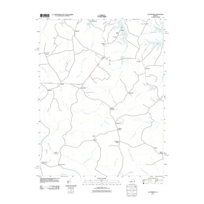 2011 Lottsburg2011 Print · USGSThe Virginia Northern Neck's tidal terrain is captured here just after the first decade of the new millennium. Local historians can trace family-named settlements and landmarks including Stately Oak, Gibeon Cemetery, and Gardy Millpond.
 - 2013 Map of Lottsburg, 2013 Print
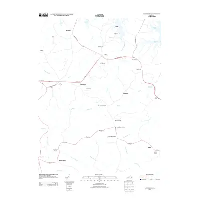 2013 Lottsburg2013 Print · USGSNorthumberland County in the early twenty-first century maintains its character as a network of crossroads and coastal drainages. Genealogists can trace family landmarks like Scotts Corner and Strawberry Bottom or locate old water sites at Gardy Millpond.
 - 2016 Map of Lottsburg, 2016 Print
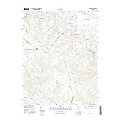 2016 Lottsburg2016 Print · USGSThe Northern Neck of Virginia in the mid-2010s remains a landscape of tidal creeks and historic rural crossroads. Trace old family sites and coastal geography through features like Gibeon Cem, Gardy Millpond, and the finger-like peninsula of Lodge Neck.
 - 2019 Map of Lottsburg, 2019 Print
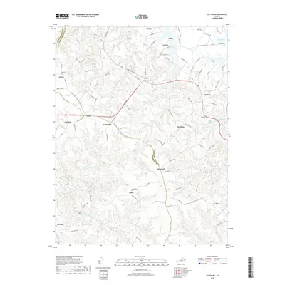 2019 Lottsburg2019 Print · USGSThe Northern Neck region near the turn of the twenty-first century reveals a landscape defined by historic necks and creek systems. Genealogists and local historians can locate family burial sites at Gibeon Cem or trace the routes through Strawberry Bottom and Luttrellville.
 - 2022 Map of Lottsburg, 2022 Print
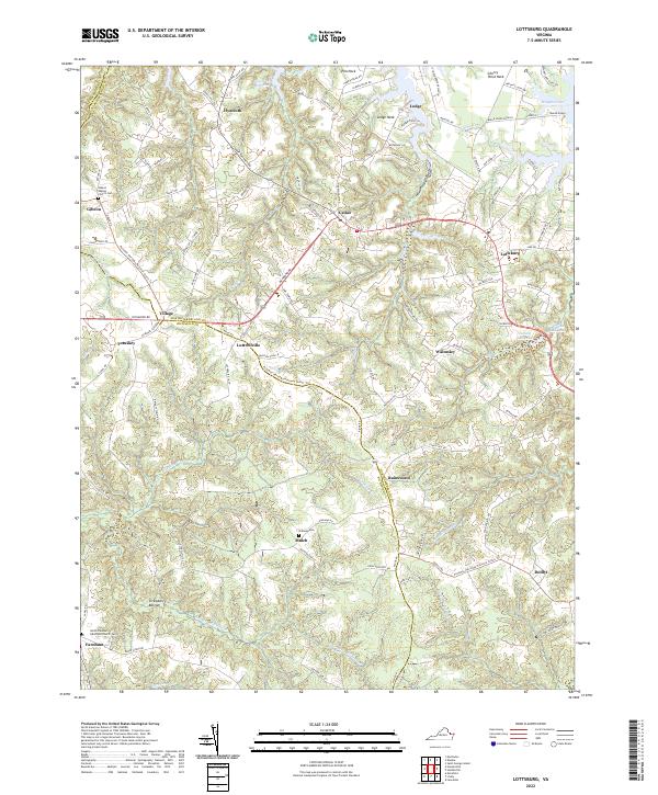 2022 Lottsburg2022 Print · USGSThe Northern Neck of Virginia is shown here in the early twenty-first century, where tidewater peninsulas meet historic crossroads. Researchers can trace land tracts near Cherry Point Neck or locate family sites at Gibeon Baptist Church Cem and Strawberry Bottom.
End of results
Showing maps 1-16 of 16
Top cities near Farnham
- Warsaw historical maps
- Kilmarnock historical maps
- Irvington historical maps
- Montross historical maps
- Heathsville historical maps
- Lancaster historical maps
Frequently asked questions
- What are the different types of historical maps available for Farnham?
- What is the oldest map of Farnham?
- Where can I purchase historical maps of Farnham for my home or office?
- Where can I download high-res historical maps of Farnham?
- Are there historical topographic maps available for Farnham?
- Is there historical aerial imagery available for Farnham?
- Where are historical maps of Farnham sourced from?