1900s (20th Century) Maps of Richmond, Virginia
Explore 23 historic maps of Richmond from the 1900s (20th Century). These maps offer a rare glimpse into what life looked like during the 1900s — showing old roads, neighborhoods, homes, and landmarks that have changed or disappeared over time.
Whether you're researching your family's past, planning a metal detecting trip, or studying how Richmond's landscape evolved across the 1900s, these high-resolution maps are a powerful tool for exploring the history of this region.
- Focus on a specific era: All maps on this page are from the 1900s, giving you a focused view of this time period.
- See what’s changed: Compare century-old streets, trails, and buildings to today's modern landscape using overlays and satellite layers.
- Research with precision: Use these maps for genealogy, historical research, land use analysis, or educational projects.
- View, download, or print: Maps are fully viewable online in high resolution, and can be downloaded or printed for your own records.
Start exploring Richmond's history through authentic maps from the 1900s. This is your window into the past.
Richmond, VA maps
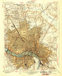
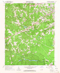
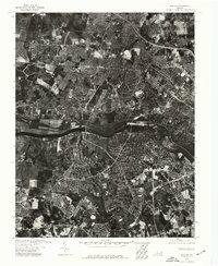
(23)- 1934 Map of Richmond
 1934 Richmond1934 Print · USGSCovers Richmond, including Lakeside, Dumbarton, and other nearby areas2 unique versions available
 - 1936 Map of Richmond West
 1936 Richmond West1936 Print · USGSCovers Richmond, including Tuckahoe, Bon Air, and other nearby areas2 unique versions available
 - 1938 Map of Drewrys Bluff
 1938 Drewrys Bluff1938 Print · USGSCovers Richmond, including Meadowbrook, Bellwood, and other nearby areas
 - 1939 Map of Richmond
 1939 Richmond1939 Print · USGSCovers Richmond, including Lakeside, Dumbarton, and other nearby areas2 unique versions available
 - 1942 Map of Westhampton
 1942 Westhampton1942 Print · USGSCovers Richmond, including Tuckahoe, Bon Air, and other nearby areas2 unique versions available
 - 1943 Map of Chesterfield
 1943 Chesterfield1943 Print · USGSCovers Richmond, including Manchester, Rockwood, and other nearby areas3 unique versions available
 - 1943 Map of Richmond, 1972 Print
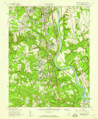
 1943 Richmond1972 Print · USGSCovers Richmond, including Hampton, Tuckahoe, and other nearby areas
 - 1946 Map of Bermuda Hundred
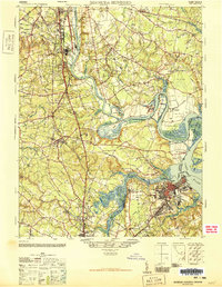 1946 Bermuda Hundred1946 Print · USGSCovers Richmond, including Chester, Hopewell, and other nearby areas2 unique versions available
 - 1949 Map of Richmond, 1951 Print
 1949 Richmond1951 Print · USGSCovers Richmond, including Hampton, Tuckahoe, and other nearby areas
 - 1952 Map of Drewrys Bluff, 1959 Print
 1952 Drewrys Bluff1959 Print · USGSCovers Richmond, including Meadowbrook, Bellwood, and other nearby areas
 - 1956 Map of Richmond, 1959 Print
 1956 Richmond1959 Print · USGSCovers Richmond, including Lakeside, Dumbarton, and other nearby areas
 - 1959 Map of Richmond
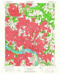
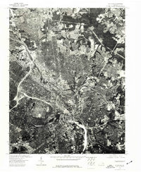
 1959 Richmond1959 Print · USGSCovers Richmond, including Hampton, Tuckahoe, and other nearby areas
 - 1963 Map of Chesterfield, 1965 Print
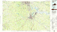
 1963 Chesterfield1965 Print · USGSCovers Richmond, including Manchester, Rockwood, and other nearby areas6 unique versions available
 - 1964 Map of Richmond
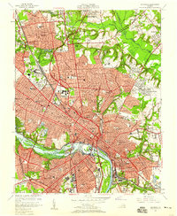
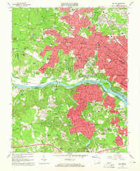
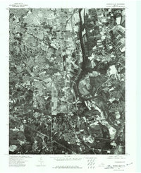
 1964 Richmond1964 Print · USGSCovers Richmond, including Hampton, Tuckahoe, and other nearby areas
 - 1964 Map of Bon Air, 1965 Print
 1964 Bon Air1965 Print · USGSCovers Richmond, including Tuckahoe, Bon Air, and other nearby areas8 unique versions available
 - 1964 Map of Richmond, 1966 Print
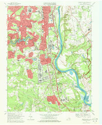
 1964 Richmond1966 Print · USGSCovers Richmond, including Lakeside, Dumbarton, and other nearby areas8 unique versions available
 - 1969 Map of Drewrys Bluff, 1971 Print
 1969 Drewrys Bluff1971 Print · USGSCovers Richmond, including Meadowbrook, Bellwood, and other nearby areas5 unique versions available
 - 1973 Map of Richmond, 1974 Print
 1973 Richmond1974 Print · USGSCovers Richmond, including Hampton, Tuckahoe, and other nearby areas2 unique versions available
 - 1974 Map of Bon Air, 1977 Print
 1974 Bon Air1977 Print · USGSCovers Richmond, including Tuckahoe, Bon Air, and other nearby areas
 - 1974 Map of Drewrys Bluff, 1977 Print
 1974 Drewrys Bluff1977 Print · USGSCovers Richmond, including Meadowbrook, Bellwood, and other nearby areas
 - 1974 Map of Richmond, 1977 Print
 1974 Richmond1977 Print · USGSCovers Richmond, including Lakeside, Dumbarton, and other nearby areas
 - 1984 Map of Petersburg, 1985 Print
 1984 Petersburg1985 Print · USGSCovers Richmond, including Petersburg, Chester, and other nearby areas2 unique versions available
 - 1984 Map of Richmond, 1986 Print
 1984 Richmond1986 Print · USGSCovers Richmond, including Tuckahoe, Mechanicsville, and other nearby areas3 unique versions available
End of results
Showing maps 1-23 of 23
Top cities of Richmond
Frequently asked questions
- What are the different types of historical maps available for Richmond?
- What is the oldest map of Richmond?
- Where can I purchase historical maps of Richmond for my home or office?
- Where can I download high-res historical maps of Richmond?
- Are there historical topographic maps available for Richmond?
- Is there historical aerial imagery available for Richmond?
- Where are historical maps of Richmond sourced from?