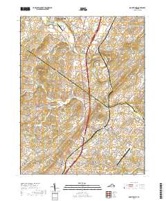
Old Maps of Bridgewater, Virginia for Metal Detecting
Plan your next treasure hunt with 21 historic maps of Bridgewater. Find old homesites, ghost towns, trails, and gathering spots that may be lost to time — perfect for identifying promising metal detecting locations.
- Locate forgotten sites: Uncover places like long-lost settlements, abandoned rail lines, or gathering spots.
- Plan better hunts: Use map overlays combined with LiDAR or satellite views to narrow in on historically rich areas.
- Made for detectorists: Thousands of hobbyists use these maps to discover relics, coins, and hidden history.
Use these historic maps to boost your research and find new opportunities beneath the surface of Bridgewater.
Bridgewater, VA maps
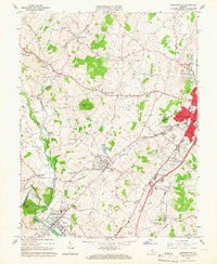
(21)- 1892 Map of Harrisonburg, 1901 Print
 1892 Harrisonburg1901 Print · USGSThe Shenandoah Valley during the 1890s reveals a landscape of thriving springs, mills, and emerging industry across Rockingham and Albemarle counties. Genealogists can trace family locations through sites like Meyerhoffer's Store, the Crimora Mine, and the University of Virginia Observatory.6 unique versions available
 - 1941 Map of Harrisonburg, 1965 Print
 1941 Harrisonburg1965 Print · USGSHarrisonburg and the surrounding Rockingham County countryside are shown here in the early 1940s, a landscape shaped by rail, river, and regional history. Genealogists can trace family roots through landmarks like Weyers Cave, St Michaels Ch, and the Civilian Public Service Camp No 8.
 - 1943 Map of Harrisonburg
 1943 Harrisonburg1943 Print · USGSMid-century Rockingham County centers on the growing college town of Harrisonburg as the surrounding valley thrives on a mix of agriculture and rail commerce. Genealogists can trace family names through dozens of rural landmarks like Weyers Cave, Bridgewater College, and Melanchthon Chapel.
 - 1949 Map of Charlottesville
 1949 Charlottesville1949 Print · USGSThe Shenandoah Valley and Blue Ridge appear in the late 1940s as a thriving corridor of rail and river commerce. Researchers can trace the mid-century footprints of Harrisonburg, Staunton, and Culpeper alongside the historic routes of the Southern Railway.2 unique versions available
 - 1956 Map of Charlottesville, 1966 Print
 1956 Charlottesville1966 Print · USGSThe Shenandoah Valley and Blue Ridge are captured in detail during the mid-1960s as the modern interstate system began to emerge. Genealogists and historians can trace rail-connected hubs like Waynesboro or follow the river paths of the Rapidan River and Rivanna River.4 unique versions available
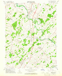
 - 1964 Map of Bridgewater, 1966 Print
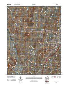
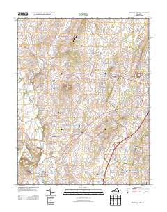
 1964 Bridgewater1966 Print · USGSThe North River valley in the mid-1960s reveals a landscape of established colleges and historic church communities. Genealogists and local historians can trace family locations near Greenwood Cem, Mt Clinton Ch, or the small settlement of Stempleytown.5 unique versions available
 - 1964 Map of Mount Sidney, 1966 Print
 1964 Mount Sidney1966 Print · USGSThe Shenandoah Valley on the cusp of the mid-sixties reveals a landscape of river-bottom farms and emerging aviation hubs. Genealogists can locate family names at Bells Cem and Landes Cem, or trace the winding Chesapeake Western line through Weyers Cave.4 unique versions available
 - 1986 Map of Charlottesville
 1986 Charlottesville1986 Print · USGSCentral Virginia in the mid-eighties shows a landscape balanced between the growing city centers of the Piedmont and the protected ridges of the Blue Ridge. Trace the historic rail lines of the Chesapeake and Ohio Railway or locate local landmarks like Monticello Mountain and Bridgewater College.3 unique versions available
 - 1989 Map of Bridgewater, 1995 Print
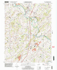
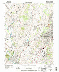 1989 Bridgewater1995 Print · USGSRockingham County in the late eighties shows a landscape shaped by collegiate growth and deep-rooted agricultural hamlets. Genealogists and historians can trace family sites near Montezuma, local landmarks like Silver Lake, or the grounds of Bridgewater College.
 - 2002 Map of Bridgewater, 2004 Print
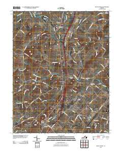
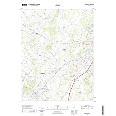
 2002 Bridgewater2004 Print · USGSHarrisonburg and the surrounding Rockingham County settlements are shown at the turn of the millennium as academic and rural life intersect. Genealogists and historians can trace local landmarks like Garbers Church, the historic waters of Silver Lake, and the small community of Stemphleytown.
 - 2002 Map of Mount Sidney, 2004 Print
 2002 Mount Sidney2004 Print · USGSThe Shenandoah Valley corridor near the Rockingham and Augusta county line is documented here just after the turn of the millennium. Genealogists and local historians can trace legacy sites like St Michaels Ch, the Old Salem Cem, and the rural community of Burketown.
 - 2010 Map of Bridgewater, 2010 Print
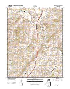
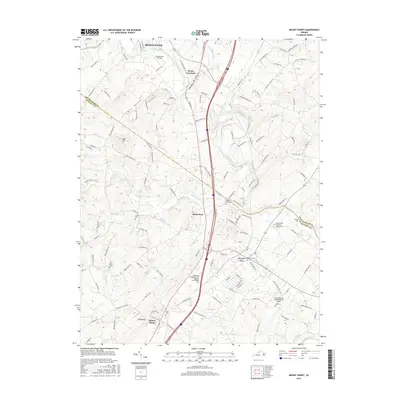
 2010 Bridgewater2010 Print · USGSCovers Bridgewater, including Dayton, Belmont Estates, and other nearby areas
 - 2010 Map of Mount Sidney, 2010 Print
 2010 Mount Sidney2010 Print · USGSCovers Bridgewater, including Weyers Cave, Mount Sidney, and other nearby areas
 - 2013 Map of Mount Sidney, 2013 Print
 2013 Mount Sidney2013 Print · USGSCovers Bridgewater, including Weyers Cave, Mount Sidney, and other nearby areas
 - 2013 Map of Bridgewater, 2013 Print
 2013 Bridgewater2013 Print · USGSCovers Bridgewater, including Dayton, Belmont Estates, and other nearby areas
 - 2016 Map of Mount Sidney, 2016 Print
 2016 Mount Sidney2016 Print · USGSCovers Bridgewater, including Weyers Cave, Mount Sidney, and other nearby areas
 - 2016 Map of Bridgewater, 2016 Print
 2016 Bridgewater2016 Print · USGSCovers Bridgewater, including Dayton, Belmont Estates, and other nearby areas
 - 2019 Map of Bridgewater, 2019 Print
 2019 Bridgewater2019 Print · USGSCovers Bridgewater, including Dayton, Belmont Estates, and other nearby areas
 - 2019 Map of Mount Sidney, 2019 Print
 2019 Mount Sidney2019 Print · USGSCovers Bridgewater, including Weyers Cave, Mount Sidney, and other nearby areas
 - 2022 Map of Mount Sidney, 2022 Print
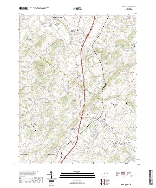 2022 Mount Sidney2022 Print · USGSThe Shenandoah Valley comes into focus in this recent survey, showing the busy corridor between Mt Sidney and Weyers Cave. Researchers can locate numerous local landmarks like Hernsberger Wynant Graveyard and Salem Evangelical Lutheran Church Cem.
 - 2022 Map of Bridgewater, 2022 Print
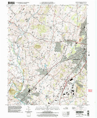
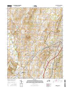
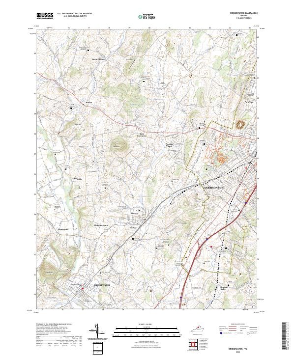 2022 Bridgewater2022 Print · USGSBridgewater and Harrisonburg are shown here in the early 2020s, revealing a landscape where academic institutions and deep-rooted faith communities converge. Researchers can trace family history through dozens of sites like Arey Family Cemetery, Bridgewater College, and Ridge View Old Order Mennonite Church Cemetery.
End of results
Showing maps 1-21 of 21
Top cities near Bridgewater
- Harrisonburg historical maps
- Massanetta Springs historical maps
- Verona historical maps
- Broadway historical maps
- Weyers Cave historical maps
- Grottoes historical maps
See more
Top neighborhoods of Bridgewater
Frequently asked questions
- What are the different types of historical maps available for Bridgewater?
- What is the oldest map of Bridgewater?
- Where can I purchase historical maps of Bridgewater for my home or office?
- Where can I download high-res historical maps of Bridgewater?
- Are there historical topographic maps available for Bridgewater?
- Is there historical aerial imagery available for Bridgewater?
- Where are historical maps of Bridgewater sourced from?