2000s (21st Century) Maps of Mount Crawford, Virginia
Explore 6 historic maps of Mount Crawford from the 2000s (21st Century). These maps offer a rare glimpse into what life looked like during the 2000s — showing old roads, neighborhoods, homes, and landmarks that have changed or disappeared over time.
Whether you're researching your family's past, planning a metal detecting trip, or studying how Mount Crawford's landscape evolved across the 2000s, these high-resolution maps are a powerful tool for exploring the history of this region.
- Focus on a specific era: All maps on this page are from the 2000s, giving you a focused view of this time period.
- See what’s changed: Compare century-old streets, trails, and buildings to today's modern landscape using overlays and satellite layers.
- Research with precision: Use these maps for genealogy, historical research, land use analysis, or educational projects.
- View, download, or print: Maps are fully viewable online in high resolution, and can be downloaded or printed for your own records.
Start exploring Mount Crawford's history through authentic maps from the 2000s. This is your window into the past.
Mount Crawford, VA maps
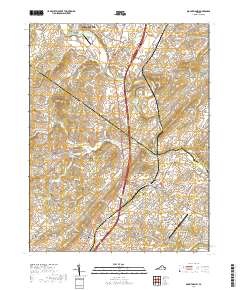
(6)- 2002 Map of Mount Sidney, 2004 Print
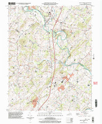 2002 Mount Sidney2004 Print · USGSThe Shenandoah Valley corridor near the Rockingham and Augusta county line is documented here just after the turn of the millennium. Genealogists and local historians can trace legacy sites like St Michaels Ch, the Old Salem Cem, and the rural community of Burketown.
 - 2010 Map of Mount Sidney, 2010 Print
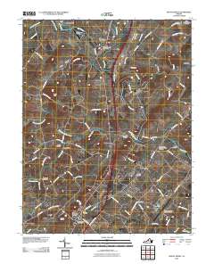 2010 Mount Sidney2010 Print · USGSCovers Mount Crawford, including Bridgewater, Weyers Cave, and other nearby areas
 - 2013 Map of Mount Sidney, 2013 Print
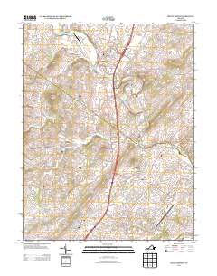 2013 Mount Sidney2013 Print · USGSCovers Mount Crawford, including Bridgewater, Weyers Cave, and other nearby areas
 - 2016 Map of Mount Sidney, 2016 Print
 2016 Mount Sidney2016 Print · USGSCovers Mount Crawford, including Bridgewater, Weyers Cave, and other nearby areas
 - 2019 Map of Mount Sidney, 2019 Print
 2019 Mount Sidney2019 Print · USGSCovers Mount Crawford, including Bridgewater, Weyers Cave, and other nearby areas
 - 2022 Map of Mount Sidney, 2022 Print
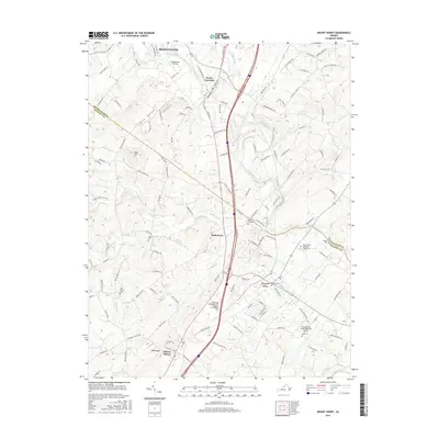
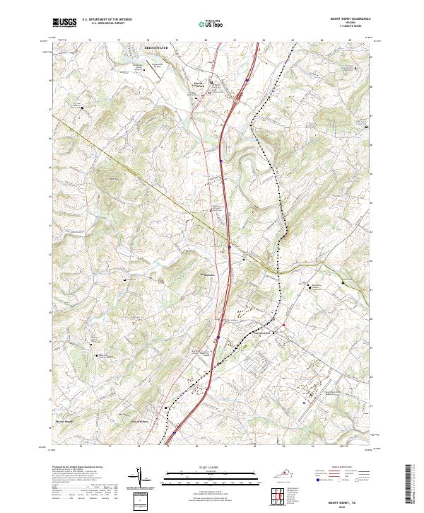 2022 Mount Sidney2022 Print · USGSThe Shenandoah Valley comes into focus in this recent survey, showing the busy corridor between Mt Sidney and Weyers Cave. Researchers can locate numerous local landmarks like Hernsberger Wynant Graveyard and Salem Evangelical Lutheran Church Cem.
End of results
Showing maps 1-6 of 6
Top cities near Mount Crawford
- Harrisonburg historical maps
- Staunton historical maps
- Massanetta Springs historical maps
- Bridgewater historical maps
- Verona historical maps
- Weyers Cave historical maps
See more
Frequently asked questions
- What are the different types of historical maps available for Mount Crawford?
- What is the oldest map of Mount Crawford?
- Where can I purchase historical maps of Mount Crawford for my home or office?
- Where can I download high-res historical maps of Mount Crawford?
- Are there historical topographic maps available for Mount Crawford?
- Is there historical aerial imagery available for Mount Crawford?
- Where are historical maps of Mount Crawford sourced from?