2020s Maps of Point Truth, Virginia
Explore 1 historic maps of Point Truth from the 2020s. These maps offer a rare glimpse into what life looked like during the 2020s — showing old roads, neighborhoods, homes, and landmarks that have changed or disappeared over time.
Whether you're researching your family's past, planning a metal detecting trip, or studying how Point Truth's landscape evolved across the 2020s, these high-resolution maps are a powerful tool for exploring the history of this region.
- Focus on a specific era: All maps on this page are from the 2020s, giving you a focused view of this time period.
- See what’s changed: Compare century-old streets, trails, and buildings to today's modern landscape using overlays and satellite layers.
- Research with precision: Use these maps for genealogy, historical research, land use analysis, or educational projects.
- View, download, or print: Maps are fully viewable online in high resolution, and can be downloaded or printed for your own records.
Start exploring Point Truth's history through authentic maps from the 2020s. This is your window into the past.
Point Truth, VA maps
(1)- 2022 Map of Moll Creek, 2022 Print
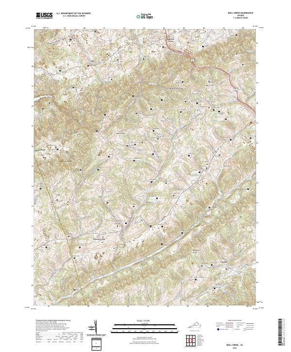 2022 Moll Creek2022 Print · USGSSouthwest Virginia's rugged Russell and Scott County borderlands are documented here, showing a landscape shaped by narrow valleys and deep family roots. Genealogists can trace decades of history through dozens of burial sites like Sebras Chapel Cem, Artrip Cem, and the high ridges near Banners Corner.
End of results
Showing maps 1-1 of 1
Top cities near Point Truth
- Kingsport historical maps
- Bristol historical maps
- Bristol historical maps
- Bloomingdale historical maps
- Blountville historical maps
- Wise historical maps
See more
Frequently asked questions
- What are the different types of historical maps available for Point Truth?
- What is the oldest map of Point Truth?
- Where can I purchase historical maps of Point Truth for my home or office?
- Where can I download high-res historical maps of Point Truth?
- Are there historical topographic maps available for Point Truth?
- Is there historical aerial imagery available for Point Truth?
- Where are historical maps of Point Truth sourced from?