Old Maps of Newsoms, Virginia for Genealogy
Trace your family roots with 31 historic maps of Newsoms. These high-res maps reveal old neighborhoods, homesites, landmarks, and streets — helping you uncover where your ancestors lived and how the area evolved over time.
- Explore historic neighborhoods: Identify where your relatives may have lived in the 1800s or 1900s.
- Compare maps over time: Trace the changes in streets, buildings, and landmarks for multi-generational research.
- Perfect for genealogy & ancestry research: Used by family historians and researchers to map out lineage and migration.
These maps are an incredible resource for exploring your personal connection to Newsoms's past.
Newsoms, VA maps
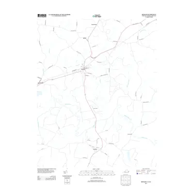
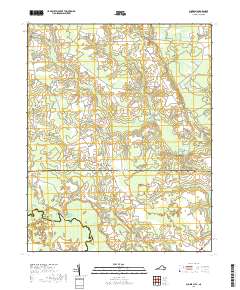
(31)- 1919 Map of Boykins
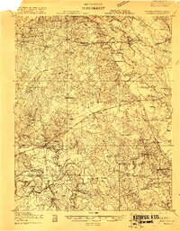 1919 Boykins1919 Print · USGSSouthampton County's borderlands are captured here at the end of the Great War, showing a landscape defined by river transport and rail. Genealogists can trace family footprints at Sandy Hill School, Smiths Mill, or Zion Hill Church.
 - 1920 Map of Boykins
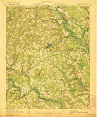 1920 Boykins1920 Print · USGSCoastal plain settlements near the Virginia and North Carolina line thrive along the river systems and railroads of the post-WWI era. Genealogists can trace family roots at Ebenezer Church, Johnsons School, and mills like Smiths Mill.2 unique versions available
 - 1953 Map of Norfolk, 1954 Print
 1953 Norfolk1954 Print · USGSCoastal Virginia and northeastern North Carolina appear here during the post-war industrial boom, showing the critical rail-and-sea connections of Hampton Roads. Genealogists can trace family roots through rural landmarks like Gethsemane Ch, the Caledonia State Prison Farm, and the vast interior of the Dismal Swamp.4 unique versions available
 - 1966 Map of Capron, 1968 Print
 1966 Capron1968 Print · USGSSouthampton County in the mid-sixties centered on the rail-side hubs of Capron and Newsoms as timber and agriculture drove the local economy. Researchers can locate numerous country churches such as Vincent Grove Ch and Bryant Ch, or trace the winding courses of Buckhorn Swamp and Roan Swamp.3 unique versions available
 - 1966 Map of Sunbeam, 1968 Print
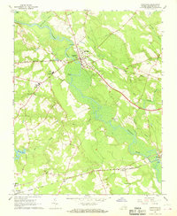
 1966 Sunbeam1968 Print · USGSCoastal plain life along the Virginia and North Carolina border comes into focus in the mid-1960s. Genealogists and local historians can trace rural family hubs at Newsoms, Statesville, and Como, or locate family sites near Harts Bridge and Windbourne Millpond.2 unique versions available
 - 1966 Map of Boykins, 1968 Print
 1966 Boykins1968 Print · USGSThe Virginia and North Carolina borderlands come to life in the 1960s, centered on the railroad crossing at Boykins. Researchers can trace the legacy of rural communities through markers like Beechwood Cem, Meherrin Sch, and the winding Meherrin River.2 unique versions available
 - 1967 Map of Courtland, 1968 Print
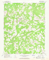
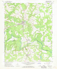
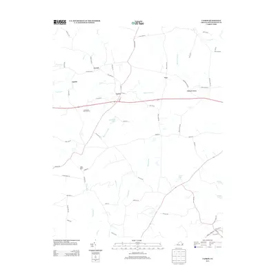
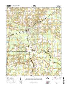
 1967 Courtland1968 Print · USGSSouthampton County during the late sixties reveals a landscape shaped by river bends and rail lines. Researchers can trace the layout of Courtland and Newsoms or locate local landmarks like Williams Chapel and Handsom.2 unique versions available
 - 1984 Map of Emporia, 1986 Print
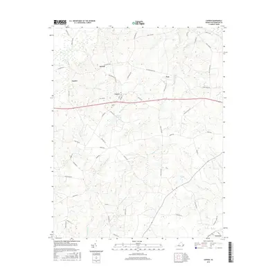
 1984 Emporia1986 Print · USGSSouthside Virginia and the North Carolina borderlands are captured here in the mid-1980s, centered on the transit hub of Emporia. Researchers can trace old rail corridors like the Seaboard System or locate historic sites including Fort Christanna and White Oak Ch.
 - 1990 Map of Emporia
 1990 Emporia1990 Print · USGSThe Southside Virginia borderlands are captured here in the late twentieth century, showing the critical rail and river networks of the region. Genealogists and local historians can trace family roots through rural communities like Alberta, Boykins, and Dolphin along the Meherrin River.
 - 1997 Map of Boykins, 2000 Print
 1997 Boykins2000 Print · USGSThe Virginia and North Carolina borderlands come into focus in the late nineties as a landscape of river bends and rail towns. Trace local roots at Beechwood Cem or locate rural landmarks like Galilee Ch and Meherrin Sch.
 - 1997 Map of Sunbeam, 2000 Print
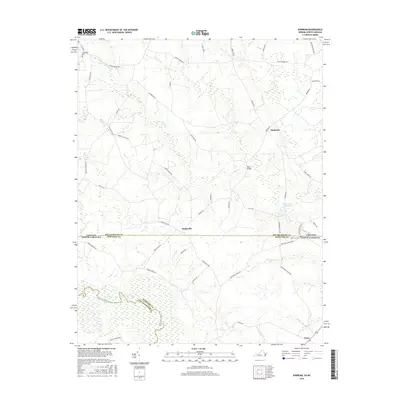
 1997 Sunbeam2000 Print · USGSThe Virginia and North Carolina state line runs through this late-century rural landscape, where small crossroads communities and millponds define the border country. Researchers can trace family sites at Hollywood Cem or follow old routes through Sunbeam and Statesville.
 - 2010 Map of Boykins, 2010 Print
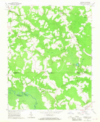
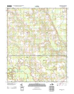
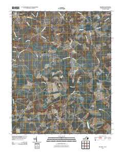 2010 Boykins2010 Print · USGSCovers Newsoms, including Boykins, Severn, and other nearby areas
 - 2010 Map of Capron, 2010 Print
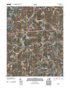 2010 Capron2010 Print · USGSCovers Newsoms, including Capron, Angelico, and other nearby areas
 - 2010 Map of Courtland, 2010 Print
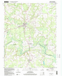
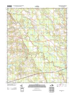
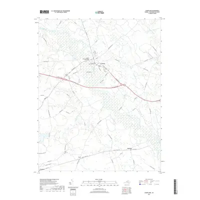
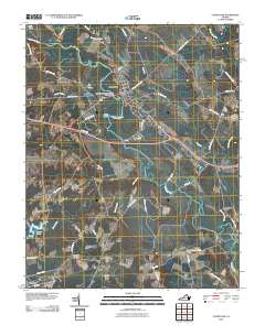 2010 Courtland2010 Print · USGSCovers Newsoms, including Courtland, Handsom, and other nearby areas
 - 2010 Map of Sunbeam, 2010 Print
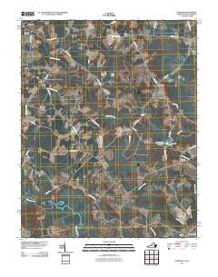 2010 Sunbeam2010 Print · USGSCovers Newsoms, including Como, Statesville, and other nearby areas
 - 2013 Map of Boykins, 2013 Print
 2013 Boykins2013 Print · USGSCovers Newsoms, including Boykins, Severn, and other nearby areas
 - 2013 Map of Sunbeam, 2013 Print
 2013 Sunbeam2013 Print · USGSCovers Newsoms, including Como, Statesville, and other nearby areas
 - 2013 Map of Courtland, 2013 Print
 2013 Courtland2013 Print · USGSCovers Newsoms, including Courtland, Handsom, and other nearby areas
 - 2013 Map of Capron, 2013 Print
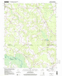
 2013 Capron2013 Print · USGSCovers Newsoms, including Capron, Angelico, and other nearby areas
 - 2016 Map of Capron, 2016 Print
 2016 Capron2016 Print · USGSCovers Newsoms, including Capron, Angelico, and other nearby areas
 - 2016 Map of Sunbeam, 2016 Print
 2016 Sunbeam2016 Print · USGSCovers Newsoms, including Como, Statesville, and other nearby areas
 - 2016 Map of Boykins, 2016 Print
 2016 Boykins2016 Print · USGSCovers Newsoms, including Boykins, Severn, and other nearby areas
 - 2016 Map of Courtland, 2016 Print
 2016 Courtland2016 Print · USGSCovers Newsoms, including Courtland, Handsom, and other nearby areas
 - 2019 Map of Courtland, 2019 Print
 2019 Courtland2019 Print · USGSCovers Newsoms, including Courtland, Handsom, and other nearby areas
 - 2019 Map of Sunbeam, 2019 Print
 2019 Sunbeam2019 Print · USGSCovers Newsoms, including Como, Statesville, and other nearby areas
Showing maps 1-25 of 31
Top cities near Newsoms
- Franklin historical maps
- Murfreesboro historical maps
- Courtland historical maps
- Winton historical maps
- Camptown historical maps
- Conway historical maps
See more
Frequently asked questions
- What are the different types of historical maps available for Newsoms?
- What is the oldest map of Newsoms?
- Where can I purchase historical maps of Newsoms for my home or office?
- Where can I download high-res historical maps of Newsoms?
- Are there historical topographic maps available for Newsoms?
- Is there historical aerial imagery available for Newsoms?
- Where are historical maps of Newsoms sourced from?