Old Maps of Greens Landing, Washington for Metal Detecting
Plan your next treasure hunt with 10 historic maps of Greens Landing. Find old homesites, ghost towns, trails, and gathering spots that may be lost to time — perfect for identifying promising metal detecting locations.
- Locate forgotten sites: Uncover places like long-lost settlements, abandoned rail lines, or gathering spots.
- Plan better hunts: Use map overlays combined with LiDAR or satellite views to narrow in on historically rich areas.
- Made for detectorists: Thousands of hobbyists use these maps to discover relics, coins, and hidden history.
Use these historic maps to boost your research and find new opportunities beneath the surface of Greens Landing.
Greens Landing, WA maps
(10)- 1901 Map of Chelan
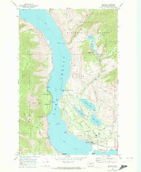
 1901 Chelan1901 Print · USGSNorth Central Washington is captured at the dawn of the twentieth century, showing the early development of the lake and river valleys. Researchers can trace the original Wapato Indian Reservation boundary and locate early townsites like Lakeside and Waterville.6 unique versions available
 - 1957 Map of Wenatchee, 1973 Print
 1957 Wenatchee1973 Print · USGSThe northern Cascades and Columbia River valley appear here in the mid-fifties, showing the region's critical rail and transit corridors. Researchers can trace the routes of the Great Northern RR and Milwaukee Road through settlements like Skykomish, Baring, and Dryden.2 unique versions available
 - 1968 Map of Manson, 1973 Print
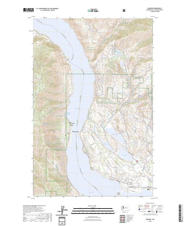
 1968 Manson1973 Print · USGSThe eastern shores of Lake Chelan and the Manson community are shown here during the late sixties. Genealogists and local historians can trace family-named sites and landmarks like Greens Landing, Willow Point, and the High Sch in Manson.2 unique versions available
 - 1975 Map of Chelan, 1977 Print
 1975 Chelan1977 Print · USGSThe northern Cascades meet the Columbia River in the mid-seventies, showing the deep glacial valleys and high plateaus of central Washington. Trace the legacy of mountain railroading through Tumwater Canyon and explore the lakeshore communities of Manson and Lakeside.2 unique versions available
 - 2004 Map of Manson, 2008 Print
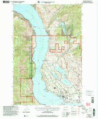 2004 Manson2008 Print · USGSThe eastern shores of Lake Chelan are shown in high detail at the start of the millennium, following several decades of growth in the Manson area. Researchers can trace land development around Wapato Lake and Roses Lake, or locate specific sites like Fields Point Landing and Old Mill Park.
 - 2011 Map of Manson, 2011 Print
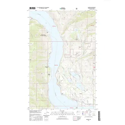
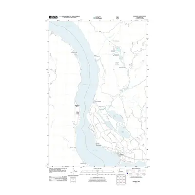 2011 Manson2011 Print · USGSCovers Greens Landing, including Shrine Beach, Granite Falls, and other nearby areas
 - 2014 Map of Manson, 2014 Print
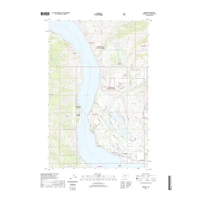
 2014 Manson2014 Print · USGSCovers Greens Landing, including Shrine Beach, Granite Falls, and other nearby areas
 - 2017 Map of Manson, 2017 Print
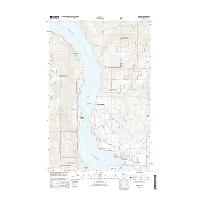
 2017 Manson2017 Print · USGSCovers Greens Landing, including Shrine Beach, Granite Falls, and other nearby areas
 - 2020 Map of Manson, 2020 Print
 2020 Manson2020 Print · USGSCovers Greens Landing, including Shrine Beach, Granite Falls, and other nearby areas
 - 2023 Map of Manson, 2023 Print
 2023 Manson2023 Print · USGSThe eastern shores of Lake Chelan come into focus here, showing the community of Manson and its surrounding highland lakes. Genealogists and local historians can trace family-named sites and landmarks like the Manson Indian Cem, Fields Point, and the path of the Lake Chelan Ferry.
End of results
Showing maps 1-10 of 10
Top cities near Greens Landing
Frequently asked questions
- What are the different types of historical maps available for Greens Landing?
- What is the oldest map of Greens Landing?
- Where can I purchase historical maps of Greens Landing for my home or office?
- Where can I download high-res historical maps of Greens Landing?
- Are there historical topographic maps available for Greens Landing?
- Is there historical aerial imagery available for Greens Landing?
- Where are historical maps of Greens Landing sourced from?