2000s (21st Century) Maps of Winton, Washington
Explore 6 historic maps of Winton from the 2000s (21st Century). These maps offer a rare glimpse into what life looked like during the 2000s — showing old roads, neighborhoods, homes, and landmarks that have changed or disappeared over time.
Whether you're researching your family's past, planning a metal detecting trip, or studying how Winton's landscape evolved across the 2000s, these high-resolution maps are a powerful tool for exploring the history of this region.
- Focus on a specific era: All maps on this page are from the 2000s, giving you a focused view of this time period.
- See what’s changed: Compare century-old streets, trails, and buildings to today's modern landscape using overlays and satellite layers.
- Research with precision: Use these maps for genealogy, historical research, land use analysis, or educational projects.
- View, download, or print: Maps are fully viewable online in high resolution, and can be downloaded or printed for your own records.
Start exploring Winton's history through authentic maps from the 2000s. This is your window into the past.
Winton, WA maps
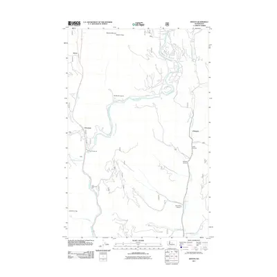
(6)- 2003 Map of Winton, 2006 Print
 2003 Winton2006 Print · USGSChelan County is documented at the dawn of the new millennium as the mountain wilderness meets the Wenatchee River corridor. Researchers can identify local landmarks like the Winton settlement, the Hatchery near Chiwaukum, and the Swift Water Rapids.
 - 2011 Map of Winton, 2011 Print
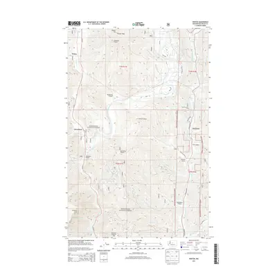
 2011 Winton2011 Print · USGSCovers Winton, including Chumstick, Chelan County, and other nearby areas
 - 2014 Map of Winton, 2014 Print
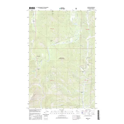
 2014 Winton2014 Print · USGSCovers Winton, including Chumstick, Chelan County, and other nearby areas
 - 2017 Map of Winton, 2017 Print
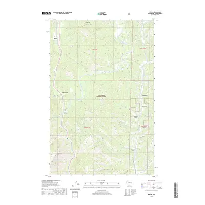
 2017 Winton2017 Print · USGSCovers Winton, including Chumstick, Chelan County, and other nearby areas
 - 2020 Map of Winton, 2020 Print
 2020 Winton2020 Print · USGSCovers Winton, including Chumstick, Chelan County, and other nearby areas
 - 2023 Map of Winton, 2023 Print
 2023 Winton2023 Print · USGSThe Wenatchee River valley in the early twenty-first century remains defined by its steep peaks and remote settlements. Researchers can trace the drainages of Chiwaukum Creek and Skinney Creek or locate the historic sites of Winton and Chumstick.
End of results
Showing maps 1-6 of 6
Top cities near Winton
Frequently asked questions
- What are the different types of historical maps available for Winton?
- What is the oldest map of Winton?
- Where can I purchase historical maps of Winton for my home or office?
- Where can I download high-res historical maps of Winton?
- Are there historical topographic maps available for Winton?
- Is there historical aerial imagery available for Winton?
- Where are historical maps of Winton sourced from?