Old Maps of Midway, Washington for Genealogy
Trace your family roots with 11 historic maps of Midway. These high-res maps reveal old neighborhoods, homesites, landmarks, and streets — helping you uncover where your ancestors lived and how the area evolved over time.
- Explore historic neighborhoods: Identify where your relatives may have lived in the 1800s or 1900s.
- Compare maps over time: Trace the changes in streets, buildings, and landmarks for multi-generational research.
- Perfect for genealogy & ancestry research: Used by family historians and researchers to map out lineage and migration.
These maps are an incredible resource for exploring your personal connection to Midway's past.
Midway, WA maps
(11)- 1938 Map of Cape Flattery
 1938 Cape Flattery1938 Print · USGSThe Makah Reservation and the extreme northwestern tip of Washington are captured here in the late 1930s. Genealogists can trace early homesteads like Tylers Ranch and Holdens Ranch, or locate community landmarks such as Washburns Cannery and the Neah Bay S H.
 - 1953 Map of Cape Flattery, 1968 Print
 1953 Cape Flattery1968 Print · USGSThe maritime border between Washington and British Columbia comes into sharp focus during the mid-century, detailing the remote coastal reaches of both nations. Researchers can trace the layout of the Makah Indian Res and fishing outposts like Sekiu and Port Renfrew.2 unique versions available
 - 1957 Map of Cape Flattery, 1959 Print
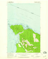 1957 Cape Flattery1959 Print · USGSThe Makah Indian Reservation is mapped here in the late fifties, showcasing its maritime geography and military presence. Researchers can trace land use through the Washburn Ranch, the Coast Guard Station, and old RR Grade remnants.2 unique versions available
 - 1963 Map of Cape Flattery
 1963 Cape Flattery1963 Print · USGSThe Pacific Northwest coast and the entrance to the Puget Sound are captured in detail during the early 1960s. Researchers can trace remote coastal settlements and tribal lands including the Makah Indian Reserve, Port Renfrew, and the timber town of Sekiu.
 - 1984 Map of Cape Flattery
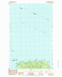 1984 Cape Flattery1984 Print · USGSThe northwest tip of the Olympic Peninsula is captured here in the mid-1980s at the meeting of the Pacific and the Strait of Juan de Fuca. Maritime historians and genealogists can locate the Lighthouse on Tatoosh Island, the US Coast Guard Reservation, and coastal Makah sites like Warmhouse Beach.
 - 1986 Map of Cape Flattery, 1987 Print
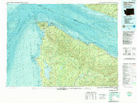 1986 Cape Flattery1987 Print · USGSThe tip of the Olympic Peninsula and the waters of the Strait of Juan de Fuca are captured here in the mid-eighties. Researchers can trace tribal lands like the Makah Indian Reservation, the remote Old Royal settlement, and maritime landmarks like Cemetery Point.
 - 2011 Map of Cape Flattery, 2011 Print
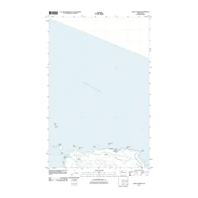 2011 Cape Flattery2011 Print · USGSThe Olympic Peninsula's northwestern edge comes into focus during the early 2010s, showing where the Makah Reservation meets the sea. Researchers can trace landforms like Tatoosh Island and Fuca Pillar, or locate settlements at Midway and Classet.
 - 2014 Map of Cape Flattery, 2014 Print
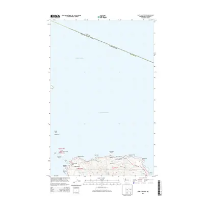 2014 Cape Flattery2014 Print · USGSThe northwestern tip of the Olympic Peninsula is documented here in the early twenty-first century as the Pacific meets the Strait of Juan de Fuca. Maritime researchers and historians can locate the Cape Flattery Lighthouse, the settlement at Classet, and coastal landmarks like Tatoosh Island and Fuca Pillar.
 - 2017 Map of Cape Flattery, 2017 Print
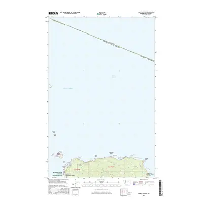 2017 Cape Flattery2017 Print · USGSThe northwestern tip of Washington is captured here in the late twenty-teens, showing the transition from the Pacific to the Strait of Juan de Fuca. Researchers can trace the rugged shoreline from Tatoosh Island to the sea stacks at Fuca Pillar and the small settlement at Midway.
 - 2020 Map of Cape Flattery, 2020 Print
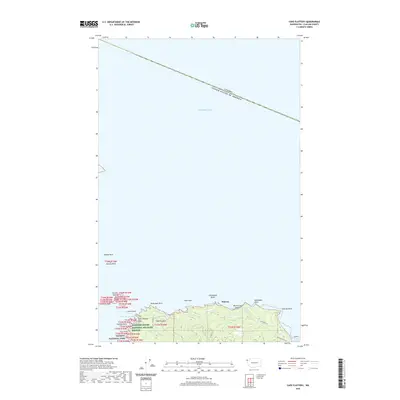 2020 Cape Flattery2020 Print · USGSThe northwesternmost point of the contiguous United States is documented here in the early twenty-first century. Maritime researchers and historians can trace the rugged coast from Tatoosh Island to Midway, locating landmarks like Fuca Pillar and Duncan Rock.
 - 2023 Map of Cape Flattery, 2023 Print
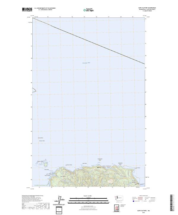 2023 Cape Flattery2023 Print · USGSThe tip of the Olympic Peninsula is documented here in the early twenty-first century, showing the rugged interface of the Salish Sea and the Pacific. Researchers can trace the coastline from Tatoosh Island to Midway and identify landmarks like Hole-in-the-Wall.
End of results
Showing maps 1-11 of 11
Top cities near Midway
Frequently asked questions
- What are the different types of historical maps available for Midway?
- What is the oldest map of Midway?
- Where can I purchase historical maps of Midway for my home or office?
- Where can I download high-res historical maps of Midway?
- Are there historical topographic maps available for Midway?
- Is there historical aerial imagery available for Midway?
- Where are historical maps of Midway sourced from?