Old Maps of Sekiu, Washington for Hiking & Exploration
Hike through history with 8 historic maps of Sekiu. Explore old trails, ghost towns, and forgotten backroads — perfect for outdoor adventurers and local explorers.
- Rediscover forgotten places: Map out old mining camps, roads, and footpaths that no longer exist on modern maps.
- Layer with modern tools: Combine with LiDAR or satellite views to plan hikes through historical terrain.
- Made for exploration: Popular among hikers, overlanders, and local history lovers.
Use these maps to find adventure and explore the hidden past of Sekiu.
Sekiu, WA maps
(8)- 1935 Map of Clallam, 1947 Print
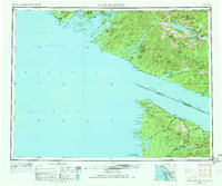
 1935 Clallam1947 Print · USGSThe Olympic Peninsula coast at the start of the mid-century era shows a landscape of isolated homesteads and maritime landings. Researchers can trace the early footprints of coastal ranching at the George Clarke Ranch or locate the historic timber and fishing hubs of Sekiu and Clallam Bay.
 - 1942 Map of Clallam
 1942 Clallam1942 Print · USGSThe northern Olympic Peninsula coastline is captured here during the early war years, showing the international boundary across the Strait of Juan de Fuca. Genealogists can trace early homesteads like Lambs Ranch and the Kenneth Cowan Ranch, alongside coastal landmarks like Hoko and Sekiu.
 - 1953 Map of Cape Flattery, 1968 Print
 1953 Cape Flattery1968 Print · USGSThe maritime border between Washington and British Columbia comes into sharp focus during the mid-century, detailing the remote coastal reaches of both nations. Researchers can trace the layout of the Makah Indian Res and fishing outposts like Sekiu and Port Renfrew.2 unique versions available
 - 1957 Map of Clallam Bay, 1959 Print
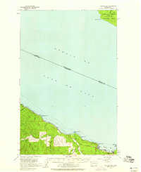 1957 Clallam Bay1959 Print · USGSThe Olympic Peninsula shoreline and the international waters of the STRAIT OF JUAN DE FUCA are captured here in the late fifties. Map collectors and historians can trace the paths of a LOGGING RAILROAD and coastal settlements like Sekiu and Clallam Bay.3 unique versions available
 - 1963 Map of Cape Flattery
 1963 Cape Flattery1963 Print · USGSThe Pacific Northwest coast and the entrance to the Puget Sound are captured in detail during the early 1960s. Researchers can trace remote coastal settlements and tribal lands including the Makah Indian Reserve, Port Renfrew, and the timber town of Sekiu.
 - 1984 Map of Clallam Bay
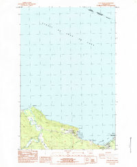 1984 Clallam Bay1984 Print · USGSCoastal life in the mid-1980s along the Olympic Peninsula is centered on the maritime settlements of Sekiu and Clallam Bay. Researchers can trace the river systems of the Hoko River and find landmarks like Slip Point and the Sekiu Airport.
 - 1986 Map of Cape Flattery, 1987 Print
 1986 Cape Flattery1987 Print · USGSThe tip of the Olympic Peninsula and the waters of the Strait of Juan de Fuca are captured here in the mid-eighties. Researchers can trace tribal lands like the Makah Indian Reservation, the remote Old Royal settlement, and maritime landmarks like Cemetery Point.
 - 2023 Map of Clallam Bay, 2023 Print
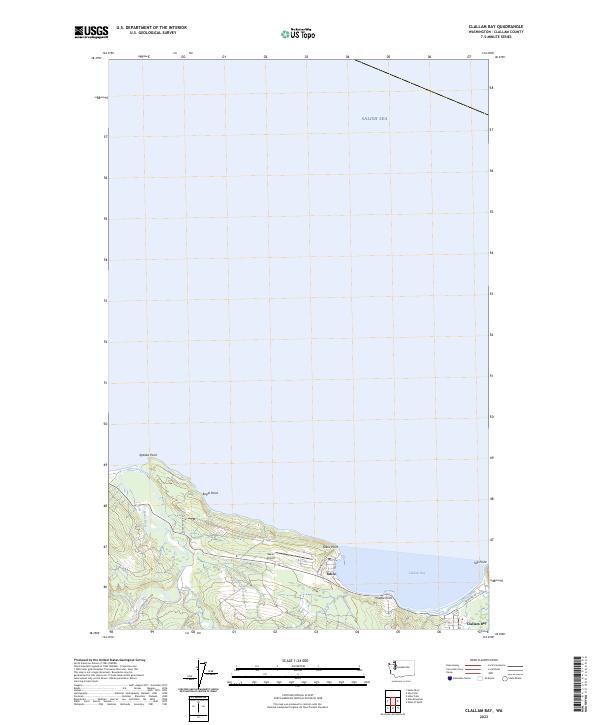 2023 Clallam Bay2023 Print · USGSThe Olympic Peninsula shoreline comes into focus in this contemporary survey of the coast along the Salish Sea. Researchers can trace the coastal developments of Sekiu and Clallam Bay, or locate landmarks like Sekiu Airport and Slip Point.
End of results
Showing maps 1-8 of 8
Top cities near Sekiu
Frequently asked questions
- What are the different types of historical maps available for Sekiu?
- What is the oldest map of Sekiu?
- Where can I purchase historical maps of Sekiu for my home or office?
- Where can I download high-res historical maps of Sekiu?
- Are there historical topographic maps available for Sekiu?
- Is there historical aerial imagery available for Sekiu?
- Where are historical maps of Sekiu sourced from?