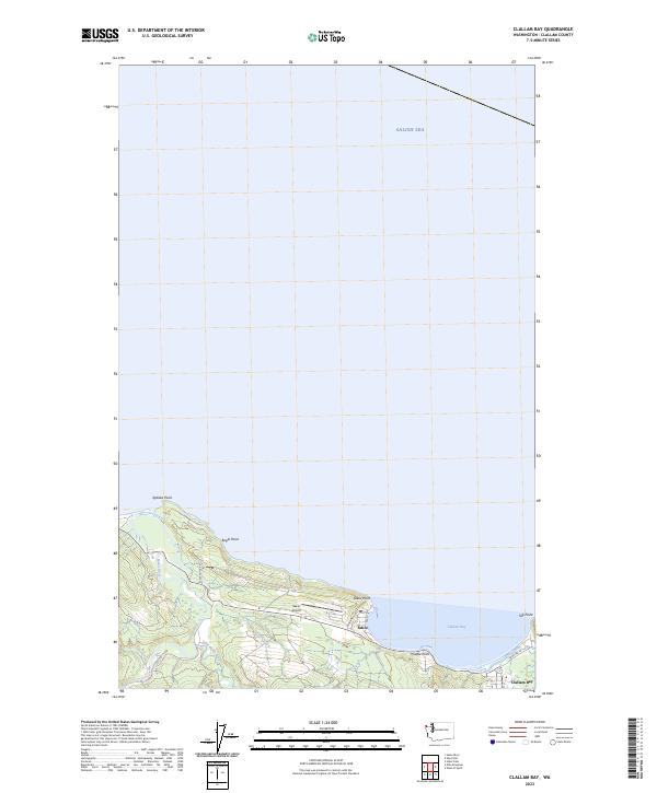
2023 Map of Clallam Bay
USGS Topo · Published 2023About this map
Clallam Bay and Sekiu anchor the southern shoreline of the Salish Sea in this topographic study of Washington's Olympic Peninsula coast. The landscape is defined by its maritime geography, with a series of prominent headlands including Kydaka Point, Eagle Point, Sekiu Point, and Middle Point reaching into the water. To the east, Slip Point marks the protective edge of the bay itself, sheltering the local settlements.
Find a feature on this map
21 named features on this map. Tap any name to fly to it.
Don’t see what you’re looking for? This feature index may not catch every label — zoom into the map to look around manually.
Map Details
Editions of this 2023 Clallam Bay Map
This is the sole edition of this map. No revisions or reprints were ever made.
Other maps of this area
1922 · Pysht
USGS Topo · 1:62,500
1935 · Clallam
USGS Topo · 1:62,500
1935 · Lake Pleasant
USGS Topo · 1:62,500
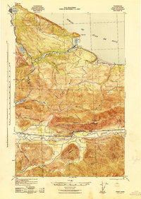
1942 · Pysht
USGS Topo · 1:62,500
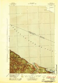
1942 · Clallam
USGS Topo · 1:62,500
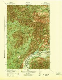
1942 · Lake Pleasant
USGS Topo · 1:62,500
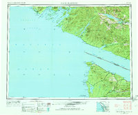
1953 · Cape Flattery
USGS Topo · 1:250,000
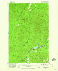
1957 · Lake Pleasant
USGS Topo · 1:62,500
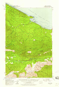
1957 · Pysht
USGS Topo · 1:62,500
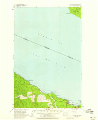
1957 · Clallam Bay
USGS Topo · 1:62,500