2000s (21st Century) Maps of Proebstel, Clark County
Explore 17 historic maps of Proebstel from the 2000s (21st Century). These maps offer a rare glimpse into what life looked like during the 2000s — showing old roads, neighborhoods, homes, and landmarks that have changed or disappeared over time.
Whether you're researching your family's past, planning a metal detecting trip, or studying how Proebstel's landscape evolved across the 2000s, these high-resolution maps are a powerful tool for exploring the history of this region.
- Focus on a specific era: All maps on this page are from the 2000s, giving you a focused view of this time period.
- See what’s changed: Compare century-old streets, trails, and buildings to today's modern landscape using overlays and satellite layers.
- Research with precision: Use these maps for genealogy, historical research, land use analysis, or educational projects.
- View, download, or print: Maps are fully viewable online in high resolution, and can be downloaded or printed for your own records.
Start exploring Proebstel's history through authentic maps from the 2000s. This is your window into the past.
Proebstel, Clark County maps
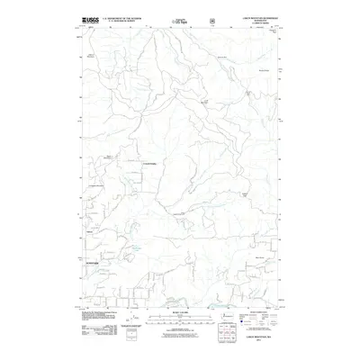
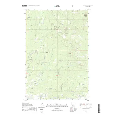
(17)- 2000 Map of Larch Mountain, 2003 Print
 2000 Larch Mountain2003 Print · USGSClark County woodland and mountain terrain are meticulously detailed in the late twentieth century, showing a mix of state and national forests. Researchers can trace land use through the Larch Corrections Center, Camp Bonneville Military Reservation, and the Tarbell Trail.
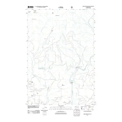
 - 2000 Map of Bobs Mountain, 2003 Print
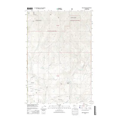
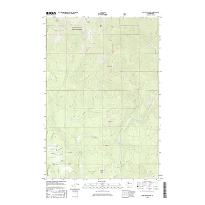
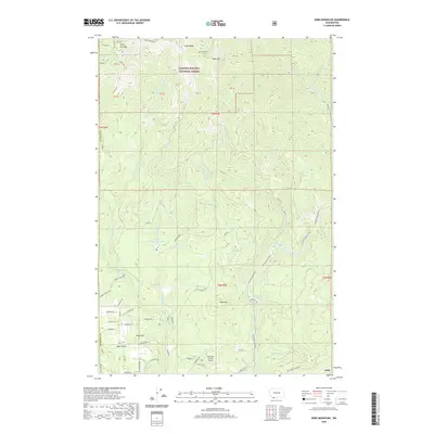
 2000 Bobs Mountain2003 Print · USGSSkamania and Clark counties appear at the turn of the millennium as a landscape of timber management and mountain recreation. Trace the history of high-altitude extraction and lore at the Skamania Mine and the ancient Silver Star Indian Pits.
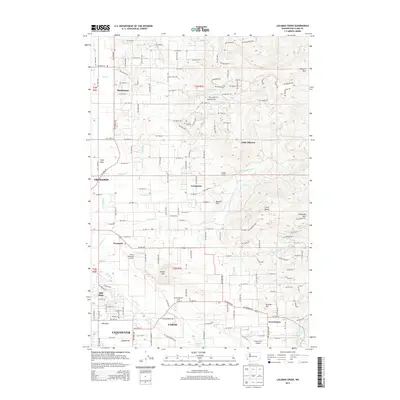
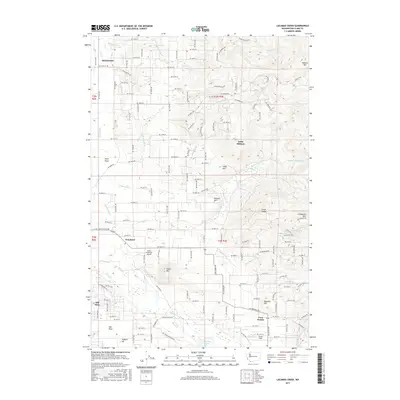
 - 2011 Map of Lacamas Creek, 2011 Print
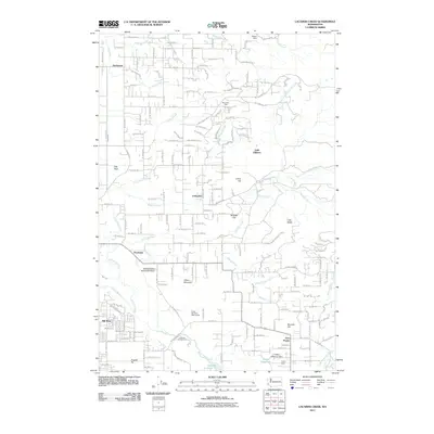 2011 Lacamas Creek2011 Print · USGSCovers Proebstel, including Vancouver, Camas, and other nearby areas
 - 2011 Map of Larch Mountain, 2011 Print
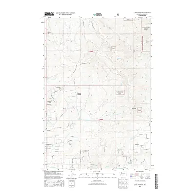
 2011 Larch Mountain2011 Print · USGSCovers Proebstel, including Sunnyside, Creswell Heights, and other nearby areas
 - 2011 Map of Bobs Mountain, 2011 Print
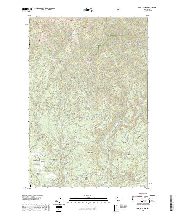
 2011 Bobs Mountain2011 Print · USGSCovers Proebstel, including Clark County, Skamania County, and other nearby areas
 - 2013 Map of Lacamas Creek, 2013 Print
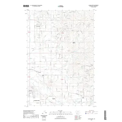
 2013 Lacamas Creek2013 Print · USGSCovers Proebstel, including Vancouver, Camas, and other nearby areas
 - 2013 Map of Bobs Mountain, 2013 Print
 2013 Bobs Mountain2013 Print · USGSCovers Proebstel, including Clark County, Skamania County, and other nearby areas
 - 2014 Map of Larch Mountain, 2014 Print
 2014 Larch Mountain2014 Print · USGSCovers Proebstel, including Sunnyside, Creswell Heights, and other nearby areas
 - 2017 Map of Larch Mountain, 2017 Print
 2017 Larch Mountain2017 Print · USGSCovers Proebstel, including Sunnyside, Creswell Heights, and other nearby areas
 - 2017 Map of Lacamas Creek, 2017 Print
 2017 Lacamas Creek2017 Print · USGSCovers Proebstel, including Vancouver, Camas, and other nearby areas
 - 2017 Map of Bobs Mountain, 2017 Print
 2017 Bobs Mountain2017 Print · USGSCovers Proebstel, including Clark County, Skamania County, and other nearby areas
 - 2020 Map of Lacamas Creek, 2020 Print
 2020 Lacamas Creek2020 Print · USGSCovers Proebstel, including Vancouver, Camas, and other nearby areas
 - 2020 Map of Larch Mountain, 2020 Print
 2020 Larch Mountain2020 Print · USGSCovers Proebstel, including Sunnyside, Creswell Heights, and other nearby areas
 - 2020 Map of Bobs Mountain, 2020 Print
 2020 Bobs Mountain2020 Print · USGSCovers Proebstel, including Clark County, Skamania County, and other nearby areas
 - 2023 Map of Bobs Mountain, 2023 Print
 2023 Bobs Mountain2023 Print · USGSSkamania County's high ridges and river valleys are captured here in the early twenty-first century, showing the intersection of wilderness and rural life. Researchers can trace land use through the Sky River Ranch Airport, the Camp Kwoneesum Dam, and the old Skamania Mines Rd.
 - 2023 Map of Larch Mountain, 2023 Print
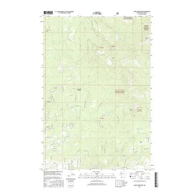
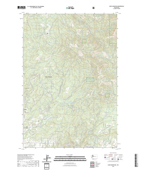 2023 Larch Mountain2023 Print · USGSThe foothills of Clark County meet the Cascades in this recent survey of the transition from rural settlements to timbered peaks. Local historians can trace the road networks around Fern Prairie and Ireland or locate mountain landmarks like Spud Mtn and Bear Prairie.
 - 2023 Map of Lacamas Creek, 2023 Print
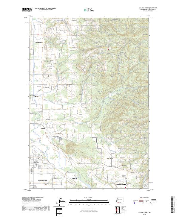 2023 Lacamas Creek2023 Print · USGSClark County's transition from suburban Vancouver to the Cascade foothills is captured in this recent survey. Researchers can trace the development of Hockinson and Fern Prairie, or locate landmarks like Green Mountain Airport and English Pit.
End of results
Showing maps 1-17 of 17
Frequently asked questions
- What are the different types of historical maps available for Proebstel?
- What is the oldest map of Proebstel?
- Where can I purchase historical maps of Proebstel for my home or office?
- Where can I download high-res historical maps of Proebstel?
- Are there historical topographic maps available for Proebstel?
- Is there historical aerial imagery available for Proebstel?
- Where are historical maps of Proebstel sourced from?