Old Maps of Proebstel, Clark County for Genealogy
Trace your family roots with 33 historic maps of Proebstel. These high-res maps reveal old neighborhoods, homesites, landmarks, and streets — helping you uncover where your ancestors lived and how the area evolved over time.
- Explore historic neighborhoods: Identify where your relatives may have lived in the 1800s or 1900s.
- Compare maps over time: Trace the changes in streets, buildings, and landmarks for multi-generational research.
- Perfect for genealogy & ancestry research: Used by family historians and researchers to map out lineage and migration.
These maps are an incredible resource for exploring your personal connection to Proebstel's past.
Proebstel, Clark County maps
(33)- 1918 Map of Troutdale
 1918 Troutdale1918 Print · USGSEast of Portland in the late nineteen-teens, the riverfront and rail lines were transforming the landscape of Multnomah County. Genealogists and historians can trace family roots at the Multnomah County Farm, Sundial Ranch, and small rural schools like Cedar School.2 unique versions available
 - 1934 Map of Troutdale
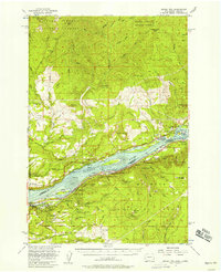
 1934 Troutdale1934 Print · USGSThe Columbia River shoreline and the wooded hills of Clark County come alive in this mid-1930s survey of the riverfront. Researchers can trace early rural life through Washougal and local landmarks like Fern Prairie Grange, Lackamas Lake, and the Silver Star Mine.
 - 1941 Map of Camas
 1941 Camas1941 Print · USGSThe Columbia River corridor is captured here just before the mid-century, showing the bustling industrial towns of Camas and Washougal alongside a rural network of country schools. Genealogists and historians can trace family roots through landmarks like the Silver Star Mine, Cemetery Hill, and dozens of local schoolhouses such as Harmony Sch.
 - 1942 Map of Camas
 1942 Camas1942 Print · USGSThe Columbia River corridor is captured here in the early 1940s, showing the industrial heart of Camas and the rural outskirts of Gresham. Genealogists and historians can trace early schools like Twelvemile Corner Sch and the location of the Silver Star Mine.2 unique versions available
 - 1948 Map of Vancouver, 1957 Print
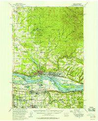
 1948 Vancouver1957 Print · USGSPost-war growth transforms the river valleys of the Pacific Northwest as the timber and rail economy thrives. Trace family roots in Tillamook or Oregon City, and locate vanished landmarks like the spit at Bayocean or the Skamania Mine.
 - 1950 Map of Vancouver
 1950 Vancouver1950 Print · USGSCoastal Oregon and the lower Columbia River valley are captured in detail just after the war. Researchers can trace historic rail routes like the Southern Pacific or locate early settlements such as Vernonia, Gaston, and the Grand Ronde Indian Reservation.
 - 1950 Map of Vancouver, 1951 Print
 1950 Vancouver1951 Print · USGSThe Pacific Northwest urban corridor meets the rugged coast in the years following the war, showing the expansion of Portland and Vancouver. Genealogists and historians can trace the reach of the Southern Pacific RR and locate coastal communities like Tillamook, Seaside, and Tolovana Park.
 - 1954 Map of Lacamas Creek, 1956 Print
 1954 Lacamas Creek1956 Print · USGSMid-century Clark County comes into focus as a landscape of rural crossroads and military outposts before the arrival of modern suburban expansion. Genealogists and historians can trace family-named sites like Brunner Hill or locate the historic China Ditch and Camp Bonneville.4 unique versions available
 - 1954 Map of Bridal Veil, 1958 Print
 1954 Bridal Veil1958 Print · USGSThe Columbia River Gorge in the mid-1950s was a bustling corridor of rail lines and early highways. Genealogists and historians can trace the foundations of riverside communities like Bridal Veil and Dodson or locate industrial sites like the Skamania Mine.4 unique versions available
 - 1954 Map of Camas, 1958 Print
 1954 Camas1958 Print · USGSThe Columbia River corridor in the mid-fifties shows the industrial growth of Camas and Washougal alongside the evolving suburbs of Gresham and Troutdale. Researchers can trace old school districts like Norway Sch and follow the S P & S RY through the river valley.3 unique versions available
 - 1958 Map of Vancouver, 1968 Print
 1958 Vancouver1968 Print · USGSThe Lower Columbia and Willamette valleys thrive in the late sixties as major rail and river hubs. Genealogists and historians can trace the development of Portland, identify the grounds of Camp Withycombe, and locate coastal landmarks from Tillamook Head to Garibaldi.3 unique versions available
 - 1964 Map of Vancouver
 1964 Vancouver1964 Print · USGSThe Pacific Northwest interior and coast are shown here in the 1960s, from the Portland metropolitan hub to the rugged Pacific shoreline. Researchers can trace the legacy of the Grand Ronde Indian Reservation, the early layout of McMinnville, and the maritime approaches near Tillamook Head.
 - 1979 Map of Vancouver, 1980 Print
 1979 Vancouver1980 Print · USGSThe Portland and Vancouver metropolitan area is captured here in the late seventies, showing the dense nexus of river, rail, and air transit. Genealogists and local historians can trace the footprints of Vancouver Barracks, Lincoln Memorial Park Cem, and the old rail lines of the Burlington Northern.2 unique versions available
 - 1986 Map of Bobs Mountain
 1986 Bobs Mountain1986 Print · USGSSkamania County's forested ridges and river valleys are captured here in the mid-1980s during a period of active timber and land management. Researchers can locate remote industrial sites like the Skamania Mine and Last Chance Mine or archaeological landmarks like the Silver Star Indian Pits.2 unique versions available
 - 1986 Map of Larch Mtn
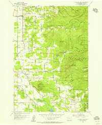
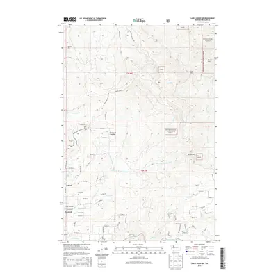
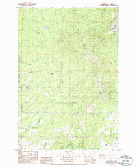 1986 Larch Mtn1986 Print · USGSClark County's rugged eastern highlands are captured here in the mid-1980s, where public forests meet institutional and military lands. Trace the remote network of 4WD trails leading to landmarks like Larch Mtn, Sturgeon Rock, and the Larch Corrections Center.2 unique versions available
 - 1990 Map of Lacamas Creek, 1995 Print
 1990 Lacamas Creek1995 Print · USGSNortheast of Vancouver in the early nineties, this area shows a landscape defined by military land and rural crossroads. Genealogists and researchers can trace local landmarks from Hockinson and Fern Prairie to industrial sites like the English Pit and Grove Field.
 - 2000 Map of Larch Mountain, 2003 Print
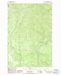
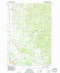
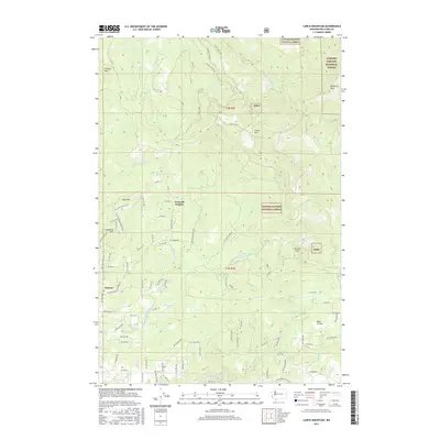
 2000 Larch Mountain2003 Print · USGSClark County woodland and mountain terrain are meticulously detailed in the late twentieth century, showing a mix of state and national forests. Researchers can trace land use through the Larch Corrections Center, Camp Bonneville Military Reservation, and the Tarbell Trail.
 - 2000 Map of Bobs Mountain, 2003 Print
 2000 Bobs Mountain2003 Print · USGSSkamania and Clark counties appear at the turn of the millennium as a landscape of timber management and mountain recreation. Trace the history of high-altitude extraction and lore at the Skamania Mine and the ancient Silver Star Indian Pits.
 - 2011 Map of Lacamas Creek, 2011 Print
 2011 Lacamas Creek2011 Print · USGSCovers Proebstel, including Vancouver, Camas, and other nearby areas
 - 2011 Map of Larch Mountain, 2011 Print
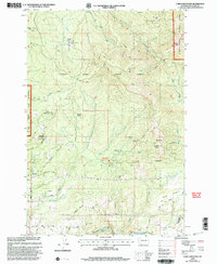
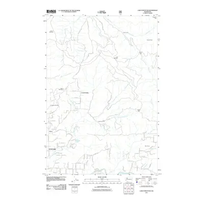 2011 Larch Mountain2011 Print · USGSCovers Proebstel, including Sunnyside, Creswell Heights, and other nearby areas
 - 2011 Map of Bobs Mountain, 2011 Print
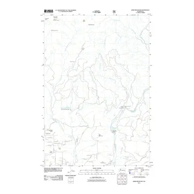 2011 Bobs Mountain2011 Print · USGSCovers Proebstel, including Clark County, Skamania County, and other nearby areas
 - 2013 Map of Lacamas Creek, 2013 Print
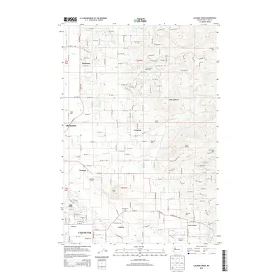 2013 Lacamas Creek2013 Print · USGSCovers Proebstel, including Vancouver, Camas, and other nearby areas
 - 2013 Map of Bobs Mountain, 2013 Print
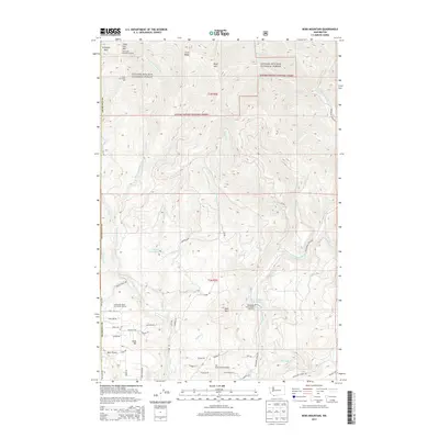 2013 Bobs Mountain2013 Print · USGSCovers Proebstel, including Clark County, Skamania County, and other nearby areas
 - 2014 Map of Larch Mountain, 2014 Print
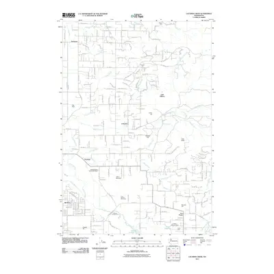
 2014 Larch Mountain2014 Print · USGSCovers Proebstel, including Sunnyside, Creswell Heights, and other nearby areas
 - 2017 Map of Larch Mountain, 2017 Print
 2017 Larch Mountain2017 Print · USGSCovers Proebstel, including Sunnyside, Creswell Heights, and other nearby areas
Showing maps 1-25 of 33
Frequently asked questions
- What are the different types of historical maps available for Proebstel?
- What is the oldest map of Proebstel?
- Where can I purchase historical maps of Proebstel for my home or office?
- Where can I download high-res historical maps of Proebstel?
- Are there historical topographic maps available for Proebstel?
- Is there historical aerial imagery available for Proebstel?
- Where are historical maps of Proebstel sourced from?