Old Maps of Fruit Valley, Vancouver for Metal Detecting
Plan your next treasure hunt with 39 historic maps of Fruit Valley. Find old homesites, ghost towns, trails, and gathering spots that may be lost to time — perfect for identifying promising metal detecting locations.
- Locate forgotten sites: Uncover places like long-lost settlements, abandoned rail lines, or gathering spots.
- Plan better hunts: Use map overlays combined with LiDAR or satellite views to narrow in on historically rich areas.
- Made for detectorists: Thousands of hobbyists use these maps to discover relics, coins, and hidden history.
Use these historic maps to boost your research and find new opportunities beneath the surface of Fruit Valley.
Fruit Valley, Vancouver maps
(39)- 1897 Map of Portland
 1897 Portland1897 Print · USGSThe Portland and Vancouver riverfronts appear here at a pivotal moment in the 1890s. Trace the early city street grids and rail terminals alongside landmark sites like Vancouver Barracks, Portland University, and Swan Island.2 unique versions available
 - 1905 Map of Portland
 1905 Portland1905 Print · USGSGreater Portland and Vancouver are seen here during the era of the Lewis and Clark Exposition, when river traffic and early electric rail lines defined the region. Researchers can locate the Lewis and Clark Centennial Exposition, the historic Vancouver Barracks, and Munday's Ferry.8 unique versions available
 - 1915 Map of Hillsboro
 1915 Hillsboro1915 Print · USGSThe Tualatin Valley and the confluence of the Columbia and Willamette rivers are shown here at the peak of the electric rail era. Researchers can trace historic family schoolhouses like Mason Hill School and vanished landings such as Blurock Landing.
 - 1918 Map of Hillsboro
 1918 Hillsboro1918 Print · USGSThe Tualatin Valley and Columbia riverfront are seen here during the heyday of the electric interurban and steam rail era. Researchers can trace family sites at Mason Hill School, identify the river life of Sauvie Island, or locate vanished stops like Cornelius Pass.4 unique versions available
 - 1940 Map of Hillsboro
 1940 Hillsboro1940 Print · USGSThe Tualatin Valley and the Columbia River confluence meet in this 1940 survey of the Hillsboro and North Portland region. Researchers can trace early twentieth-century rail lines like the Oregon Electric or locate historic rural landmarks such as Mountain View Cemetery and the Mason Hill School.
 - 1940 Map of Portland
 1940 Portland1940 Print · USGSThe Portland and Vancouver riverfronts are captured here just before the massive industrial shifts of the mid-century. Genealogists and historians can locate early landmarks like Vancouver Barracks, the University of Portland, and Mundays Ferry.4 unique versions available
 - 1948 Map of Vancouver, 1957 Print
 1948 Vancouver1957 Print · USGSPost-war growth transforms the river valleys of the Pacific Northwest as the timber and rail economy thrives. Trace family roots in Tillamook or Oregon City, and locate vanished landmarks like the spit at Bayocean or the Skamania Mine.
 - 1950 Map of Vancouver
 1950 Vancouver1950 Print · USGSCoastal Oregon and the lower Columbia River valley are captured in detail just after the war. Researchers can trace historic rail routes like the Southern Pacific or locate early settlements such as Vernonia, Gaston, and the Grand Ronde Indian Reservation.
 - 1950 Map of Vancouver, 1951 Print
 1950 Vancouver1951 Print · USGSThe Pacific Northwest urban corridor meets the rugged coast in the years following the war, showing the expansion of Portland and Vancouver. Genealogists and historians can trace the reach of the Southern Pacific RR and locate coastal communities like Tillamook, Seaside, and Tolovana Park.
 - 1954 Map of Portland, 1956 Print
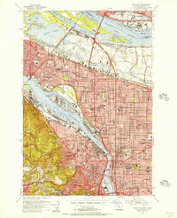 1954 Portland1956 Print · USGSMid-century Portland and Vancouver appear in high detail during an era of significant post-war industrial and urban transition. Genealogists and researchers can locate the Vanport City (Site), the Swan Island Shipyard, and many parish schools such as St Andrews Sch.
 - 1954 Map of Sauvie Island, 1956 Print
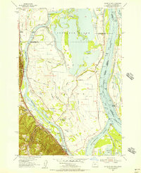 1954 Sauvie Island1956 Print · USGSSauvie Island and the Columbia River confluence are shown in detail during the mid-fifties, capturing a landscape of levees, sloughs, and river landings. Trace family roots and local history at Burlington, the Sauvie Island School, and the Spokane Portland and Seattle RR line.
 - 1954 Map of Vancouver, 1957 Print
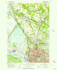 1954 Vancouver1957 Print · USGSMid-century Vancouver and the Columbia River lowlands are captured here as the region's industrial and institutional footprint expanded. Genealogists and local historians can trace the foundations of the city at Providence Academy, Barnes Gen Hosp, and the Salmon Creek Cemetery.
 - 1958 Map of Vancouver, 1968 Print
 1958 Vancouver1968 Print · USGSThe Lower Columbia and Willamette valleys thrive in the late sixties as major rail and river hubs. Genealogists and historians can trace the development of Portland, identify the grounds of Camp Withycombe, and locate coastal landmarks from Tillamook Head to Garibaldi.3 unique versions available
 - 1961 Map of Portland, 1962 Print
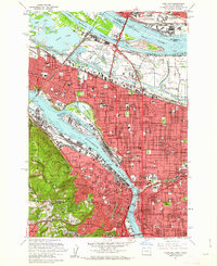 1961 Portland1962 Print · USGSPortland and Vancouver are captured during a season of rapid postwar change, showing the city's growth along the river before modern freeway expansions. Researchers can trace family roots at Mt Calvary Cemetery or locate the historic Vanport City site.3 unique versions available
 - 1961 Map of Vancouver, 1962 Print
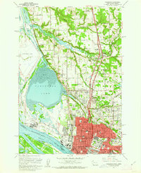 1961 Vancouver1962 Print · USGSThe riverfront and educational heart of Vancouver are captured here in the early sixties, as the city expanded northward from the Columbia. Genealogists can trace family landmarks like Salmon Creek Cem, Providence Academy, and the Washington Sch for the Deaf.5 unique versions available
 - 1961 Map of Sauvie Island, 1962 Print
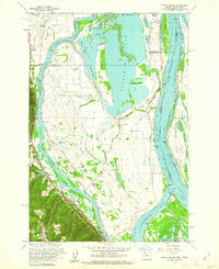 1961 Sauvie Island1962 Print · USGSAlong the Columbia River in the early sixties, the water-bound culture of the island is documented in high detail. Researchers can trace the Spokane Portland and Seattle RR through Holbrook and find local landmarks like Sauvie Island Ch.4 unique versions available
 - 1961 Map of Portland, 1963 Print
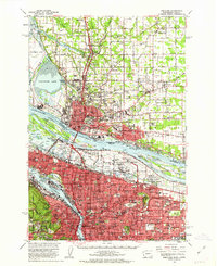 1961 Portland1963 Print · USGSThe Columbia River waterfront and the growing suburbs of the early sixties come to life in this detailed survey of the Oregon-Washington border. Researchers can trace the legacy of Vanport City, find the St. Johns Cemetery, or locate the Fort Vancouver National Monument.3 unique versions available
 - 1961 Map of Hillsboro, 1963 Print
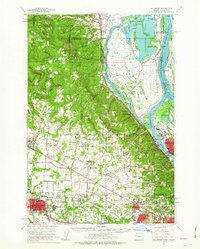 1961 Hillsboro1963 Print · USGSThe Tualatin Valley and Columbia River bottomlands appear in the early sixties as industrial expansion meets established farm country. Trace old rail lines and family history at Tualatin Plains Cem, North Plains, and the Meeks Land Claim Historical Marker.2 unique versions available
 - 1964 Map of Vancouver
 1964 Vancouver1964 Print · USGSThe Pacific Northwest interior and coast are shown here in the 1960s, from the Portland metropolitan hub to the rugged Pacific shoreline. Researchers can trace the legacy of the Grand Ronde Indian Reservation, the early layout of McMinnville, and the maritime approaches near Tillamook Head.
 - 1975 Map of Portland, 1979 Print
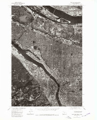 1975 Portland1979 Print · USGSGreater Portland and Vancouver are captured mid-decade in this detailed 1970s aerial survey. Trace the industrial waterfronts, residential grids, and the distinct elevation of Sylvan as they appeared just before years of modern redevelopment.2 unique versions available
 - 1979 Map of Vancouver, 1980 Print
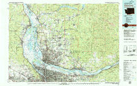 1979 Vancouver1980 Print · USGSThe Portland and Vancouver metropolitan area is captured here in the late seventies, showing the dense nexus of river, rail, and air transit. Genealogists and local historians can trace the footprints of Vancouver Barracks, Lincoln Memorial Park Cem, and the old rail lines of the Burlington Northern.2 unique versions available
 - 1990 Map of Sauvie Island, 1995 Print
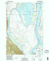 1990 Sauvie Island1995 Print · USGSSauvie Island and the Columbia River confluence appear here in the early 1990s, where river hydrology meets the Tualatin foothills. Trace the historical tracks of the Burlington Northern RR through Burlington and Holbrook, or explore the old river landings at Chapman Landing and Morgan Landing.
 - 1990 Map of Portland, 1995 Print
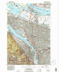 1990 Portland1995 Print · USGSPortland and Vancouver are captured at a point of high urban density and industrial maturity in the 1990s. Genealogists and historians can trace neighborhood evolutions through landmarks like Lone Fir Cemetery, Albina, and the historic Fort Vancouver National Historic Site.
 - 1990 Map of Vancouver, 1995 Print
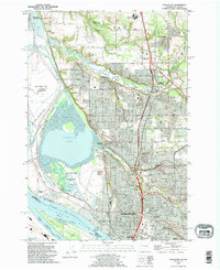 1990 Vancouver1995 Print · USGSVancouver and its Columbia River waterfront are captured here in the 1990s as the city expanded northward toward Salmon Creek. Researchers can locate family plots at Salmon Creek Cem, explore the grounds of Clark College, or trace the rail lines through Vancouver Junction.
 - 2011 Map of Vancouver, 2011 Print
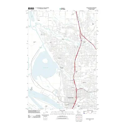 2011 Vancouver2011 Print · USGSThe northern bank of the Columbia River comes to life here during the early 2010s, showing a mix of urban density and vast riverfront wetlands. Researchers can locate landmarks like Officers Row, the industrial Port of Vancouver, and several burial grounds including Saint James Cemetery.
Showing maps 1-25 of 39
Frequently asked questions
- What are the different types of historical maps available for Fruit Valley?
- What is the oldest map of Fruit Valley?
- Where can I purchase historical maps of Fruit Valley for my home or office?
- Where can I download high-res historical maps of Fruit Valley?
- Are there historical topographic maps available for Fruit Valley?
- Is there historical aerial imagery available for Fruit Valley?
- Where are historical maps of Fruit Valley sourced from?