Old Maps of Boyds, Washington for Metal Detecting
Plan your next treasure hunt with 14 historic maps of Boyds. Find old homesites, ghost towns, trails, and gathering spots that may be lost to time — perfect for identifying promising metal detecting locations.
- Locate forgotten sites: Uncover places like long-lost settlements, abandoned rail lines, or gathering spots.
- Plan better hunts: Use map overlays combined with LiDAR or satellite views to narrow in on historically rich areas.
- Made for detectorists: Thousands of hobbyists use these maps to discover relics, coins, and hidden history.
Use these historic maps to boost your research and find new opportunities beneath the surface of Boyds.
Boyds, WA maps
(14)- 1936 Map of Marcus
 1936 Marcus1936 Print · USGSUpper Stevens County was a hub of mining and rail transport in the mid-1930s, where the Kettle River meets the Columbia River. Genealogists can trace family roots through numerous rural landmarks like Napoleon Sch and the Old Catholic Mission.
 - 1942 Map of Marcus
 1942 Marcus1942 Print · USGSUpper Stevens County in the late thirties shows a rugged landscape of rail-connected river towns and mountain mines. Trace family roots at the Old Catholic Mission or locate early industrial sites like the Kettle River Mine and Meyers Falls.3 unique versions available
 - 1948 Map of Kettle Falls, 1960 Print
 1948 Kettle Falls1960 Print · USGSThe Kettle Falls region of Stevens County is captured here shortly after the creation of Lake Roosevelt. Genealogists and local historians can locate the community of Boyds, the Sherwood Sch (Aban'd), and family-named landmarks like Bisbee Mtn.
 - 1951 Map of Kettle Falls
 1951 Kettle Falls1951 Print · USGSThe Columbia River shoreline appears as the recently formed Franklin D Roosevelt Lake in this early 1950s study of the Colville National Forest. Genealogists and historians can trace the settlement at Boyds and identify rural landmarks like Sch No 10 and the Sherwood Sch (Aban'd).
 - 1954 Map of Okanogan, 1964 Print
 1954 Okanogan1964 Print · USGSNorth Central Washington’s interior comes into focus during the mid-fifties, showing the rise of the Columbia River reservoir system. Genealogists and historians can trace the Great Northern rail line and locate historical mining operations at the Mountain Lion Mine or Gold Hill Mine.2 unique versions available
 - 1958 Map of Okanogan
 1958 Okanogan1958 Print · USGSThe Okanogan River valley and the Colville Indian Reservation are shown here in the late fifties, during a period of established river and rail commerce. Researchers can trace the Great Northern line through Oroville or locate landmarks like the Knowlton School and Orient Ranger Station.
 - 1969 Map of Boyds, 1971 Print
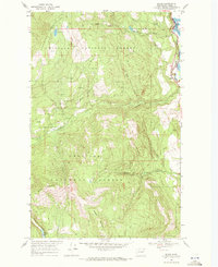 1969 Boyds1971 Print · USGSThe Kettle River Range foothills meet the Columbia River valley in this late sixties survey of the Ferry and Stevens county line. Local historians can trace the Burlington Northern rail corridor through Boyds or locate landmarks like Hoodoo Mountain and Davis Lake.2 unique versions available
 - 1984 Map of Republic
 1984 Republic1984 Print · USGSThe Okanogan Highlands and Kettle River Range are shown in the mid-1980s, documenting a landscape shaped by mining and timber. Genealogists can trace old settlements like Bodie and Toroda, or locate historic workings such as the Knob Hill Mine and First Thought Mine.
 - 1992 Map of Boyds, 1996 Print
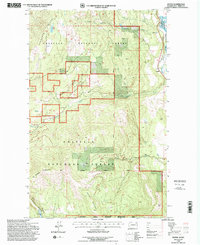 1992 Boyds1996 Print · USGSFerry County's river valley and timberlands are captured here in the early 1990s, centered on the Burlington Northern rail corridor. Researchers can trace the rugged topography from Hoodoo Mountain down to the settlement at Boyds and the Kettle River shoreline.
 - 2011 Map of Boyds, 2011 Print
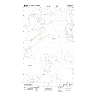 2011 Boyds2011 Print · USGSCovers Boyds, including Stevens County, Ferry County, and other nearby areas
 - 2014 Map of Boyds, 2014 Print
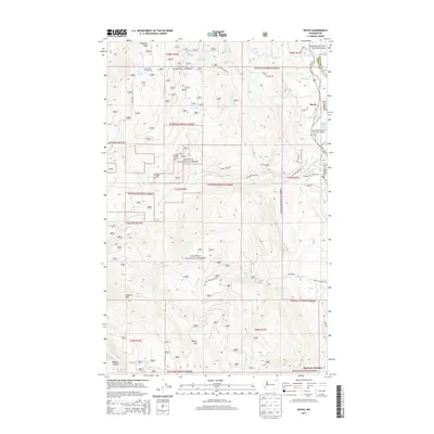 2014 Boyds2014 Print · USGSCovers Boyds, including Stevens County, Ferry County, and other nearby areas
 - 2017 Map of Boyds, 2017 Print
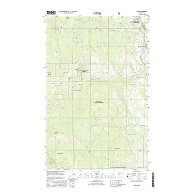 2017 Boyds2017 Print · USGSCovers Boyds, including Stevens County, Ferry County, and other nearby areas
 - 2020 Map of Boyds, 2020 Print
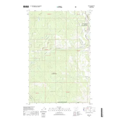 2020 Boyds2020 Print · USGSCovers Boyds, including Stevens County, Ferry County, and other nearby areas
 - 2023 Map of Boyds, 2023 Print
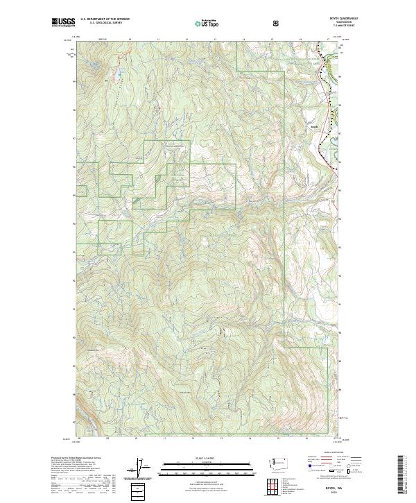 2023 Boyds2023 Print · USGSNortheastern Washington’s river valley and high timberlands are captured here in the early twenty-first century as the landscape balances recreation and conservation. Genealogists and hikers can trace the paths of the Thompson Ridge Trl, locate the settlement of Boyds, or explore the area around Davis Lake.
End of results
Showing maps 1-14 of 14
Top cities near Boyds
Frequently asked questions
- What are the different types of historical maps available for Boyds?
- What is the oldest map of Boyds?
- Where can I purchase historical maps of Boyds for my home or office?
- Where can I download high-res historical maps of Boyds?
- Are there historical topographic maps available for Boyds?
- Is there historical aerial imagery available for Boyds?
- Where are historical maps of Boyds sourced from?