Old Maps of Impach, Washington
Explore 10 old maps of Impach, spanning from 1950 to today. These high-resolution historic maps reveal how streets, neighborhoods, landmarks, and natural features evolved over time — perfect for genealogy, metal detecting, research, and local history exploration.
What you can do with these maps:
- See how Impach changed over time: Compare historical maps to modern-day views to trace roads, homesites, rail lines & more.
- View detailed metadata: Each map includes creators, publishers, year, scale, and archive source.
- Overlay maps with satellite & LiDAR: Visualize the past alongside modern tools to explore terrain & human change.
- Trusted historical sources: Maps sourced from the USGS, Library of Congress, and other archives.
- Access maps your way: View online, download high-res files, or order prints for personal or research use.
Start exploring old maps of Impach to uncover forgotten places, hidden landmarks, and the deep history beneath your feet.
Impach, WA maps
(10)- 1950 Map of Inchelium, 1952 Print
 1950 Inchelium1952 Print · USGSThe Huckleberry Range and the newly formed Franklin D Roosevelt Lake define this mid-century look at the Columbia River valley. Genealogists and historians can trace riverside settlements like Rice and Inchelium, as well as industrial remnants like the Columbia Tungsten Mine.4 unique versions available
 - 1954 Map of Okanogan, 1964 Print
 1954 Okanogan1964 Print · USGSNorth Central Washington’s interior comes into focus during the mid-fifties, showing the rise of the Columbia River reservoir system. Genealogists and historians can trace the Great Northern rail line and locate historical mining operations at the Mountain Lion Mine or Gold Hill Mine.2 unique versions available
 - 1958 Map of Okanogan
 1958 Okanogan1958 Print · USGSThe Okanogan River valley and the Colville Indian Reservation are shown here in the late fifties, during a period of established river and rail commerce. Researchers can trace the Great Northern line through Oroville or locate landmarks like the Knowlton School and Orient Ranger Station.
 - 1984 Map of Nespelem
 1984 Nespelem1984 Print · USGSThe Colville Indian Reservation and the Columbia River valley are shown here in the mid-1980s, just as modern recreation was shaping the landscape. Genealogists and researchers can locate old communities like Inchelium and Keller or trace mining history at the Germania Mine.
 - 1985 Map of Inchelium
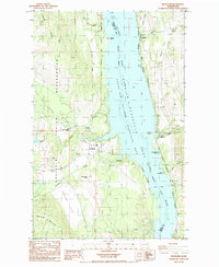 1985 Inchelium1985 Print · USGSIn the mid-1980s, this portion of the Columbia River valley highlights the intersection of the Colville Indian Reservation and the rising waters of Franklin D Roosevelt Lake. Researchers can trace the river's influence on local life through the Gifford Ferry, the Colville Indian Subagency, and the site of the former settlement at Impach.2 unique versions available
 - 2011 Map of Inchelium, 2011 Print
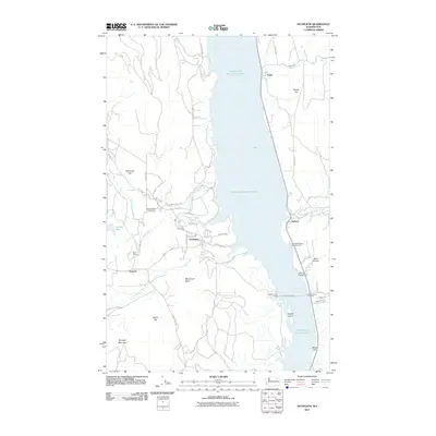 2011 Inchelium2011 Print · USGSThe Columbia River valley in Ferry County is centered around Inchelium and the expansive Franklin D Roosevelt Lake during the early 2000s. Researchers can trace the river's transport history via the Inchelium Ferry Landing or locate landmarks like Guinn Mine and Monument Butte.
 - 2014 Map of Inchelium, 2014 Print
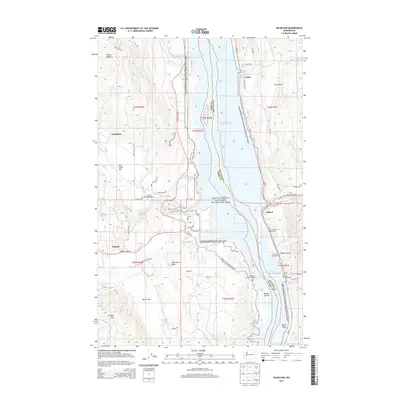 2014 Inchelium2014 Print · USGSThe Columbia River valley in Northeast Washington remains a landscape defined by its waterways and reservation lands in the early twenty-first century. Researchers can trace the ferry system connecting Inchelium to Gifford, or locate landmarks like the Colville Indian Subagency and Bissell Island.
 - 2017 Map of Inchelium, 2017 Print
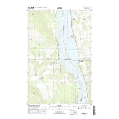 2017 Inchelium2017 Print · USGSThe Columbia River valley north of Hunters is captured here in the late twenty-tens, showing the relationship between Inchelium and the waters of Franklin D Roosevelt Lake. Local historians can trace family land across Bissell Flats or locate the Magee Creek Aerodrome and the small settlements of Impach and Gifford.
 - 2020 Map of Inchelium, 2020 Print
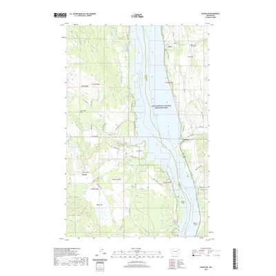 2020 Inchelium2020 Print · USGSThe Columbia River valley north of Hunters is captured here in the contemporary era, showing the expansive Franklin D Roosevelt Lake and surrounding mountain terrain. Local historians can trace old mining routes like Daisy Mine Rd, find the Magee Creek Aerodrome, and locate family sites near Impach and Bissell Island.
 - 2023 Map of Inchelium, 2023 Print
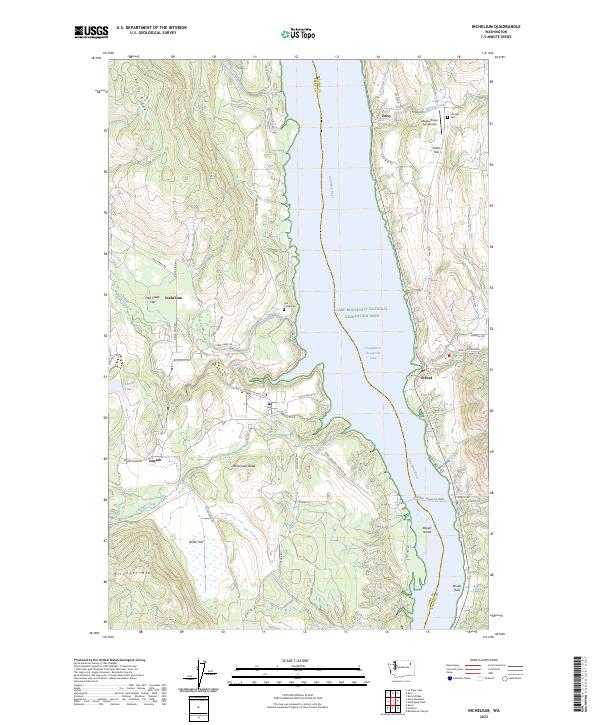 2023 Inchelium2023 Print · USGSThe Columbia River corridor near Inchelium and Gifford comes into focus here, showing the modern lake landscape and ferry crossings. Researchers can trace family history at Fairview Cem, locate the Magee Creek Aerodrome, or explore the reaches of Stranger Creek.
End of results
Showing maps 1-10 of 10
Frequently asked questions
- What are the different types of historical maps available for Impach?
- What is the oldest map of Impach?
- Where can I purchase historical maps of Impach for my home or office?
- Where can I download high-res historical maps of Impach?
- Are there historical topographic maps available for Impach?
- Is there historical aerial imagery available for Impach?
- Where are historical maps of Impach sourced from?