
1950 Map of Inchelium
USGS Topo · Published 1952About this map
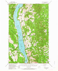
The Franklin D Roosevelt Lake dominates the center of this mid-century survey, reflecting the landscape following the impoundment of the Columbia River. Along its eastern shores, the small communities of Rice, Daisy, and Gifford serve as anchor points in a terrain defined by the rising elevations of the Huckleberry Range. The western bank is largely occupied by the Colville Indian Subagency at Inchelium, with the Indian Reservation Boundary following the river’s original course.
Find a feature on this map
80 named features on this map. Tap any name to fly to it.
Don’t see what you’re looking for? This feature index may not catch every label — zoom into the map to look around manually.
Map Details
Editions of this 1950 Inchelium Map
4 editions found
Other maps of this area

1927 · Chewelah
USGS Topo · 1:125,000

1929 · Colville
USGS Topo · 1:125,000

1930 · Chewelah
USGS Topo · 1:125,000

1933 · Colville
USGS Topo · 1:125,000

1936 · Marcus
USGS Topo · 1:96,000

1942 · Marcus
USGS Topo · 1:125,000

1948 · Sherman Peak
USGS Topo · 1:62,500

1948 · Kettle Falls
USGS Topo · 1:62,500

1948 · Hunters
USGS Topo · 1:62,500

1948 · Wilmont Creek
USGS Topo · 1:62,500